55 - Bachelor Mountain

Mt. Jefferson
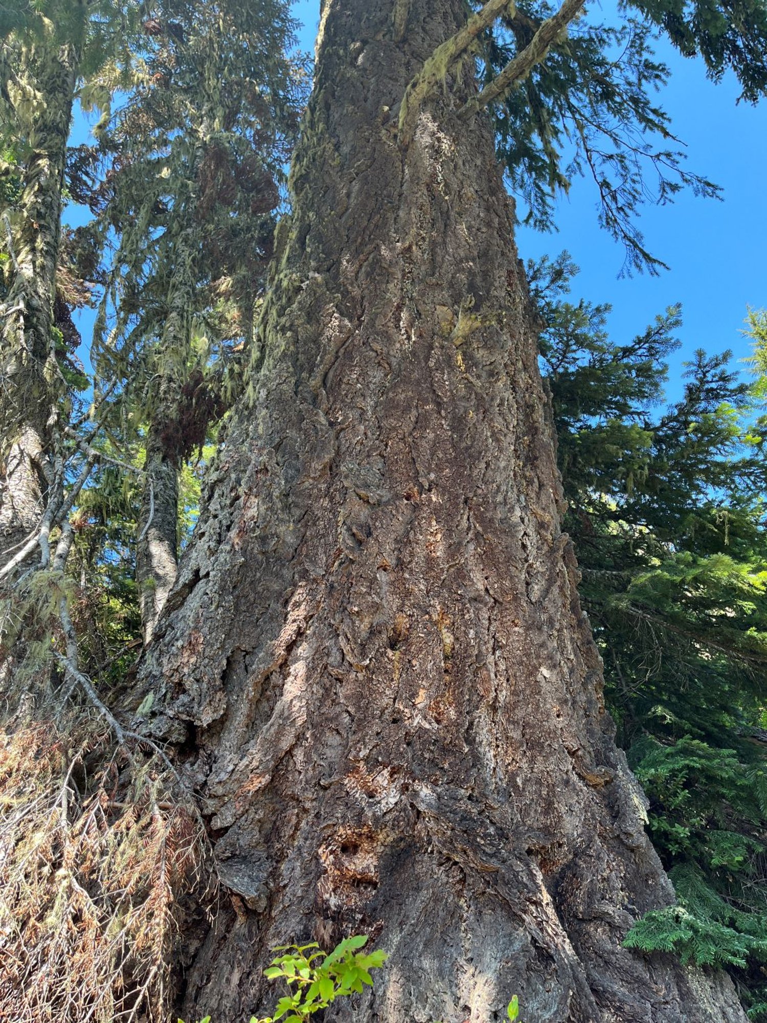
Old Douglas-fir

Old noble fir crowns

Lionshead Fire (2020), Detroit

Western white pine

Coffin Mountain

Mountain hemlock

Pacific silver fir, mountain hemlock