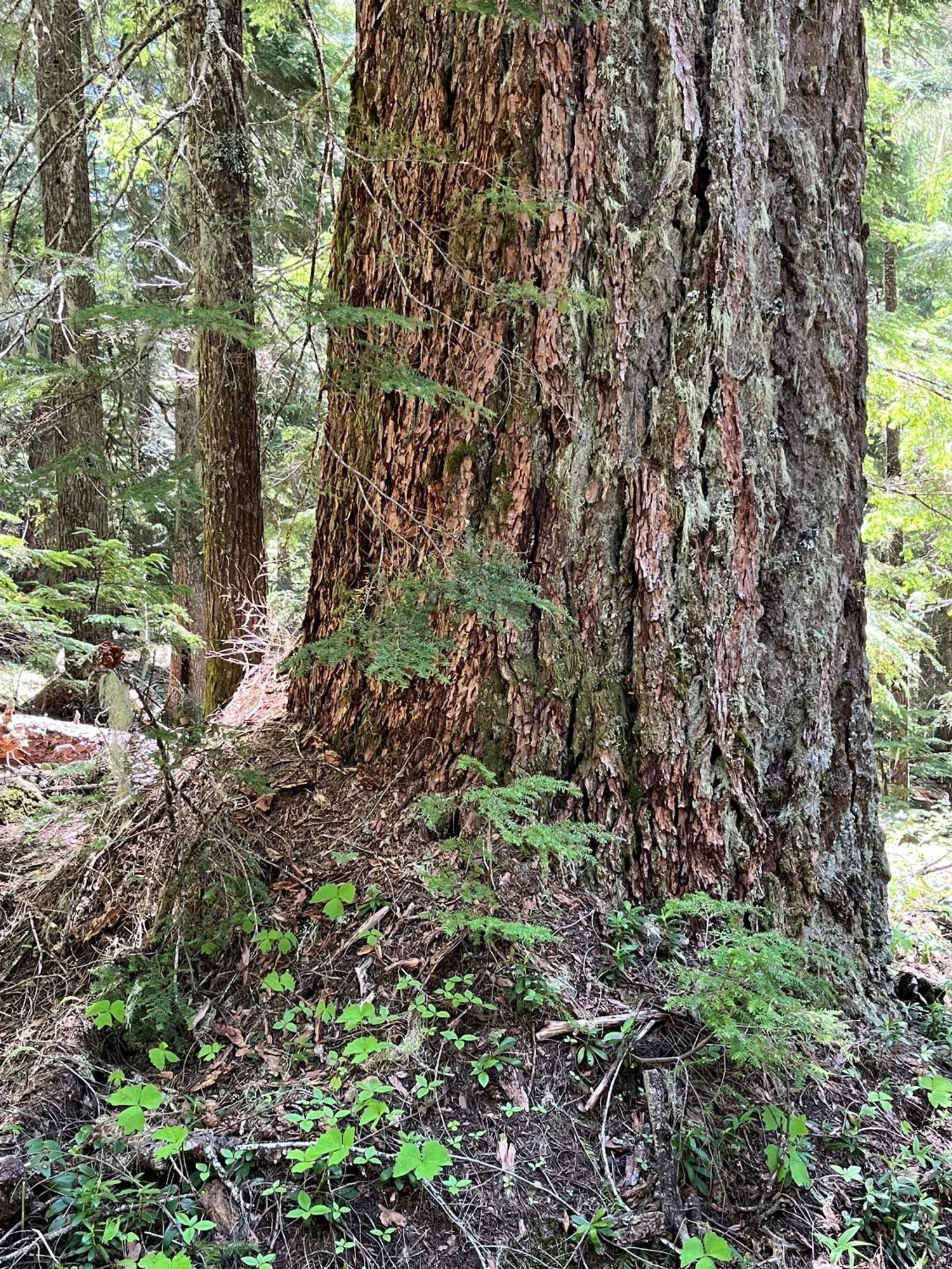
59. Pamelia Lake
Summary
Length 3 ¼ miles one way
Difficulty Moderate
Season Late spring to autumn
Elevation range 3,110 – 4,340 feet
Human imprint High (hikers and backpackers)
Information Willamette National Forest (Detroit Ranger District)
Primary old growth features
Classic mixed Douglas-fir/western hemlock/noble fir old growth; beautiful riparian old growth.
Description
Pamelia Lake has long been a very popular spot, known both for its beauty and for its easy access. The lake is a choice spot for day-hikers and backpackers, and an entry point for longer excursions. Note that due to heavy use, a Central Cascades Wilderness Permit is now required for legal entry to the area from June 15 through October 15. The permit must be acquired online (Recreation.gov) and is not available at the trailhead.
The path to the lake is a gentle two-mile ascent alongside frothy Pamelia Creek through a beautiful, mossy old forest. Large Douglas-fir and occasional western redcedar frame the Pamelia Lake Trail (3439) most of the way to the lake. The area appears quite active hydrologically with evidence of relatively recent mudflows, streambank erosion, and undercut bank trees toppling into the stream forming new log jams and plunge pools.
Although Pamelia Lake is the destination for most visitors and a prime picnic spot, the destination old growth actually lies above the lake on the way to the Pacific Crest Trail (PCT). Continue past the lake for a quarter mile to a junction with the Hunts Creek Trail (3440). Turn left heading north towards the Pacific Crest Trail. Huge Douglas-fir up to 6’ thick mingle with old noble fir and hemlock in a classic old-growth forest with the oldest trees well over 500 years old. For a dramatic, full-frontal view of Mt. Jefferson continue past the junction on the PCT into the open valley where Milk Creek flows.
Note: although I included this hike in the first edition of “50 Old-Growth Day Hikes in the Willamette National Forest” (1991), I left it off subsequent editions because the site was overused and degraded in places. Now that overuse is limited through the permit system, the fine old forest along this hike is once again sufficient reason for a visit.
30 Years of Change
The forest is still gorgeous and has only improved with age. The relatively new (begun in 2021) wilderness permit system is reducing crowds and limiting visitor damage. The Milk Creek landslide and mudflow (2006) is evident from the trail.
How to get there
Turn east onto FR 2246 off of Highway 22 just north of the highway bridge crossing Pamelia Creek (between highway mileage markers 62 and 63, approximately 12 miles southeast of Detroit.) The road is paved but bumpy for the first 2.7 miles, then gravel for just under a mile, reaching the trailhead at the end of FR 2246 approximately 3.6 miles from Highway 22.
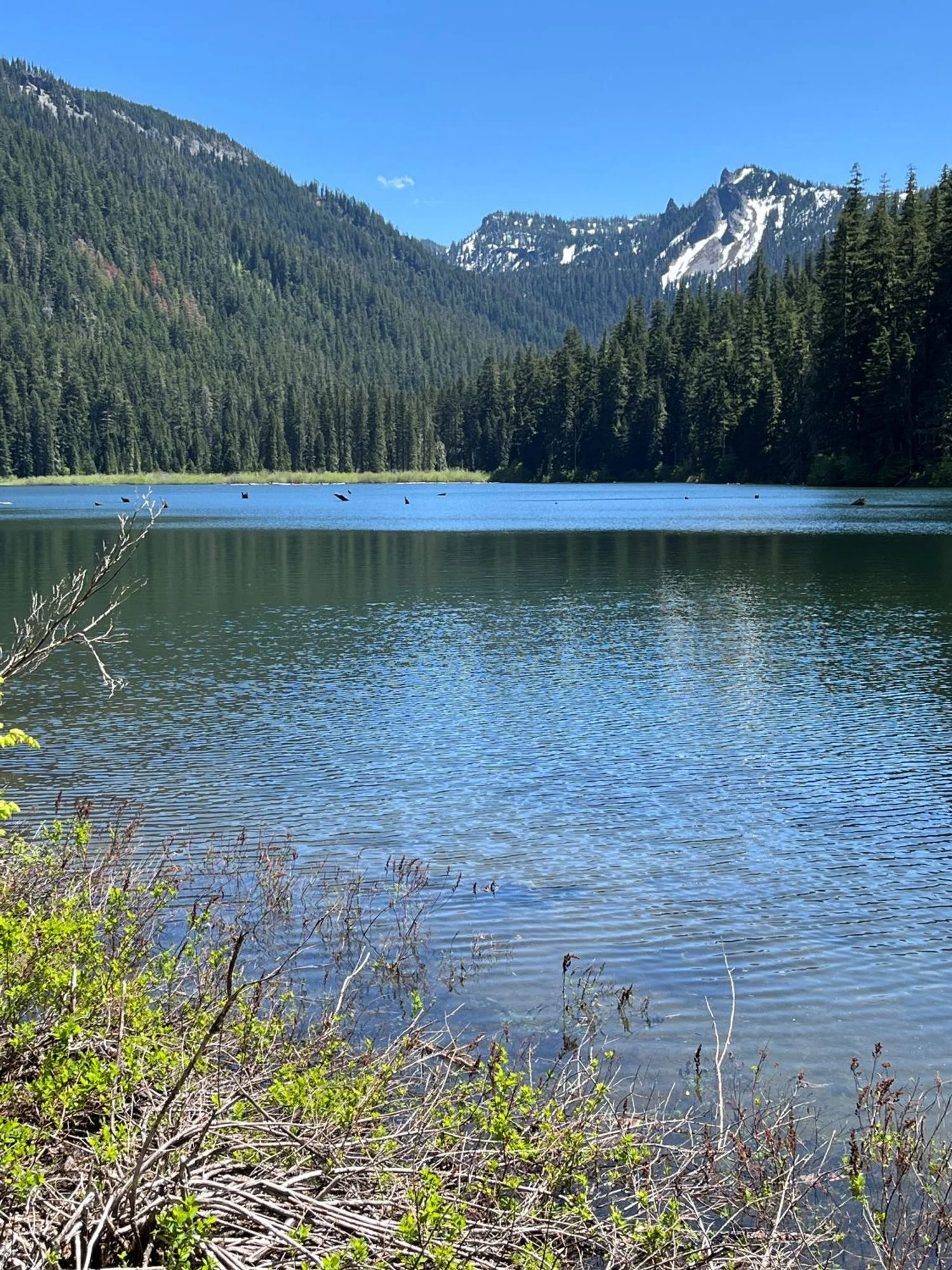
Pamelia Lake
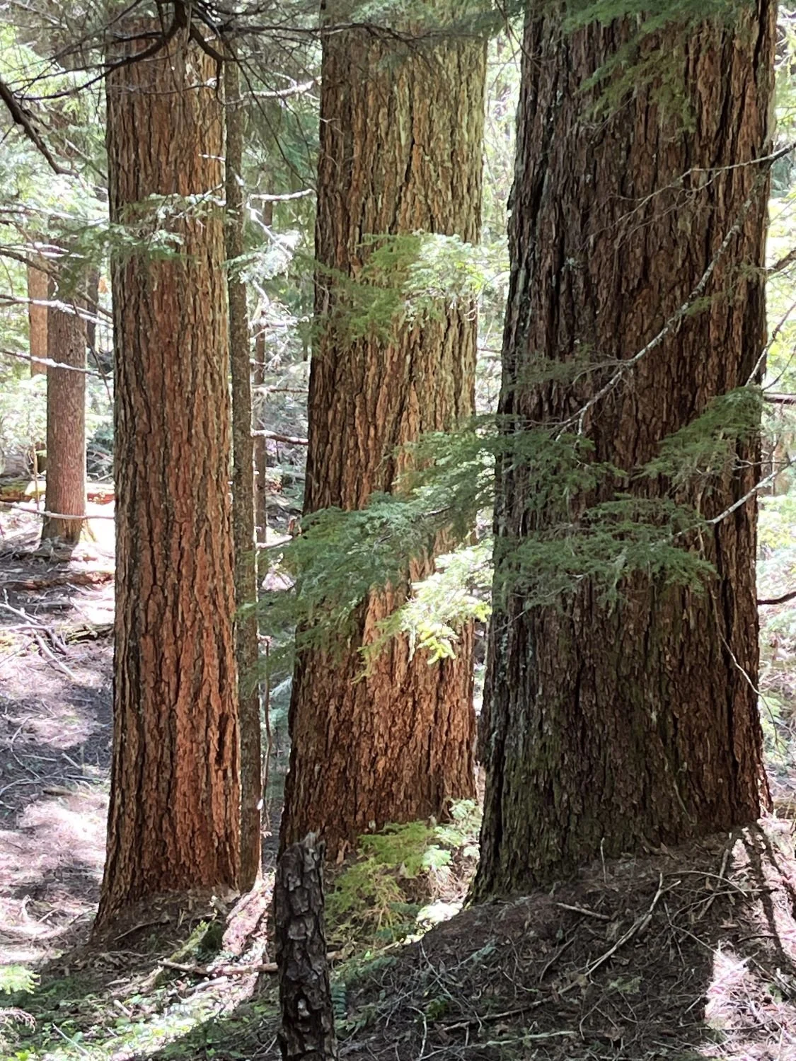
Trio of titans
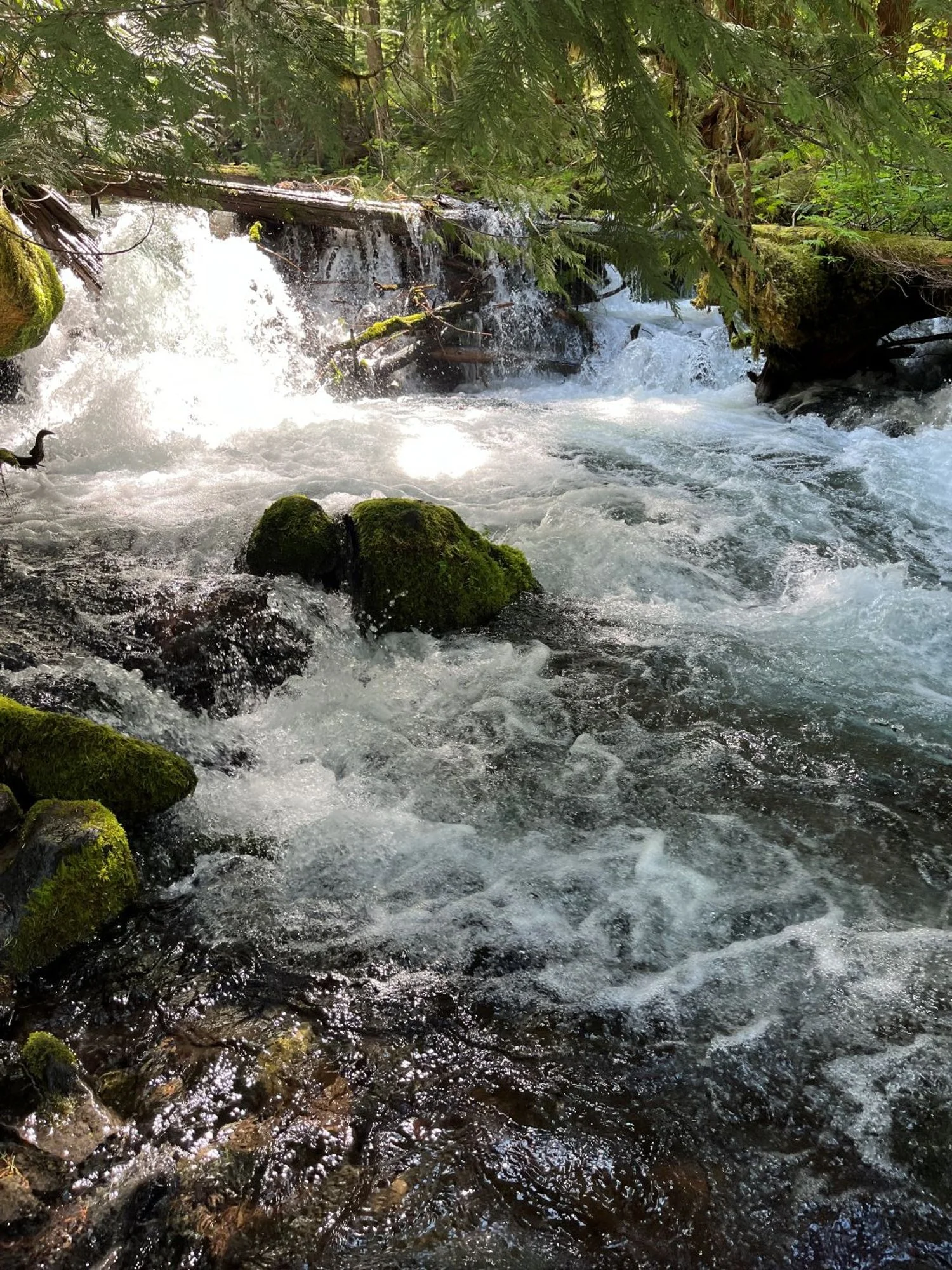
Frothy Pamelia Creek
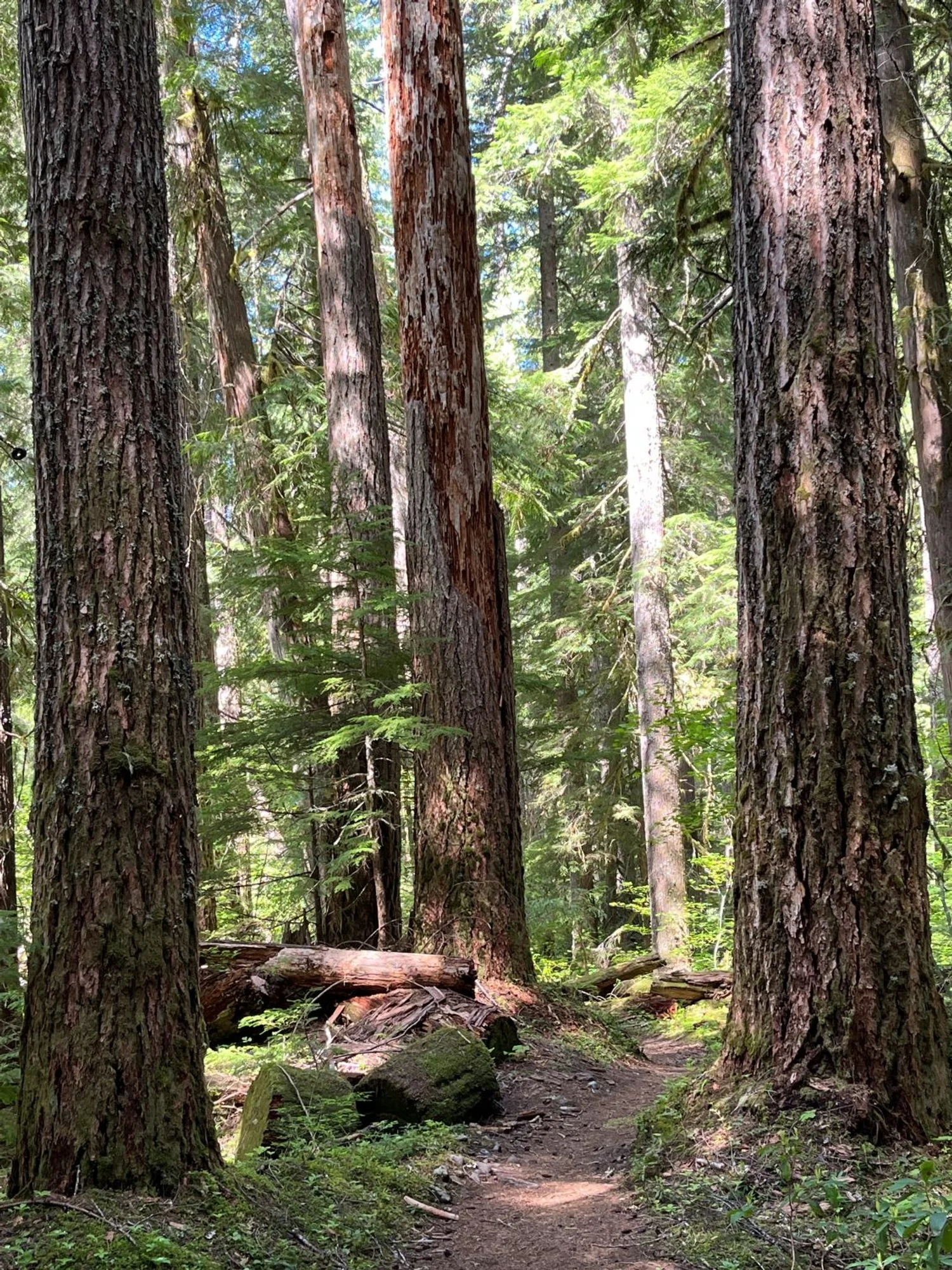
Old growth along the path
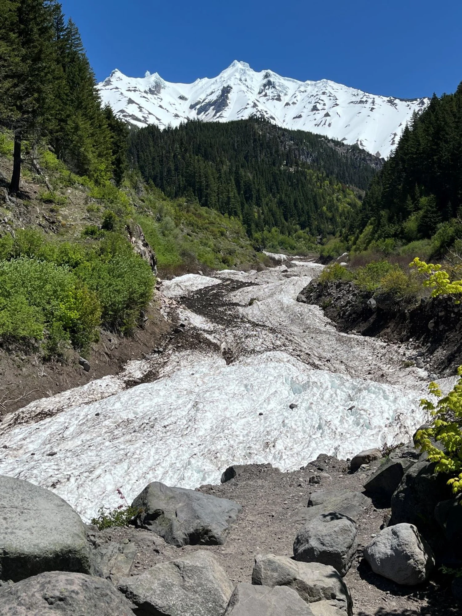
Mt. Jefferson and Milk Creek (under the snow)
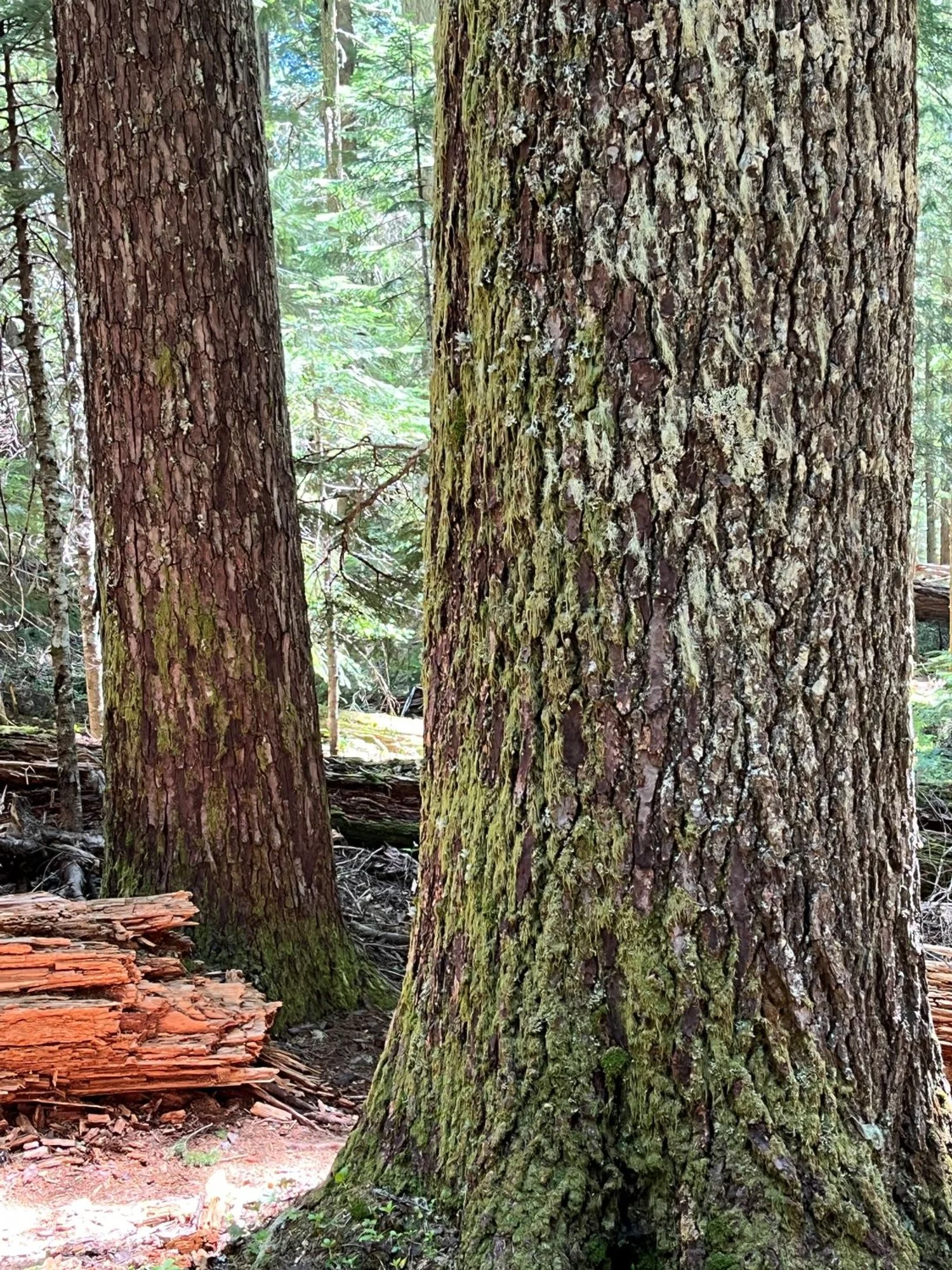
Old noble fir
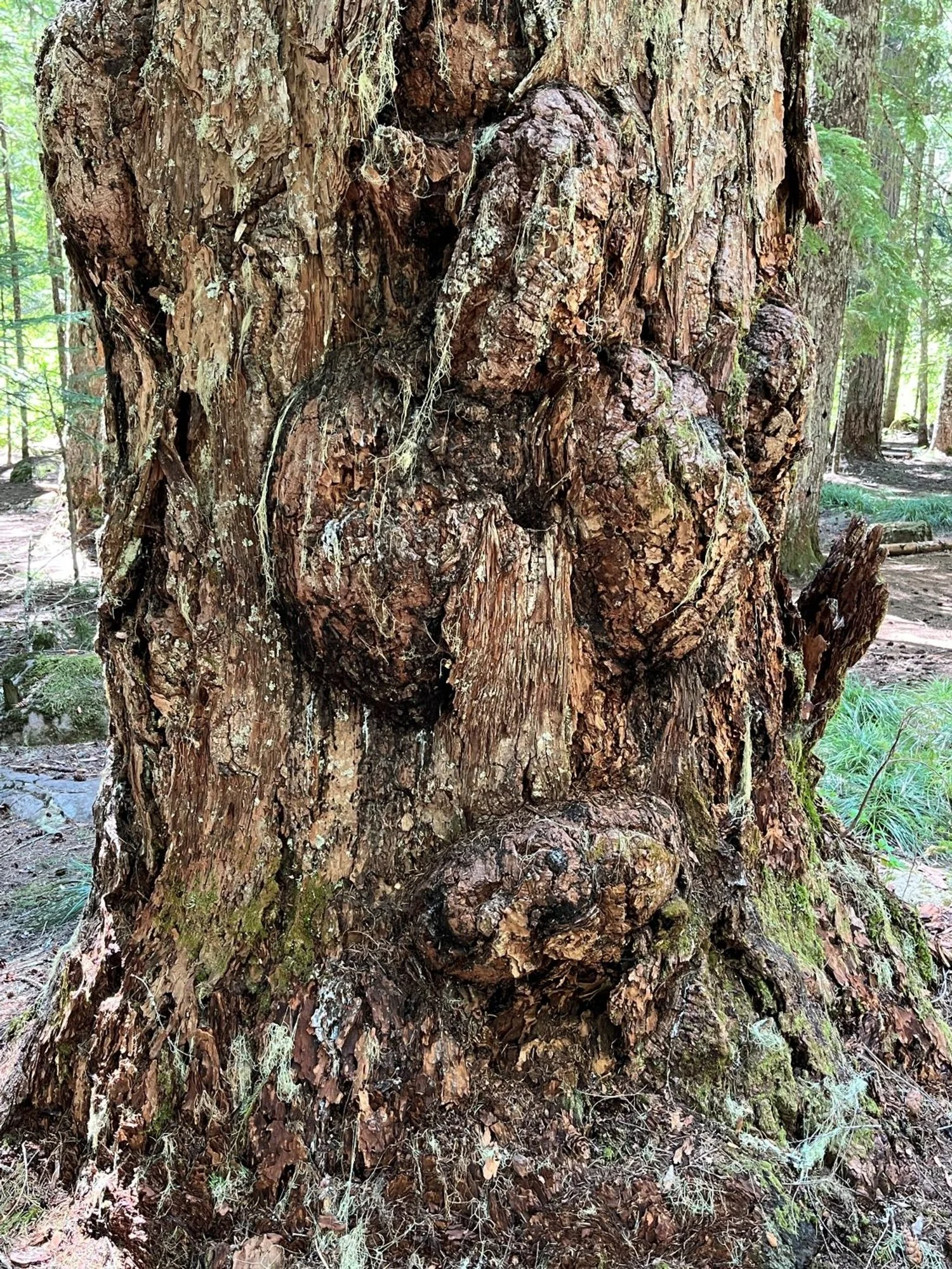
What do you see?
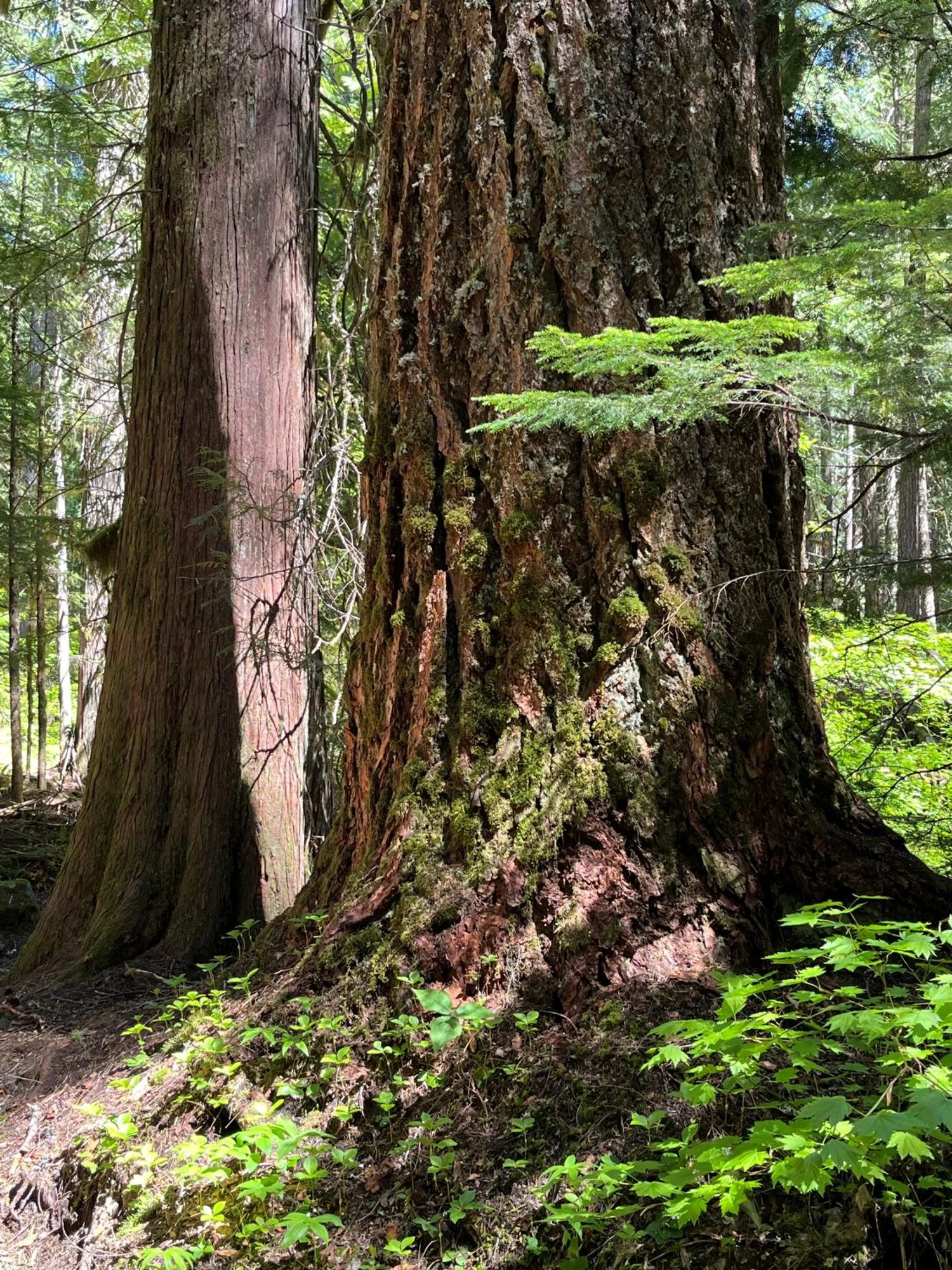
Douglas-fir and western redcedar
