Pine Bench
Note: Pine Bench burned once again in 2024 (Pine Bench Fire), including the trails leading to Pine Bench. The trails described below leading to Pine Bench are currently closed.
Summary
Length 2 ½ miles one way
Difficulty Moderate
Season Year round
Elevation range 2,060 – 2,680 feet
Human imprint Minimal (Boulder Creek Wilderness)
Information Umpqua National Forest (Diamond Lake Ranger District)
Primary old growth features
Beautiful old-growth ponderosa pine grove; large sugar pine; wide range of fire effects.
Description
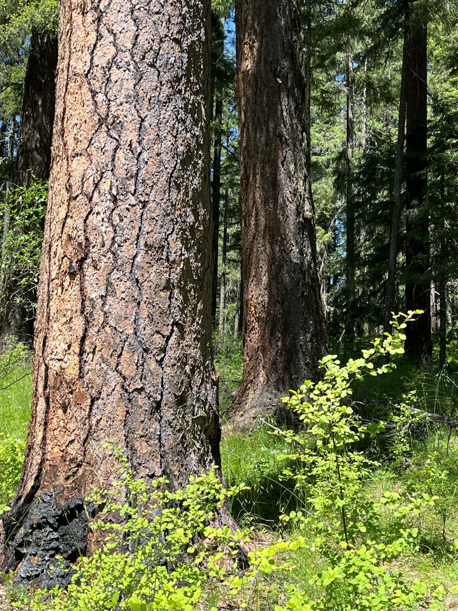
Flat-topped Pine Bench, the eroded remnant of an ancient lava flow that once filled the valley bottom, dramatically perches over Boulder Creek near its junction with the North Umpqua River. A gorgeous stand of old ponderosa pine gracefully tops the western edge of the bench, while old Douglas-fir, sugar pine and incense cedar shade the trail most of the way up to the bench. An interesting and varied recent fire history shapes the forest along the entire hike. Hikers should beware that there is abundant poison oak in places, though a wary hiker can avoid contact.
The first and most significant of the recent fires was the Spring Fire, which burned across the entire hike and through much of the surrounding Boulder Creek Wilderness following a lightning burst in August of 1996. Although the fire burned intensely in places leaving patches of high tree mortality, most of the older trees along the hike survived the fire. The next major fire was the Rattle Fire (2008), also ignited by an August lightning outburst. The Rattle Fire reburned much of the area burned in the Spring Fire, but mostly at a low to moderate severity. An August lightning storm struck once again in 2017, igniting a complex of fires, one of which (Happy Dog Fire) burned over parts of Pine Bench creating some mortality but mostly of smaller understory trees.
This recent history of overlaid fires is in full view along the trail to Pine Bench. Head west from the trailhead on the Bradley Trail (1491) passing through a moderately burned forest with small areas of higher mortality. The trail drops down to an intersection with the Soda Springs Trail (1493) about three-quarters of a mile from the trailhead. Soda Springs themselves trickle out of the ground in multiple places just before the trail junction, lightly scenting the air and leaving a yellowish residue.
Head upslope from the trail junction, winding across the basin through a patch of impressive sugar pine. If you see huge pine cones, sugar pine are nearby. The trail crosses a small secondary ridge and continues traversing up and around another small basin. A distinct patch of snag-speckled young forest is encountered where the trail crosses over a southeast-facing slope just before cresting onto the flat surface of Pine Bench.
Ponderosa pine mix into a mostly Douglas-fir forest over the much of Pine Bench, but pine become dominant on the western, more open end of the bench. Here the grassy understory contrasts with the orange-barked pines in a scene reminiscent of forests farther south. Fires burned through the bench several times in a patchy pattern, killing few overstory trees except along the margins of the bench where flames roared up the steep slopes. The bench also affords a direct view into the Rattlesnake Creek drainage where fires burned much more severely. Although Pine Bench is an exceptional destination worthy of wandering, hikers can also continue north farther into the Boulder Creek Wilderness on the Boulder Creek Trail.
30 Years of Change
Three wildfires (1996, 2008, 2017) have significantly affected the forest along this trail, although the majority of the old overstory trees remain alive along most of the hike.
How to get there
Turn left onto Medicine Creek Road (Forest Road 4775) from the North Umpqua Highway (State Route 138) approximately 55 miles east of Roseburg. Follow Medicine Creek Road for a little over 1 mile and park on the left.
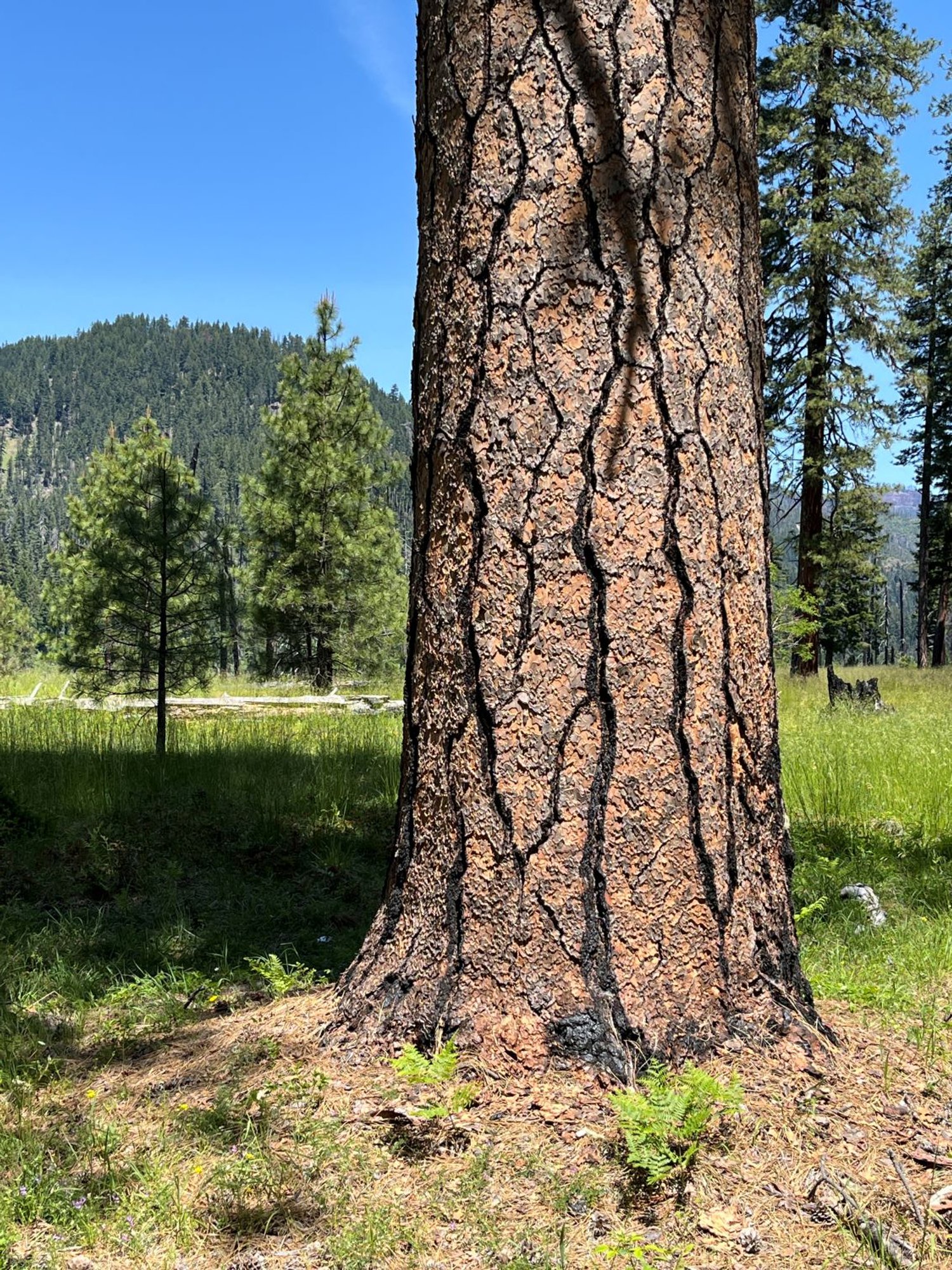
Beautiful ponderosa pine
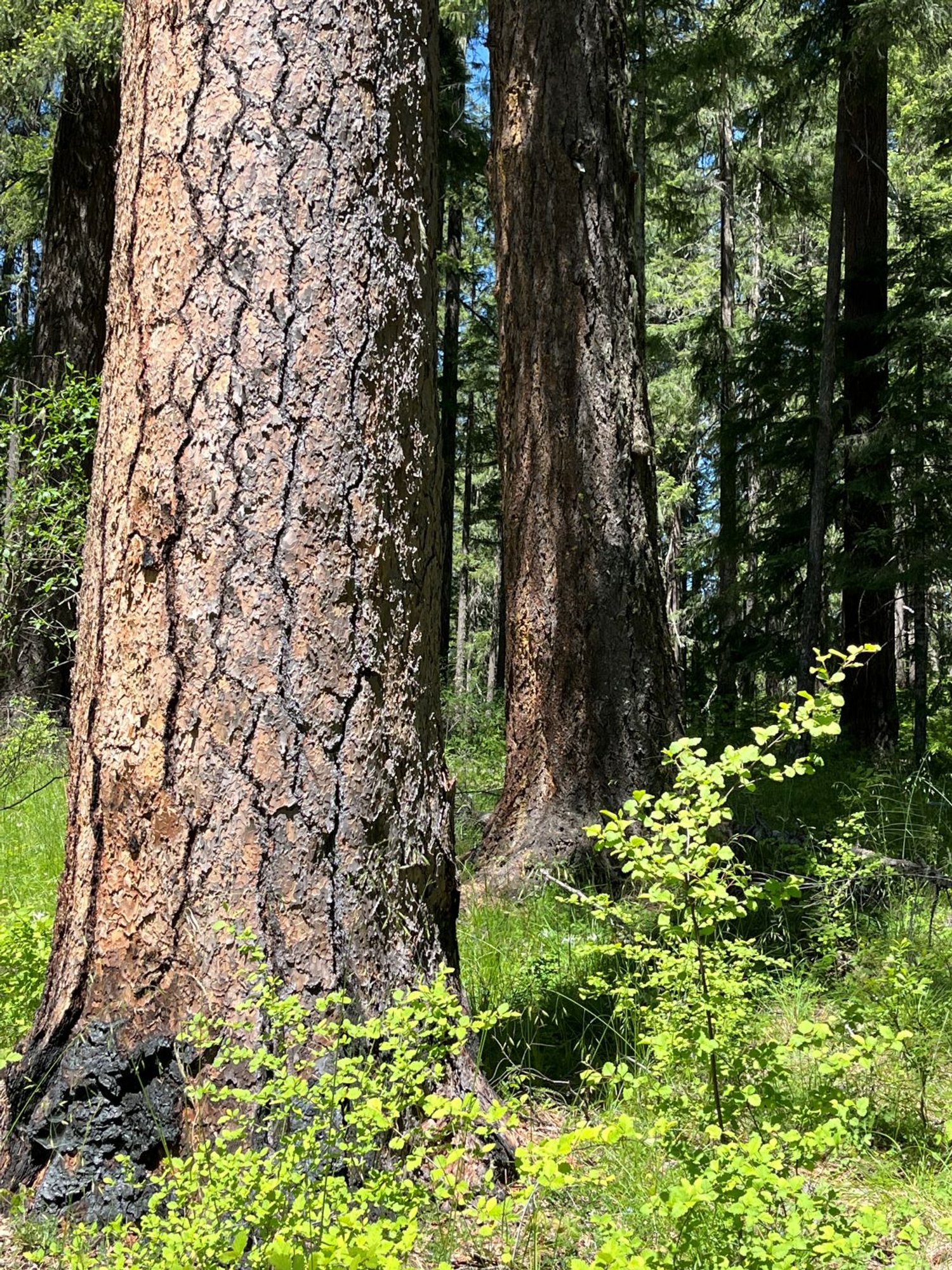
Ponderosa pine on the bench
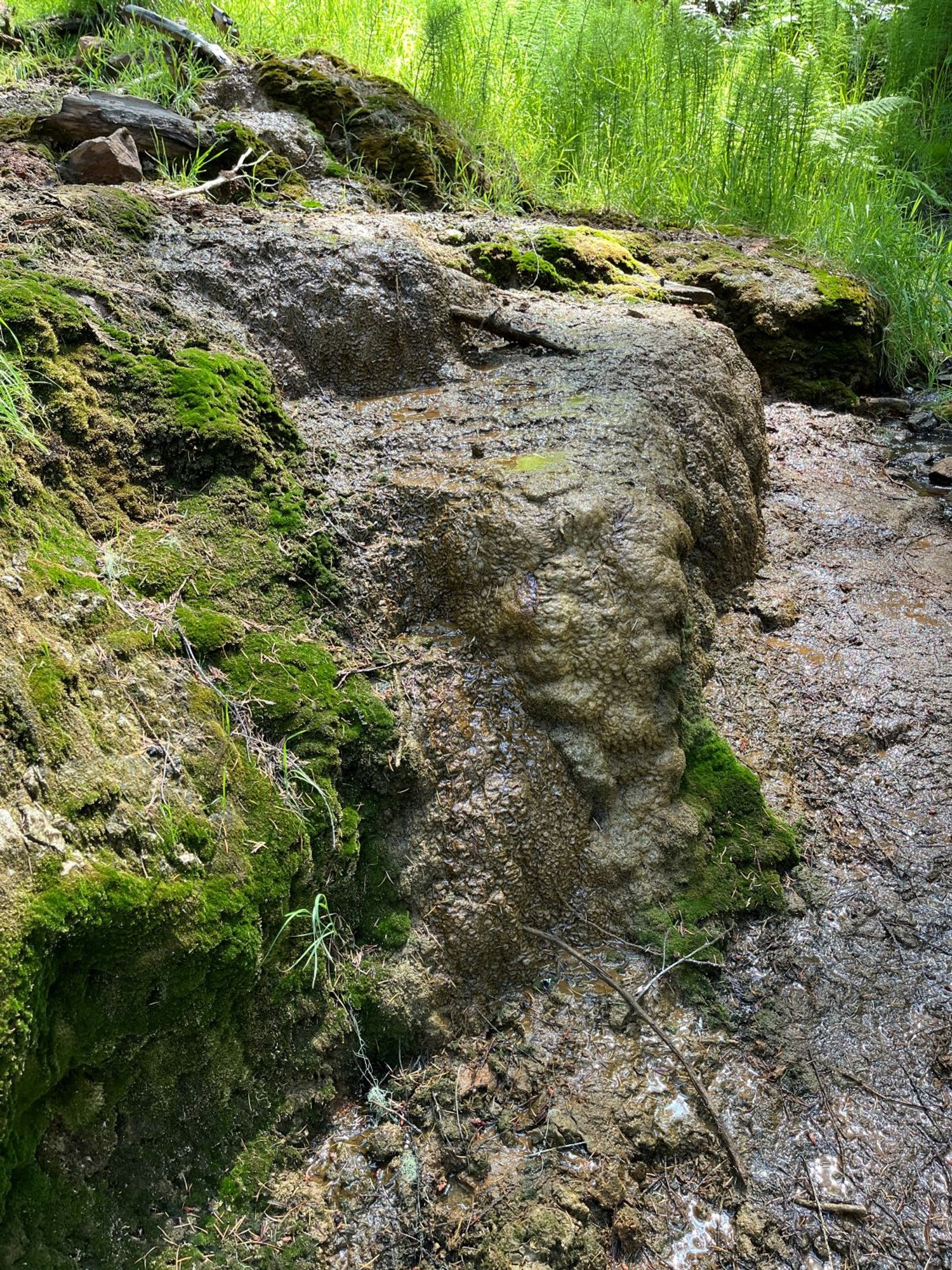
Soda Springs
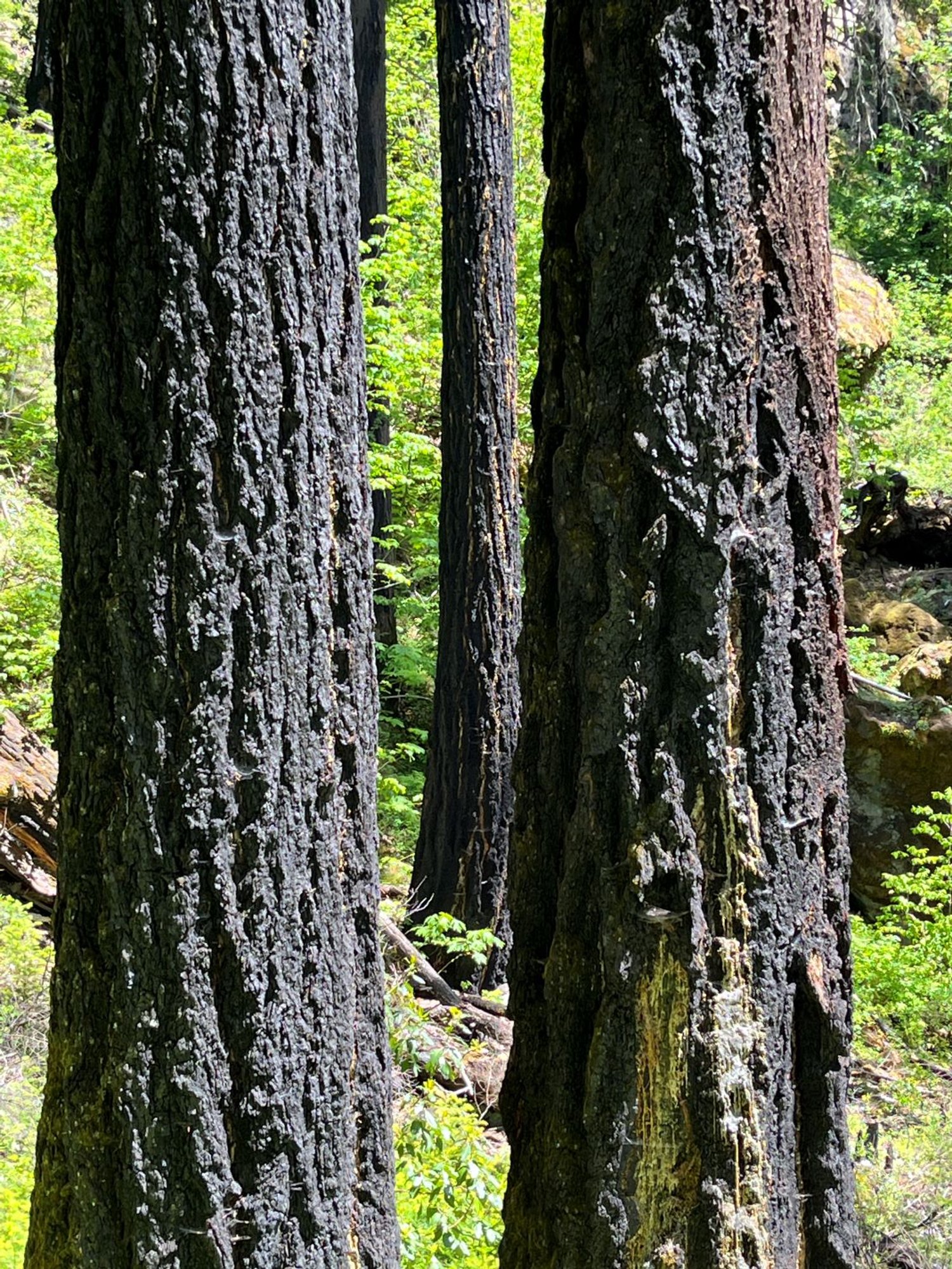
Fire-scorched survivors
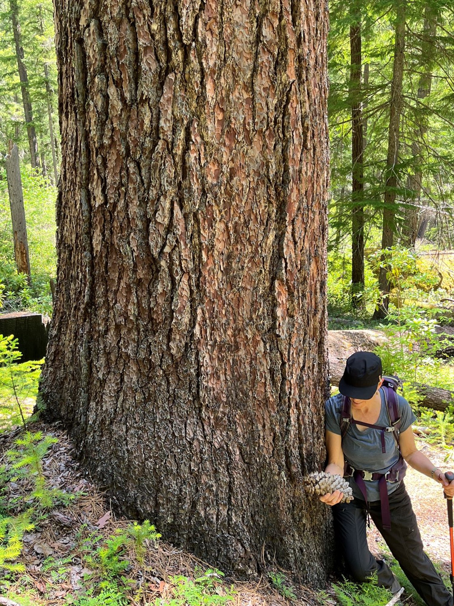
Sugar pine here
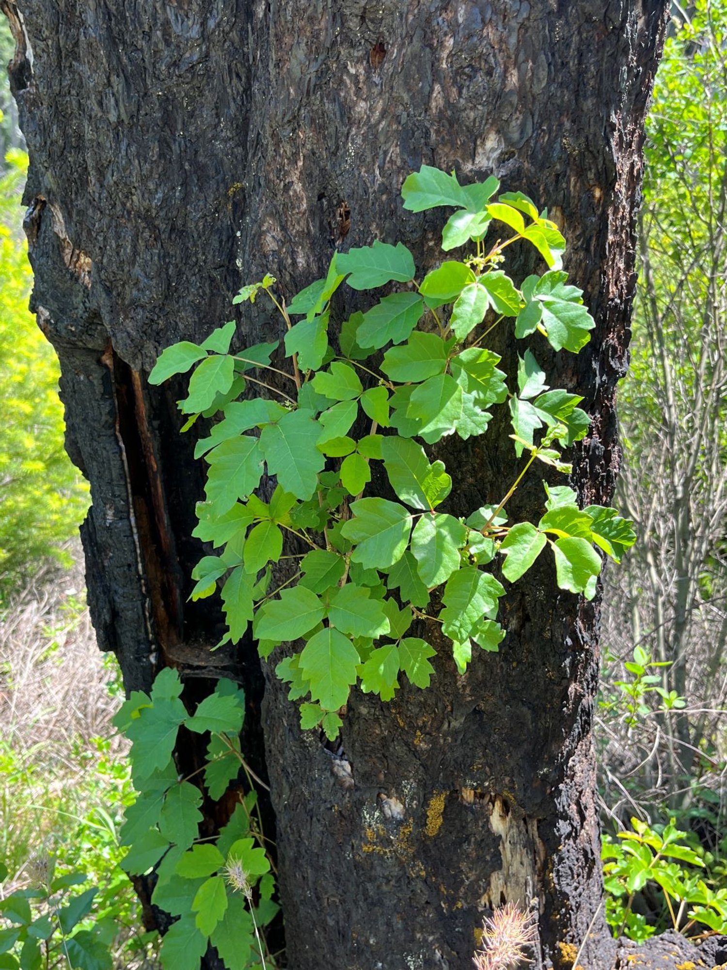
Poison oak growing out of a snag
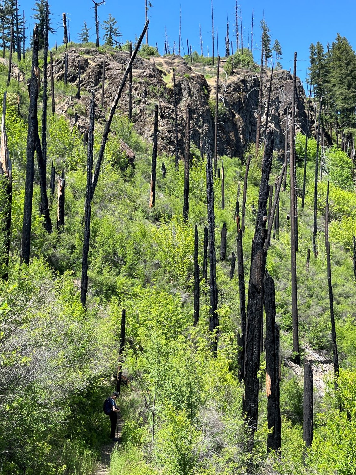
High fire-mortality patch
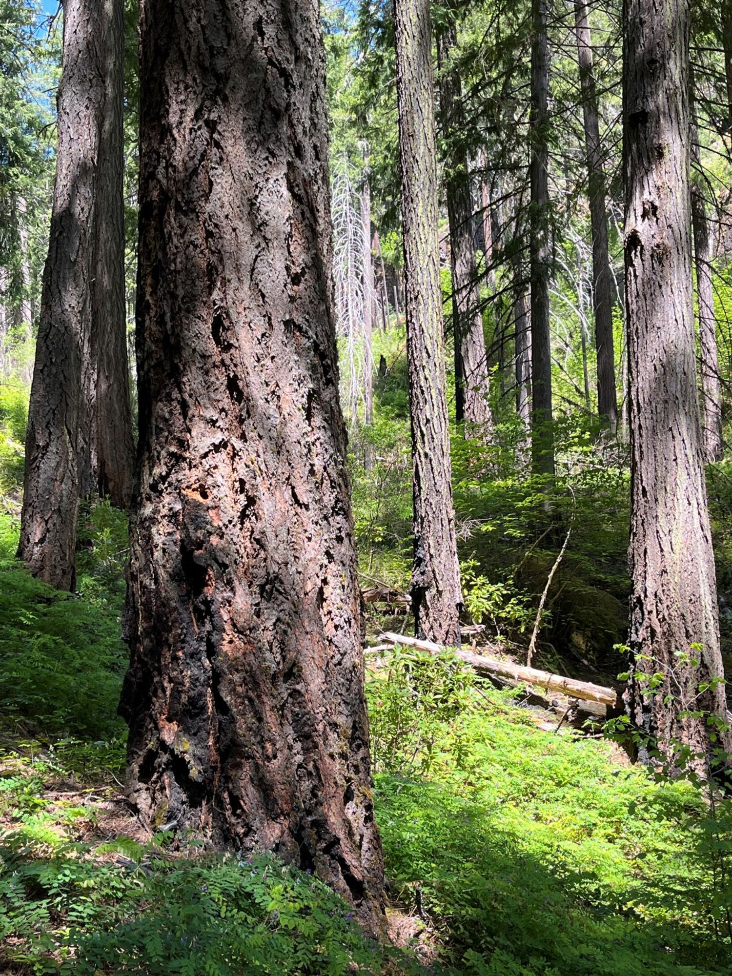
Douglas-fir on the bench
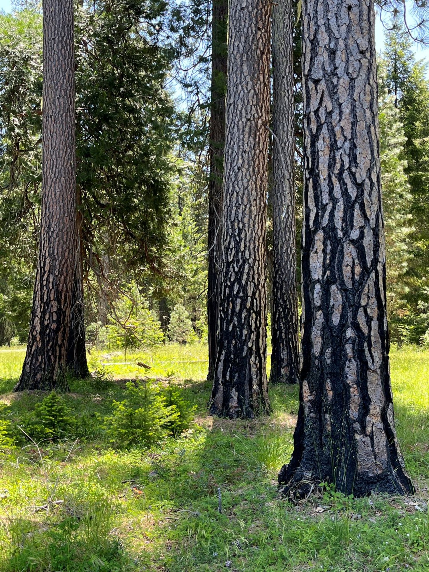
Fire-etched pine
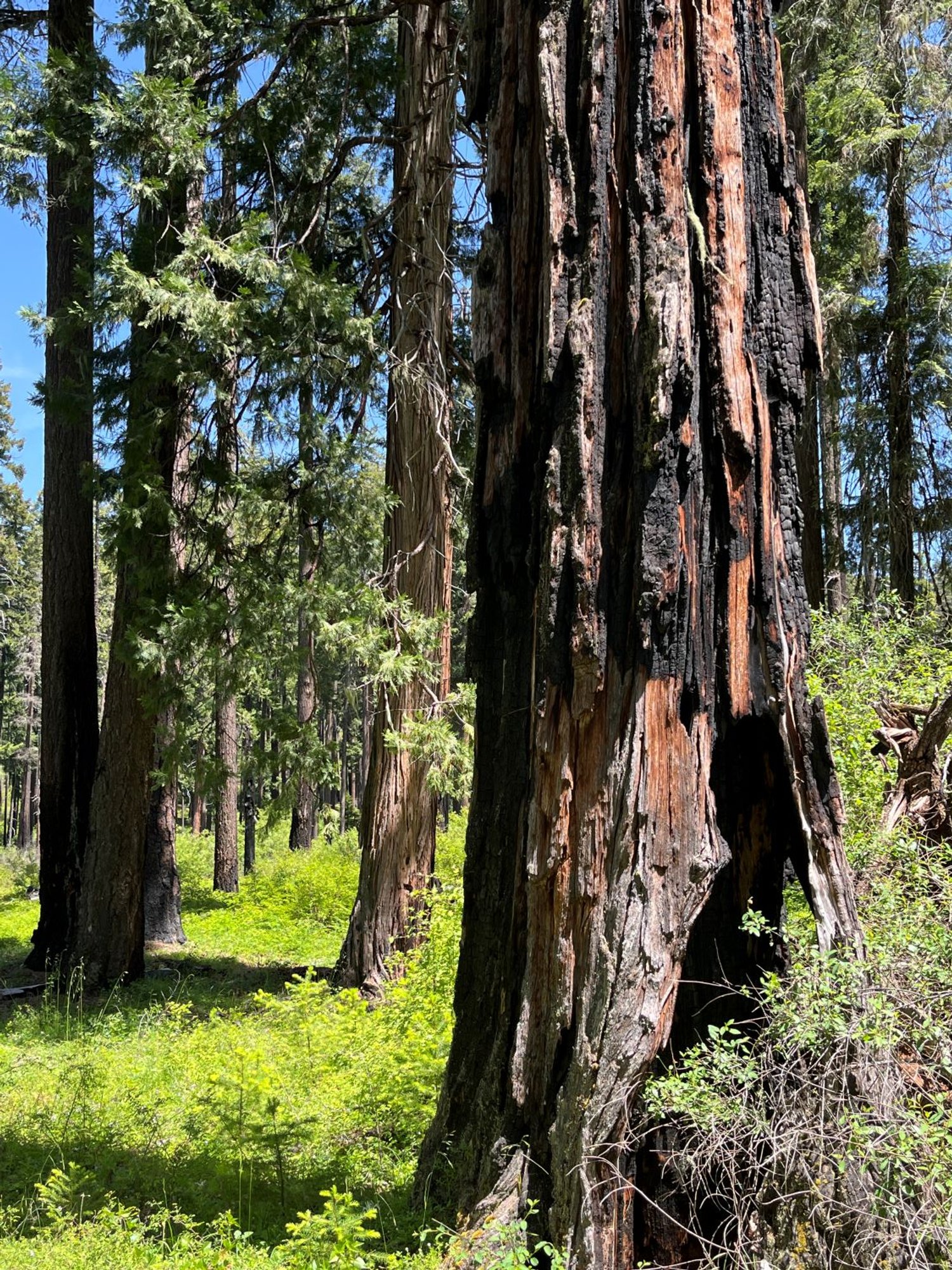
Incense cedar add variety

Rattlesnake Creek, high fire mortality

Multiple fire scars
