2. North Umpqua Waterfalls
Summary
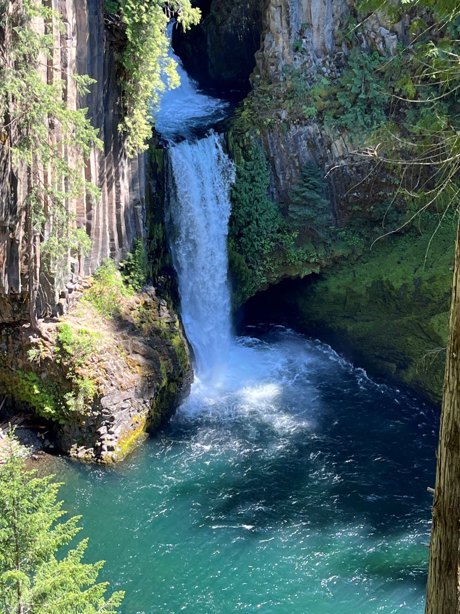
Toketee Falls
Length 0.4 miles one way
Difficulty Easy
Season Early spring to autumn
Elevation range 2,320 – 2,400 feet
Human imprint Very high (hikers)
Information Umpqua National Forest (Diamond Lake Ranger District)
Watson Falls
Length ½ mile loop
Difficulty Easy
Season Early spring to autumn
Elevation range 2,780 – 3,160 feet
Human imprint Very high (hikers)
Information Umpqua National Forest (Diamond Lake Ranger District)
Primary old growth features
Lush lowland old growth
Description
Showy waterfalls plunging over basalt bluffs are among the many charms of the upper North Umpqua River watershed. These two are among the finest, and the path to each pass through splendid old forest. Both are popular and easy hikes, pairing nicely for an easy half-day adventure, especially midweek when the crowds thin.
Toketee Falls
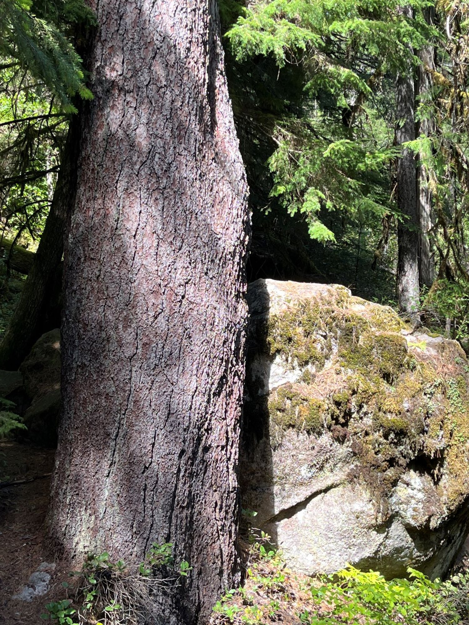
Large Douglas-fir and sugar pine line the well-worn path to Toketee Falls, one of the more unique and picturesque falls in the Oregon Cascades. The largest trees reach almost 5 feet in diameter and half a millennium in age. The trail first ascends and then descends a total of 231 steps to a wood-decked platform overlooking the spectacular falls. The upper falls sits back in a grotto where it empties into a small pool before plunging 80 feet over columnar basalt cliffs into a large pool at the base of the falls.
Watson Falls
Watson Falls drops 272 feet into a huge bowl along the margin of a massive lava flow. Ancient Douglas-fir tower above the trail, some reaching 5 feet in girth. Cross the road and head uphill for a third of a mile or so to reach the apex of the loop on a sturdy wooden bridge and viewing platform. The falls appear as long, wispy veils trailing in the breeze. A short side trail switchbacks uphill to another viewpoint above the base of the falls, and is well worth the extra energy. Return on the opposite side of the cascading stream back to the parking lot below.
30 Years of Change
The forests around Toketee Falls and Watson Falls are little changed, although visitation has grown significantly. Fall Creek Falls was originally included in this set of hikes, but burned severely in the Archie Creek Fire (2020) and no longer supports an old-growth forest.
How to get there
Toketee Falls
Turn north onto Forest Road 34 off the North Umpqua Highway (SR 138) toward Toketee Lake, approximately 59 miles east of Roseburg (42 miles east of Glide). Stay left over the bridge, and take an immediate left onto a gravel road. Park along the road by a leaky river diversion pipe.
Watson Falls
Continue upriver on the North Umpqua Highway (SR 138) past FR 34 for another 2 miles to Fish Creek Road (FR 37; 44 miles east of Glide). Turn right (south) onto FR 37 and park in a large lot on the right.

Toketee Falls

Old Douglas-fir near Toketee Falls

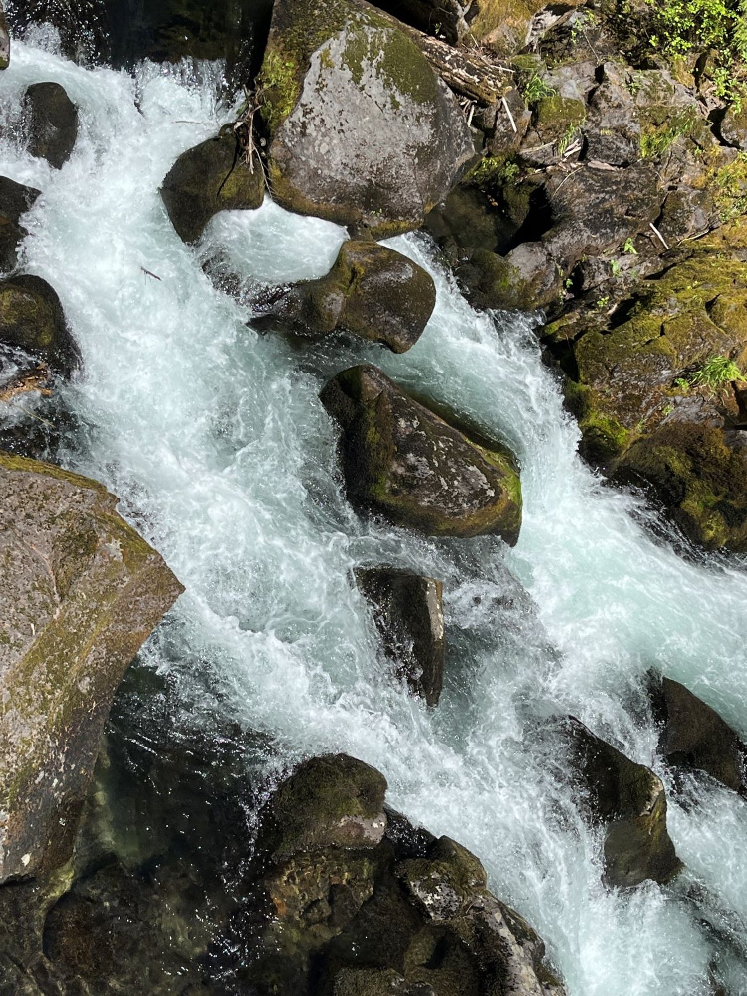
N. Umpqua River above Toketee Falls

Old bug-eyes

Leaky hydropower diversion pipe near Toketee Falls

Watson Falls

Old Douglas-fir along Watson Creek

Watson Creek below falls

