70. North Umpqua River
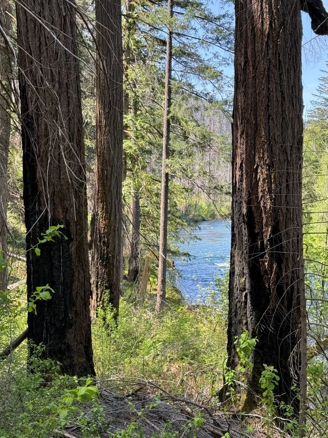
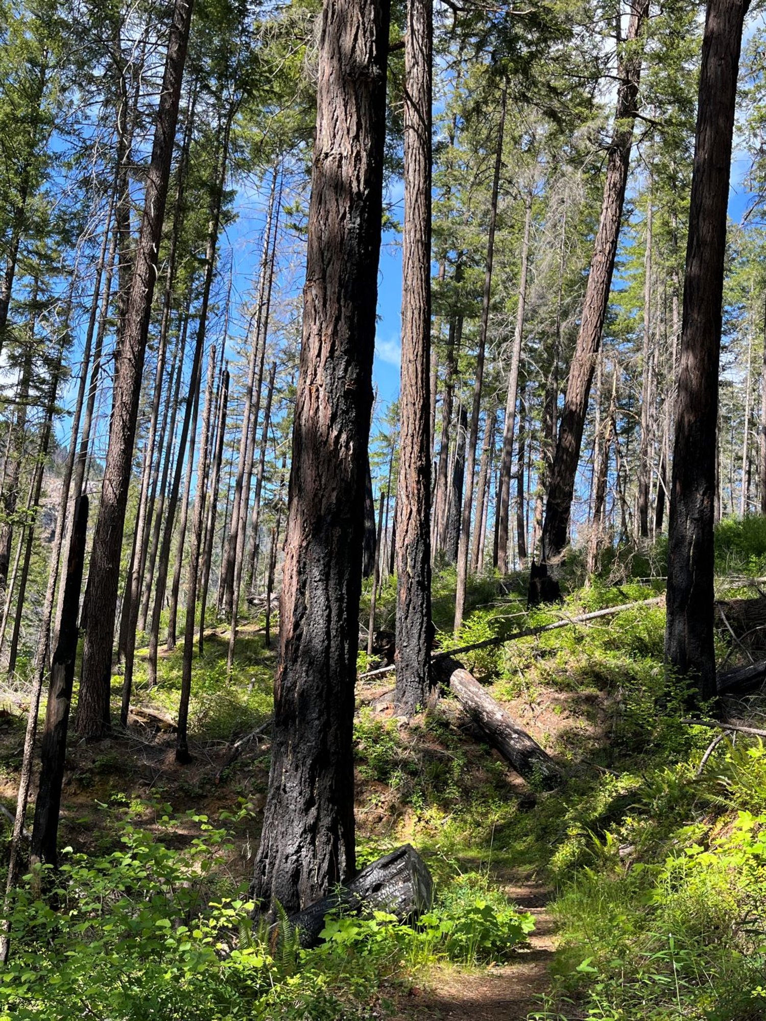
Fire-scorched Douglas-fir along the North Umpqua River
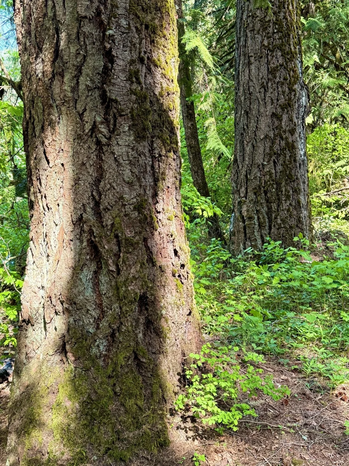
Lightly burned old Douglas-fir
More survivors along lower slope
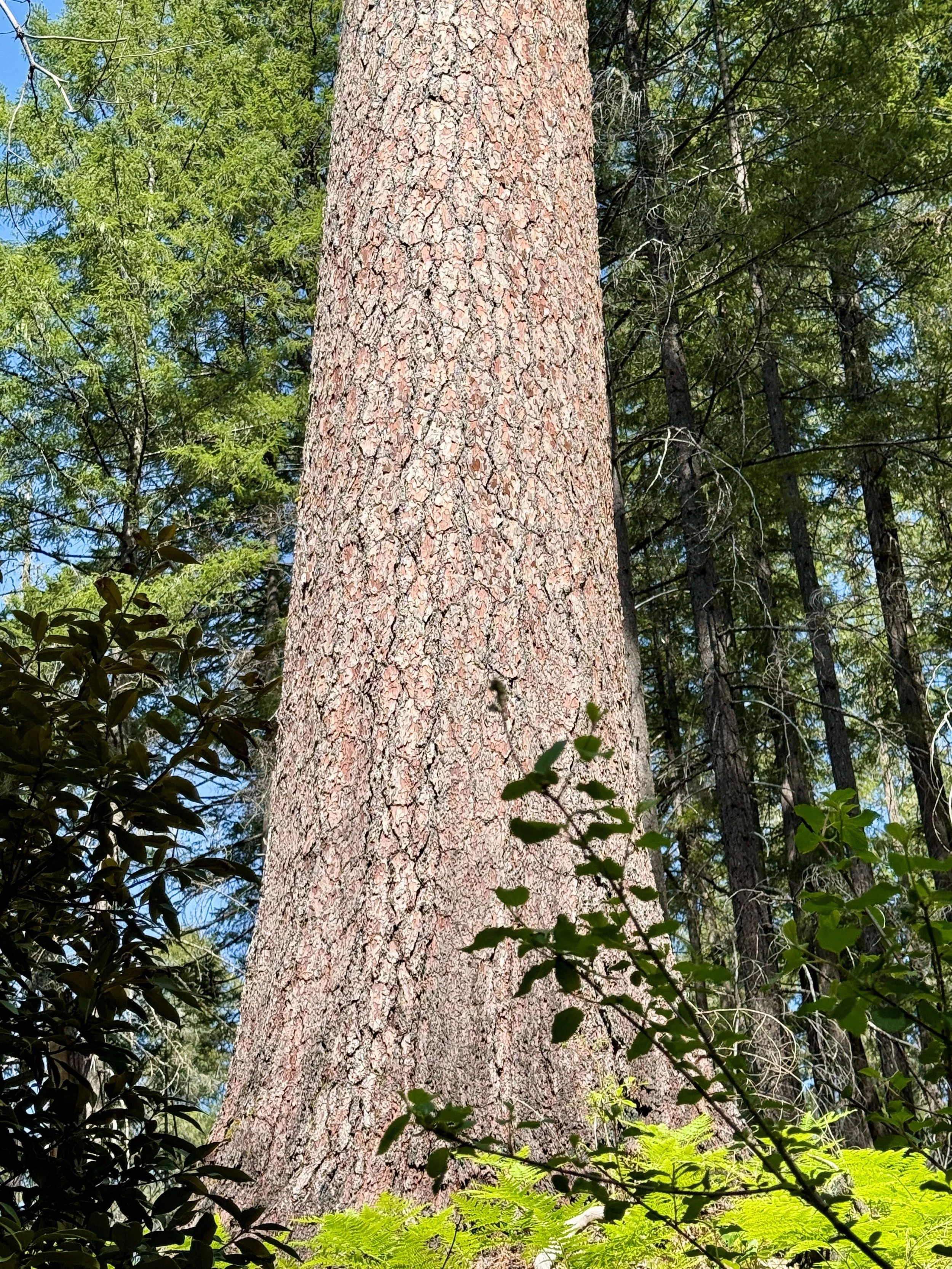
Giant sugar pine
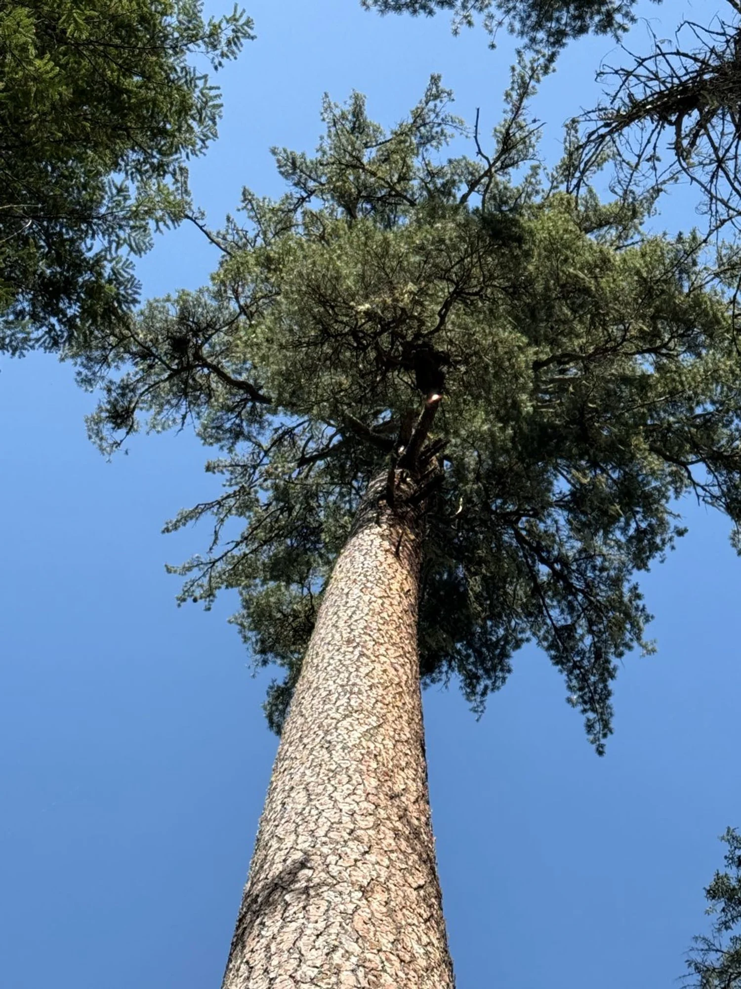
Towering sugar pine
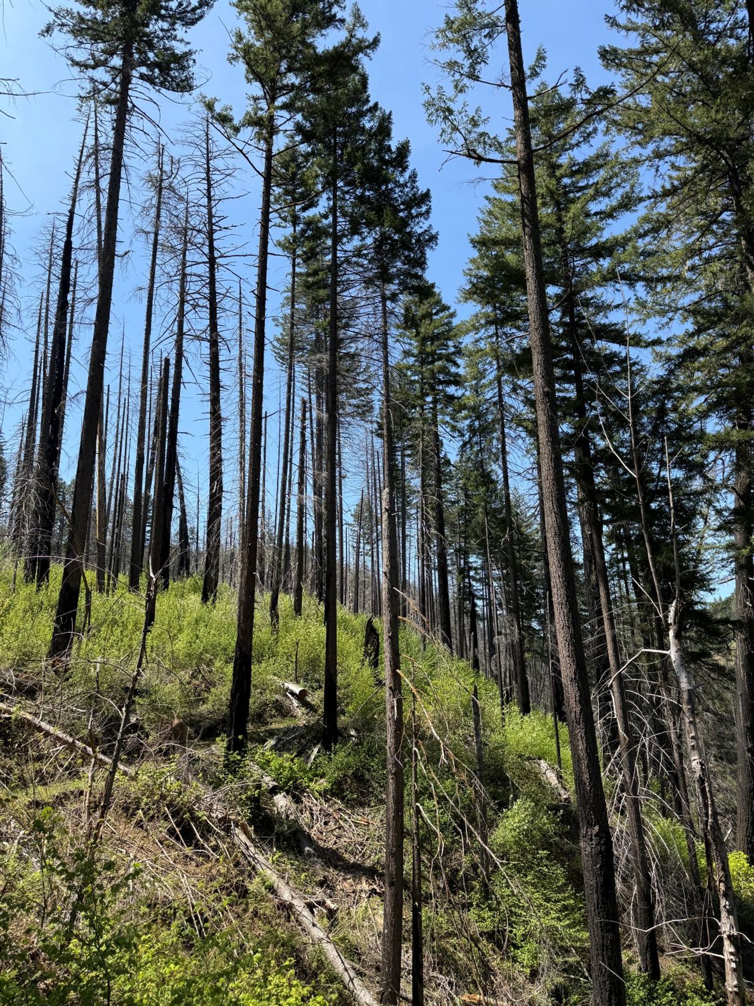
Mixed severity

Formerly old growth (Mott)

Mixed severity (Mott)

Tioga segment