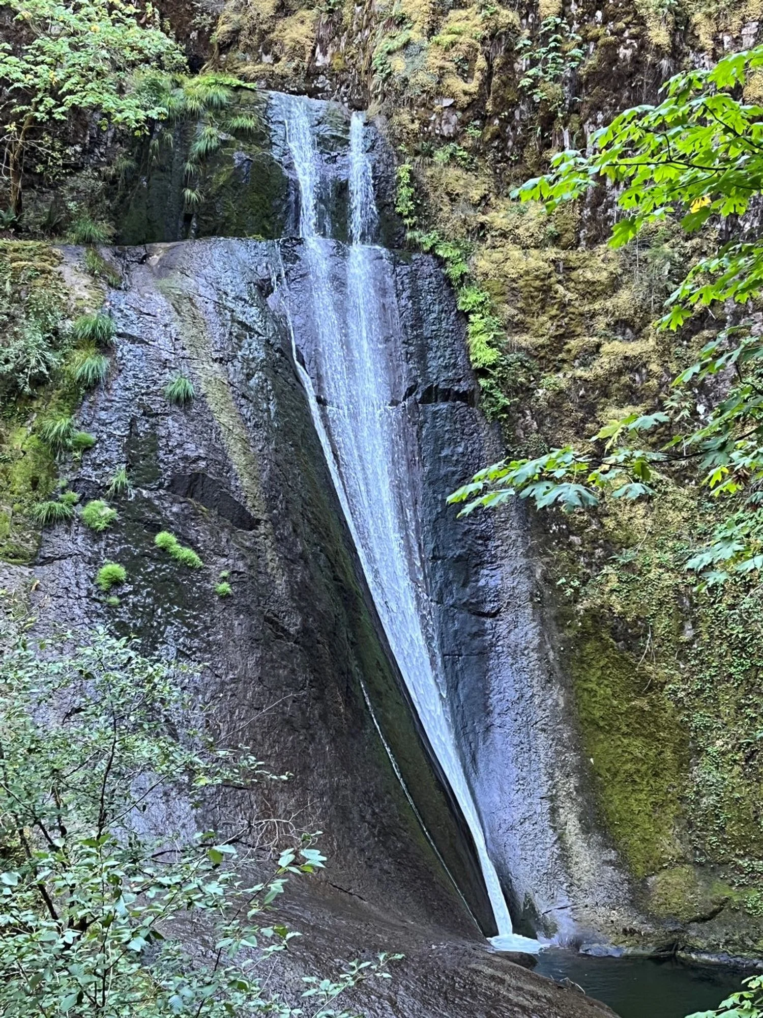
4. Wolf Creek Falls
Summary
Length 1 ¼ miles one way
Difficulty Easy
Season Year round
Elevation range 1,060 – 1,340 feet
Human imprint High (hikers)
Information Bureau of Land Management (Roseburg District)
Primary old growth features
Lowland, riparian old growth.
Description
The gentle path beside Wolf Creek ambles through a marvelous old-growth forest to reach the base of sweeping Wolf Creek Falls. The trail is easily accessible and open throughout the year, except for those infrequent occasions in the South Cascades when substantial snowfall reaches down to 1,000 feet elevation. Old Douglas-fir dominate the wayside, although large western redcedar are also abundant.
From the parking lot, immediately cross a long, arching trail bridge over the bedrock flats of Little River, and then cross a second arched trail bridge over to the west bank of Wolf Creek. The trail then heads due south, hugging the gurgling creek all the way to the falls. Several short side-paths lead hikers to the stream for ideal picnic spots.
Large Douglas-fir are abundant in this rich, riparian environment, joined by occasional old western redcedar. Scorched bark along the base of many old trees clearly indicates the passage of a surface fire since stand establishment. Moss-draped bigleaf maples provide color, texture and biological diversity to the streamside trail.
The trail dead-ends after 1 ¼ miles at the base of enchanting Wolf Creek Falls. The setting is dramatic in any season as the falls slide over a cliff face curving gracefully as it falls 75 feet toward a pool at the base of the falls. A second falls drains the pool dropping another 30 feet as Wolf Creek accelerates toward Little River. Both falls are surrounded by tall basalt cliffs rimming this little forest oasis. Enjoy the view and return as you came.
30 years of change
Very little change.
How to get there
From the North Umpqua Highway (Highway 138), head south on the Little River Road just west of Glide, approximately 18 miles east of Roseburg. Follow the paved road approximately 10 ¾ miles and pull into a signed parking area by the footbridge on the right. Additional parking is available across the road.
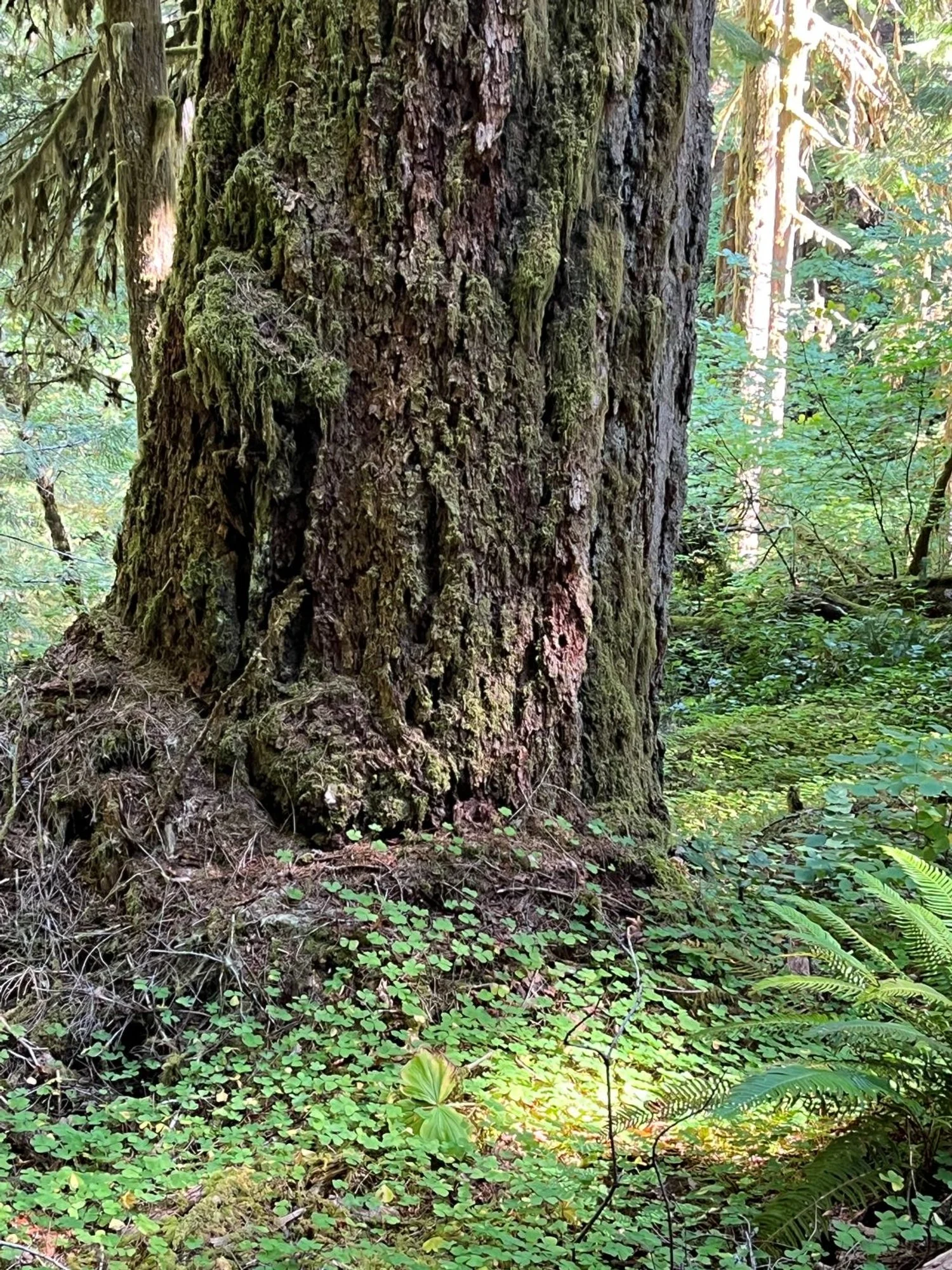
Douglas-fir on a floodplain terrace
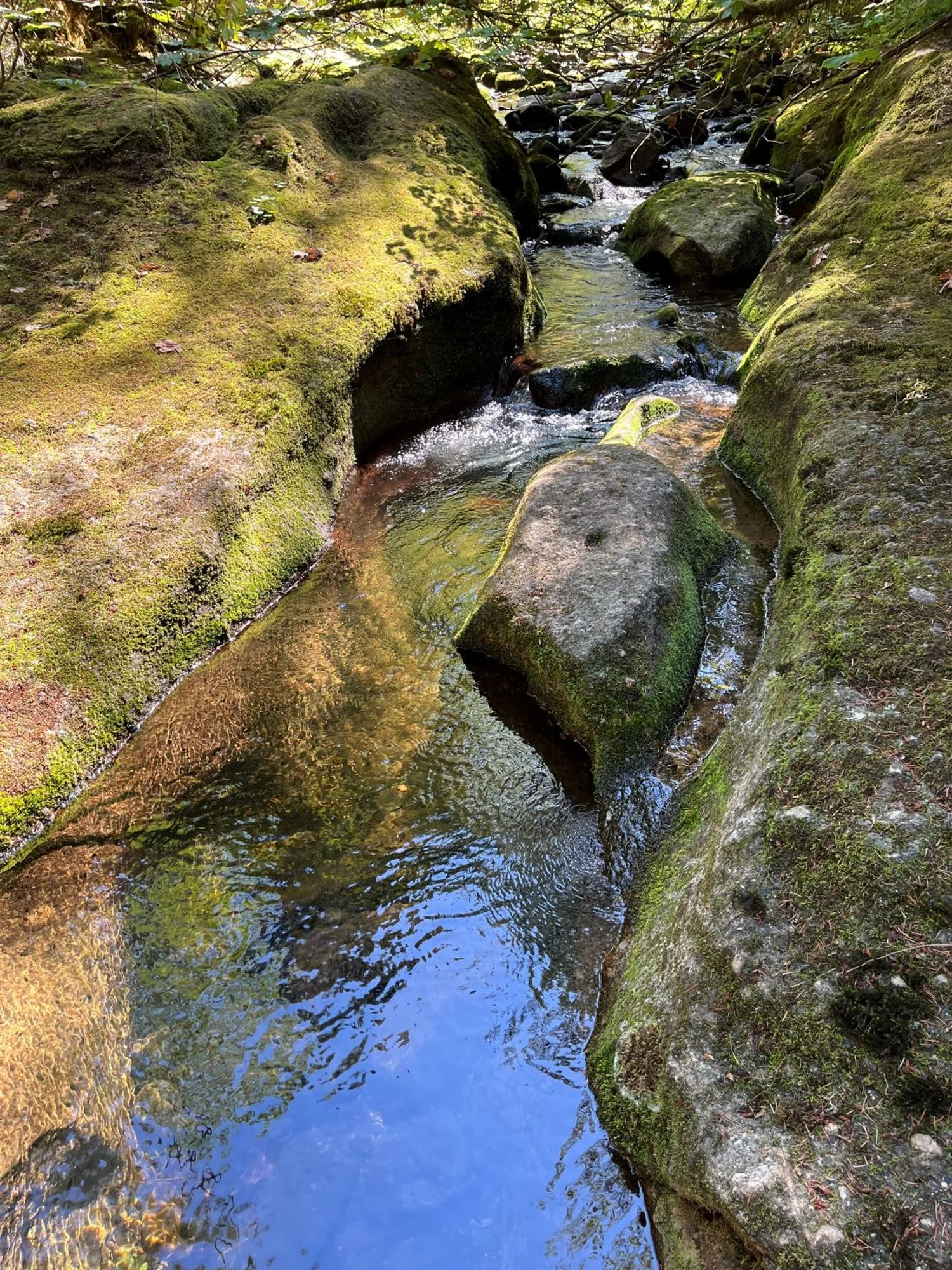
Wolf creek
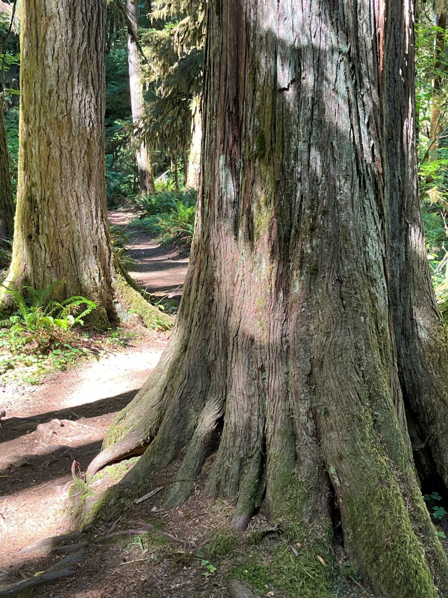
Western redcedar hug the trail

Ancient, fire-scorched Douglas-fir
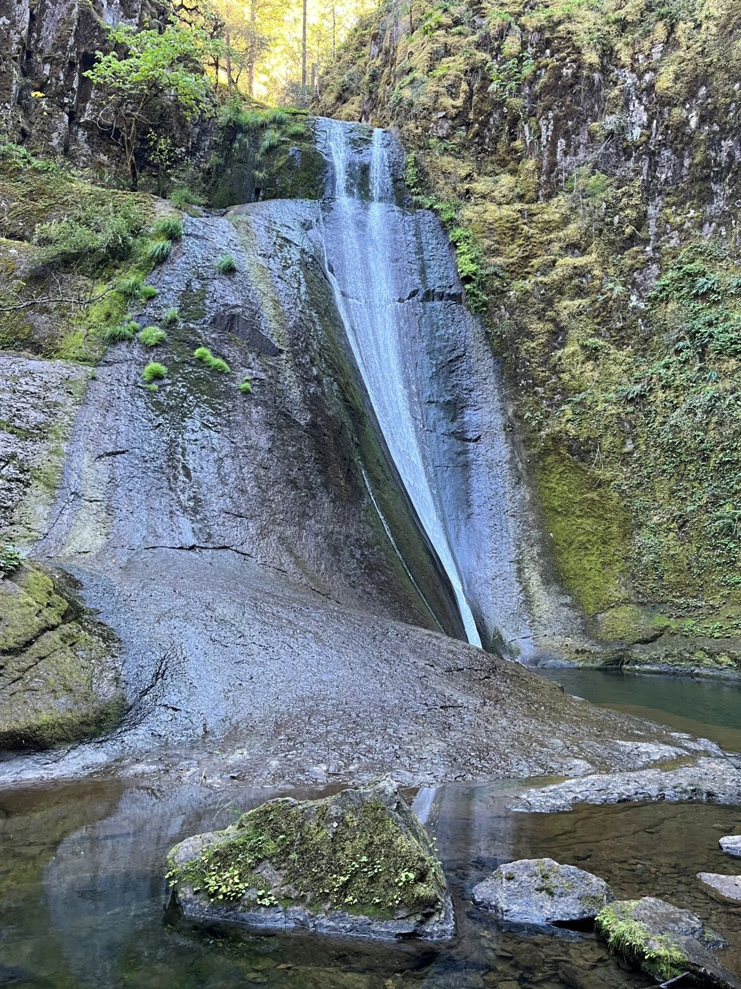
Wolf Creek Falls
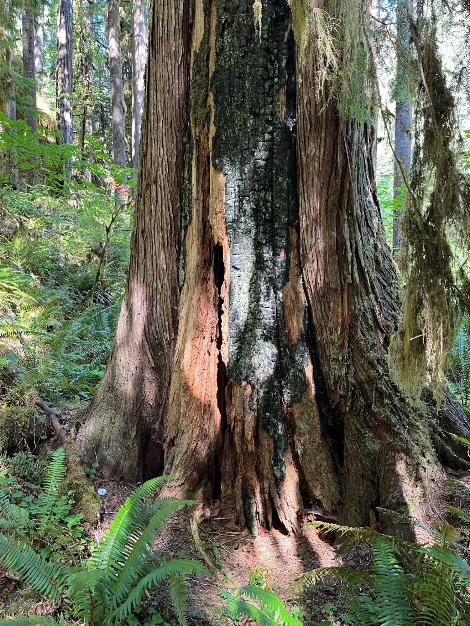
Fire-decorated redcedar
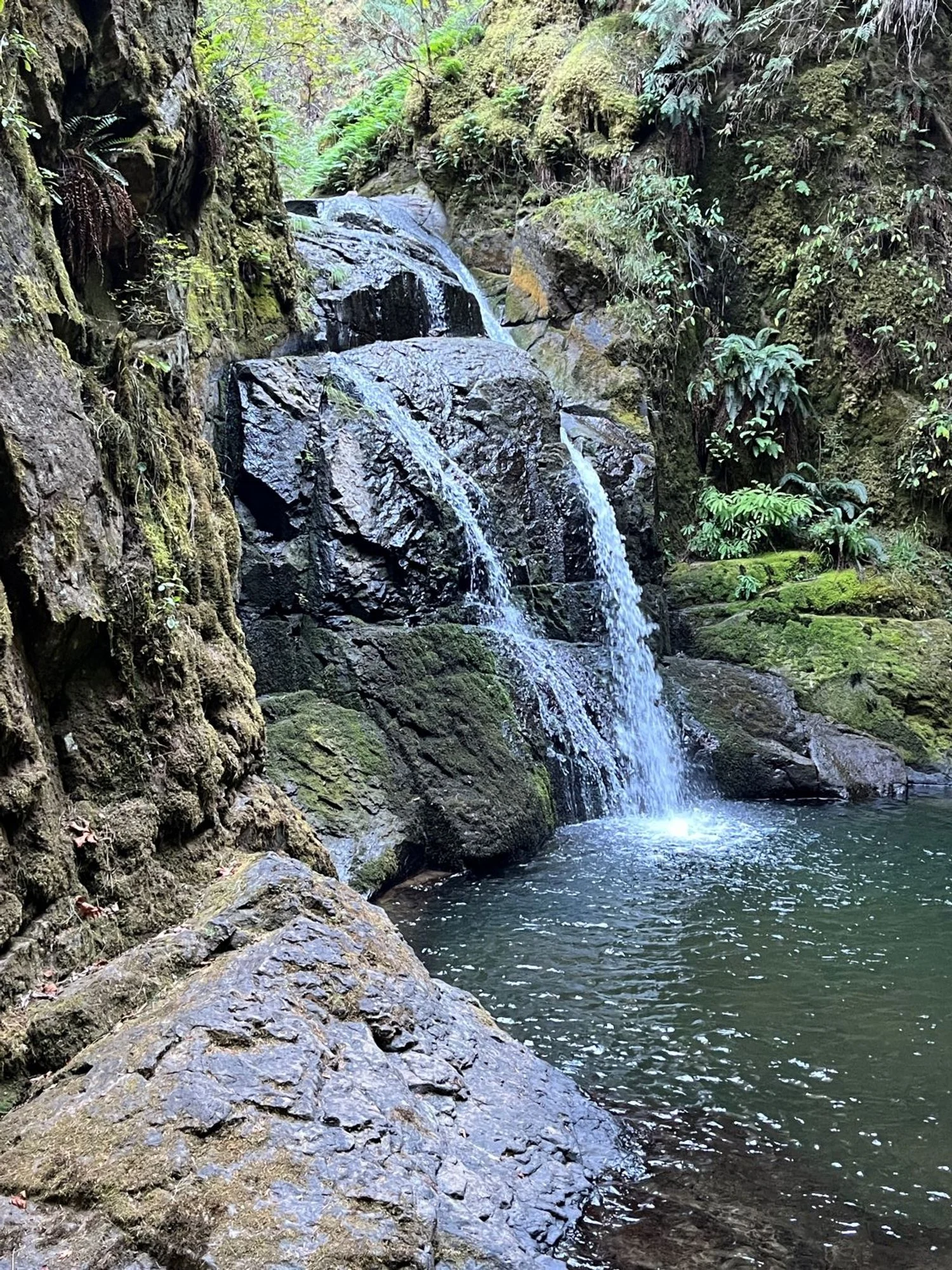
Lower Wolf Creek Falls
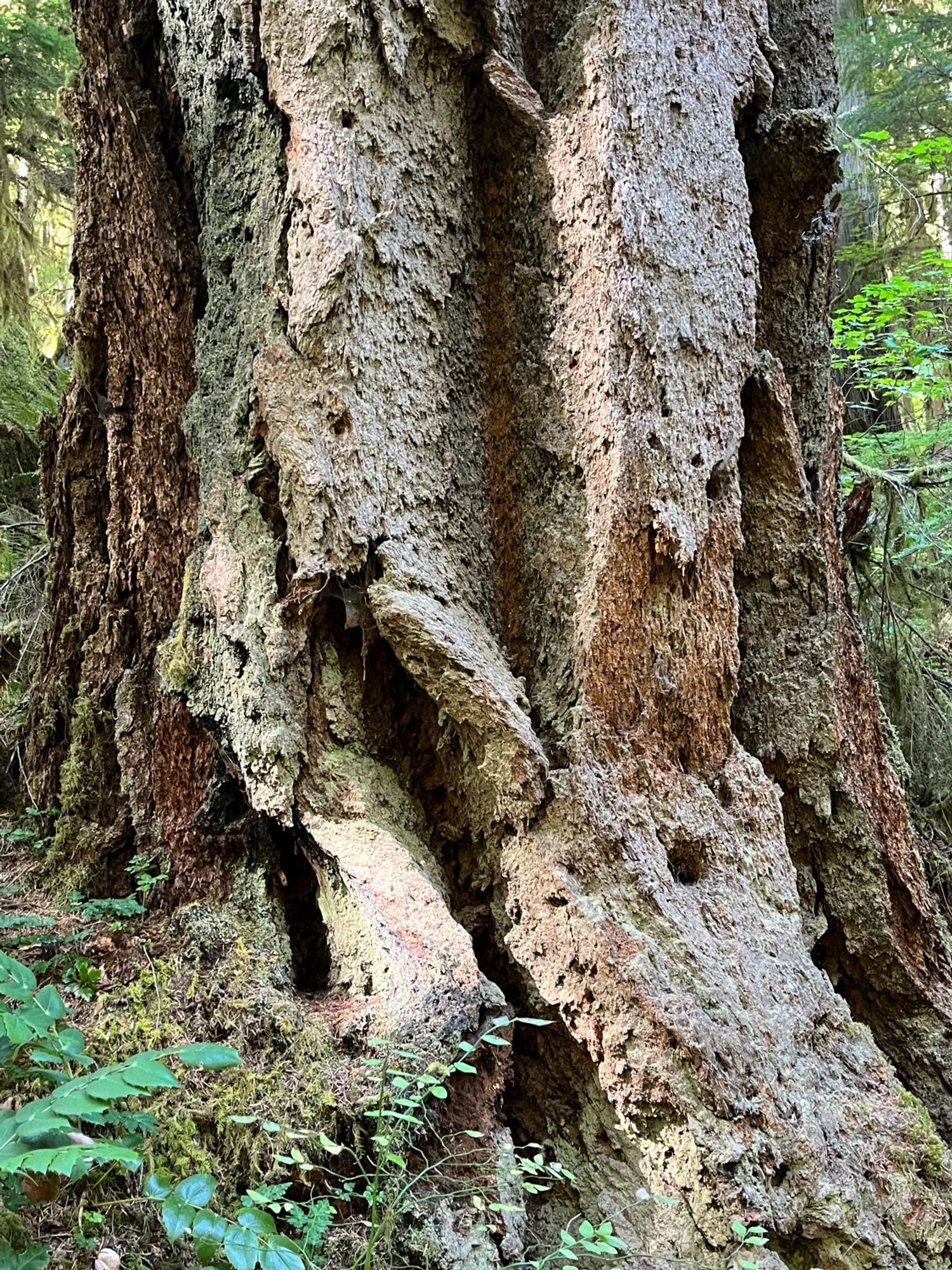
Thick-barked giant

Ancient Douglas-fir
