5. Emile Big Trees
Summary
Length Two segments, each ¼ mile one way
Difficulty Very easy
Season Summer to autumn
Elevation range 3,950 – 4,350 feet
Human imprint High (roads and plantations nearby)
Information Umpqua National Forest (North Umpqua Ranger District)
Primary old growth features
Exceptionally large Douglas-fir trees.
Description
Several extraordinary Douglas-fir stand in the upper reaches of Emile Creek, a tributary to Little River, including an amazing giant with the second largest diameter in Oregon. Although this is more of a pilgrimage than a hike, two short and easy trails access neighboring groves of spectacular behemoths. Both groves border wetlands along Emile Creek, likely contributing both to their productivity and protection from fire. Both groves are also quite small and occur in a fragmented matrix of older plantations and leave blocks.
The first grove (Hike 5A) holds a half dozen enormous Douglas-fir clustered at the end of the trail, including one a little over 9’ in diameter (111”) and another at 10’ thick. The slightly slimmer tree reaches a bit taller and is called the Bill Taft Tree. An old, out-of-date sign by the Bill Taft Tree details various measurements of the tree, including the amount of board feet. While the trail visits a very small area, this cluster of colossal veterans is quite unusual and well worth a visit.
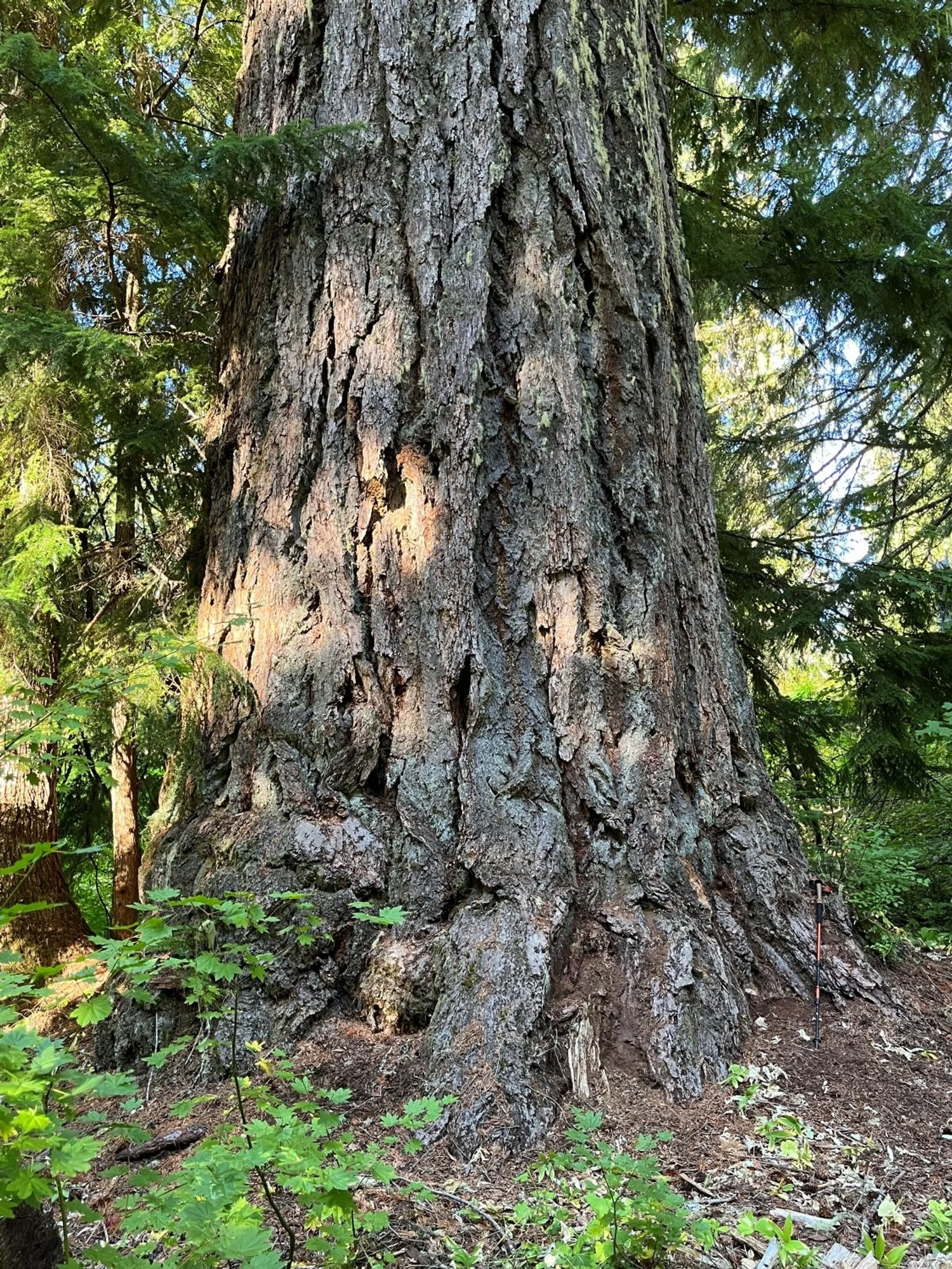
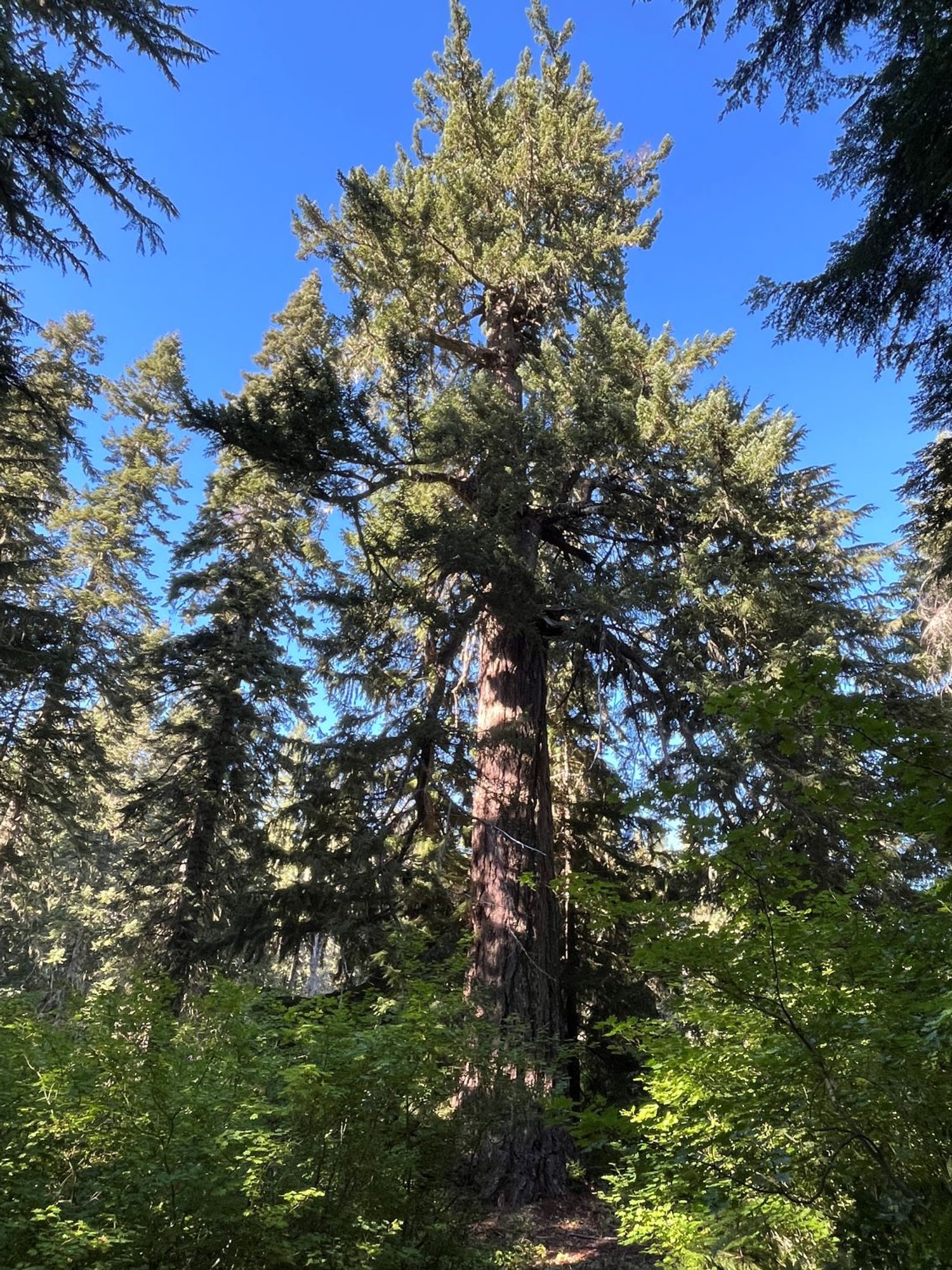
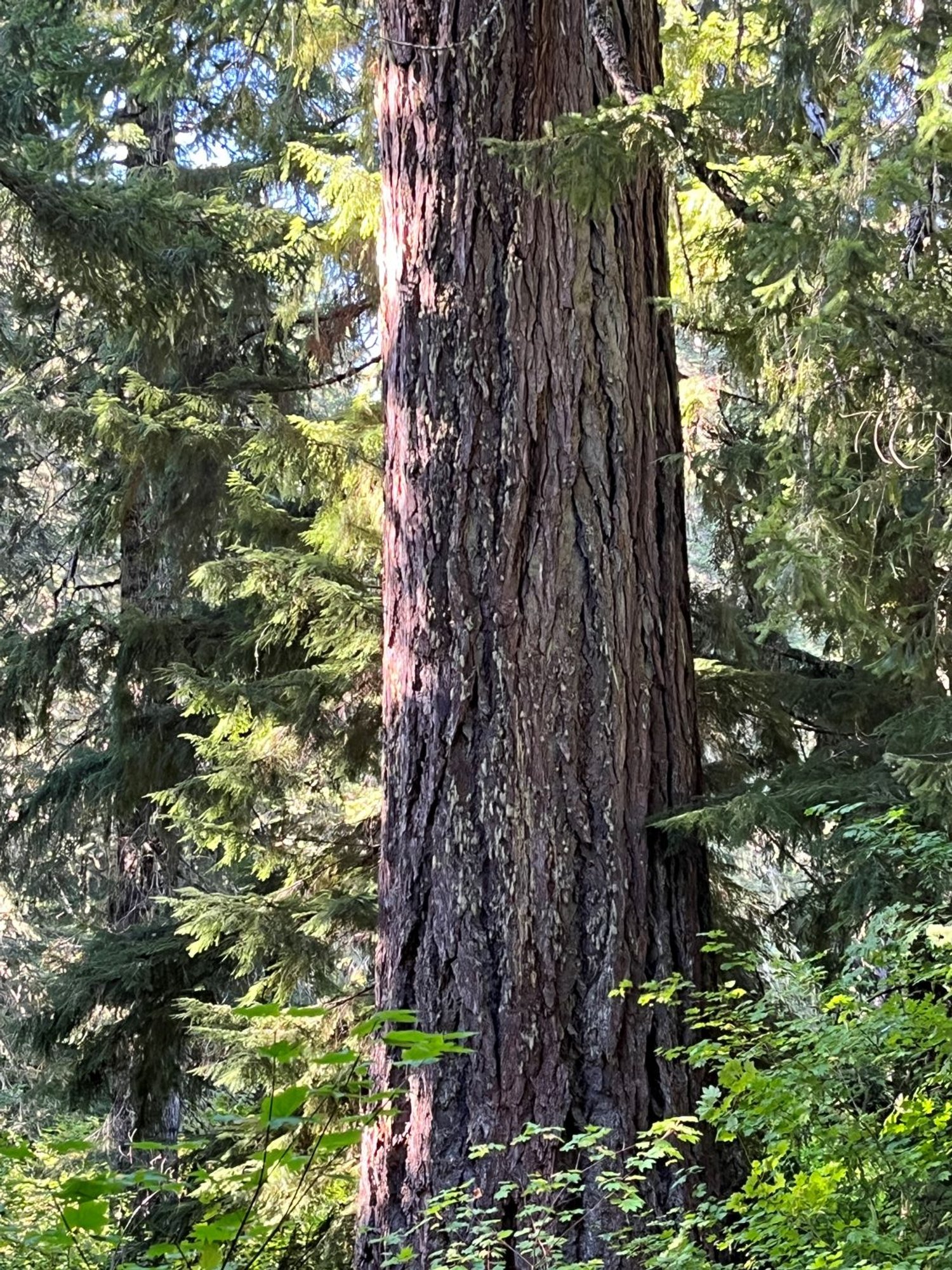
The second grove (Hike 5B) stands close to the Emile Shelter and is in some ways even more spectacular. A short trail leads downhill to the Emile Shelter Big Tree, an astonishing 12 ½ feet in diameter. Only one other Douglas-fir in Oregon is known to have a larger diameter. The massive tree has new, competing leaders from a broken top above a tangled and swirling canopy of gnarly, stubby branches. The impressive stand surrounding the big tree has the appearance and feel of a very old stand with huge trees; lots of big western hemlock; and an immense amount of large, dead wood.
30 years of change
Very little change.
How to get there
From the North Umpqua Highway (Highway 138), head south on the Little River Road just west of Glide, approximately 18 miles east of Roseburg. Turn left (north) onto the Lookout Mountain Road (FR 2703) directly across from Coolwater Campground approximately 16 ¼ miles from the North Umpqua Highway.
To reach Hike 5A, follow FR 2703 a little over 7 ¼ miles from the Little River Road and turn left onto FR 4711. Stay left at a junction a little over a quarter mile later and park at the trail sign a tenth of a mile later. The trail is on the left.
To reach Hike 5B, follow FR 2703 approximately 8 ¾ miles from the Little River Road and turn right onto unsigned FR 450 immediately past Emile Shelter. Stay left at a junction a quarter mile later, and park at a wide spot near the trail sign in about 2/3 of a mile. The trail is on the left.

Emile Shelter Big Tree
Emile Shelter Big Tree
It's really big
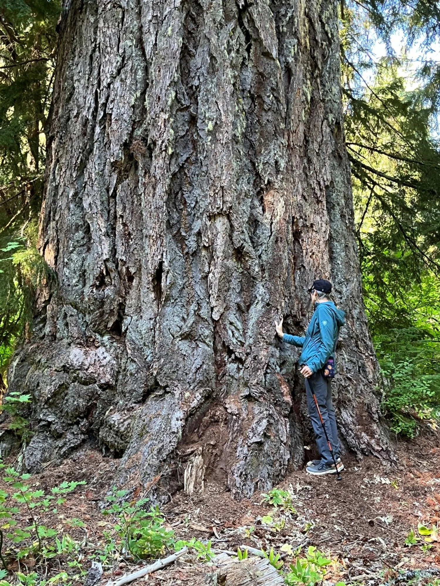
12.5 feet thick
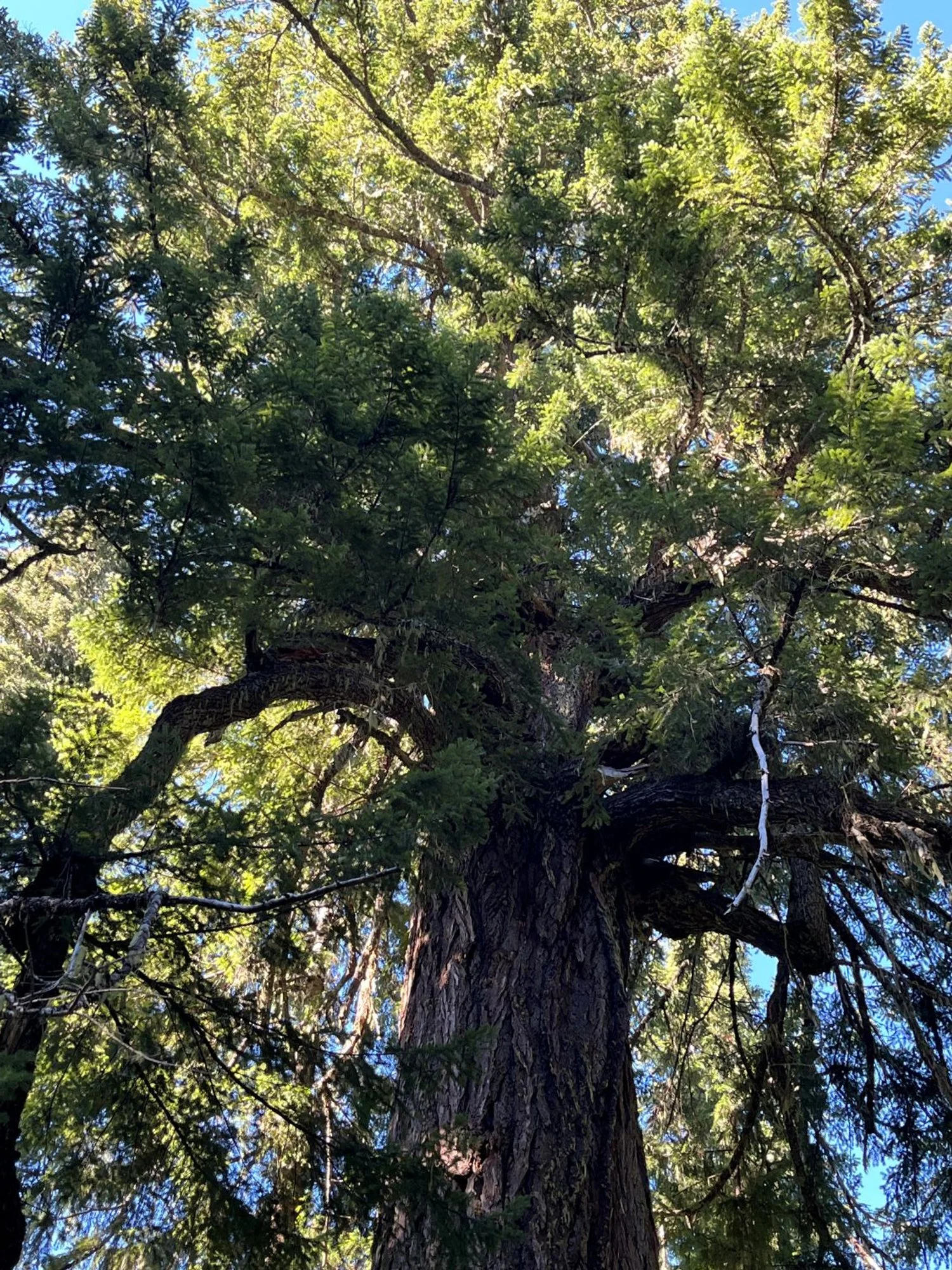
Broken, gnarly, swirly crown
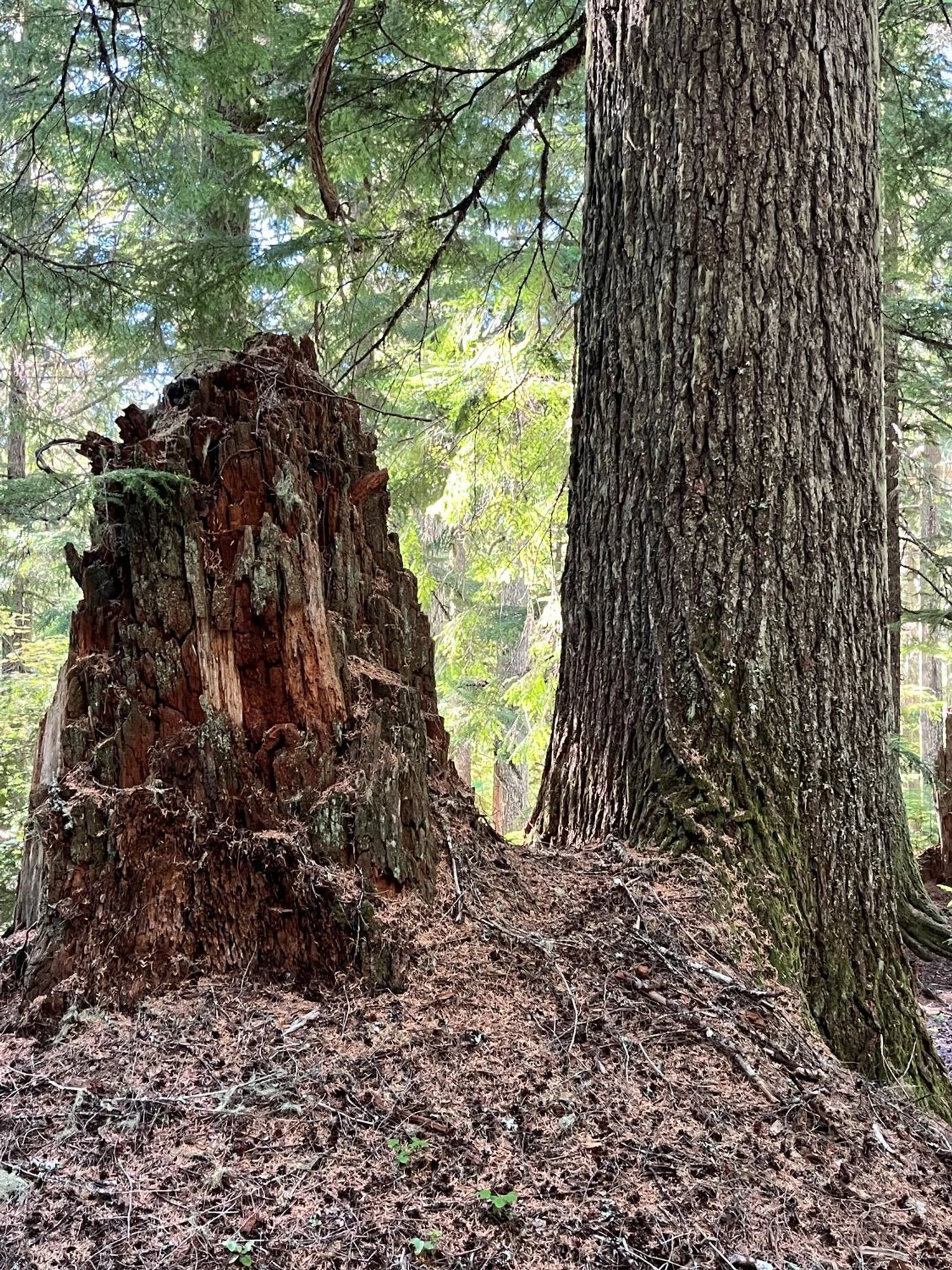
Old western hemlock too
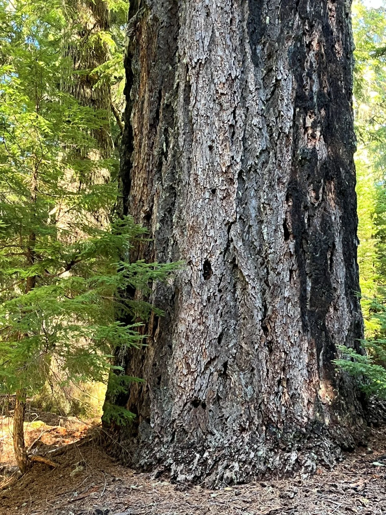
Fire-scorched Douglas-fir
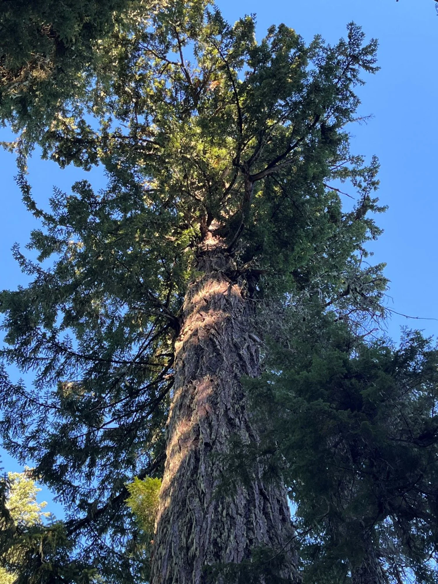
Bill Taft Tree
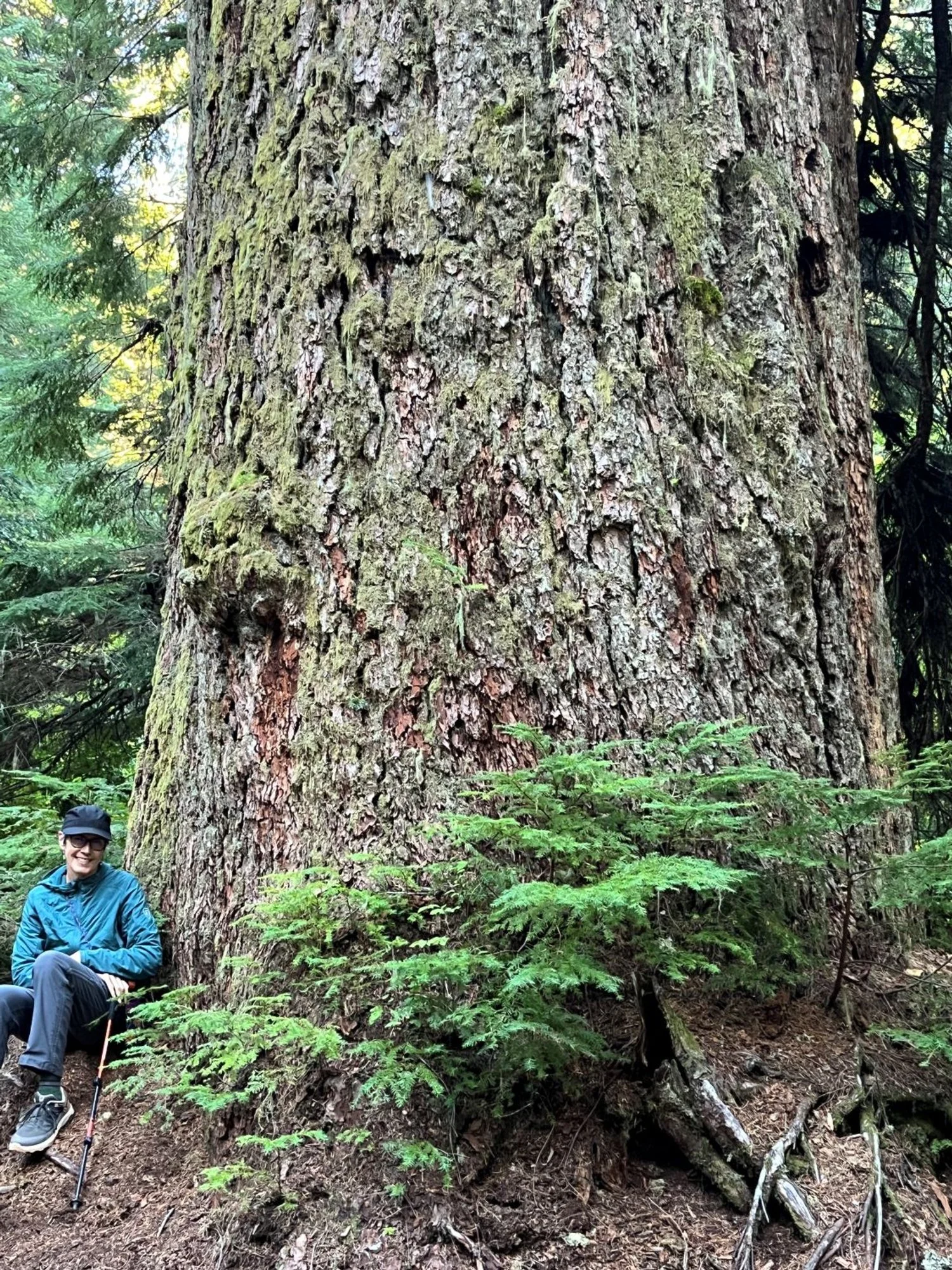
Almost 10 feet thick
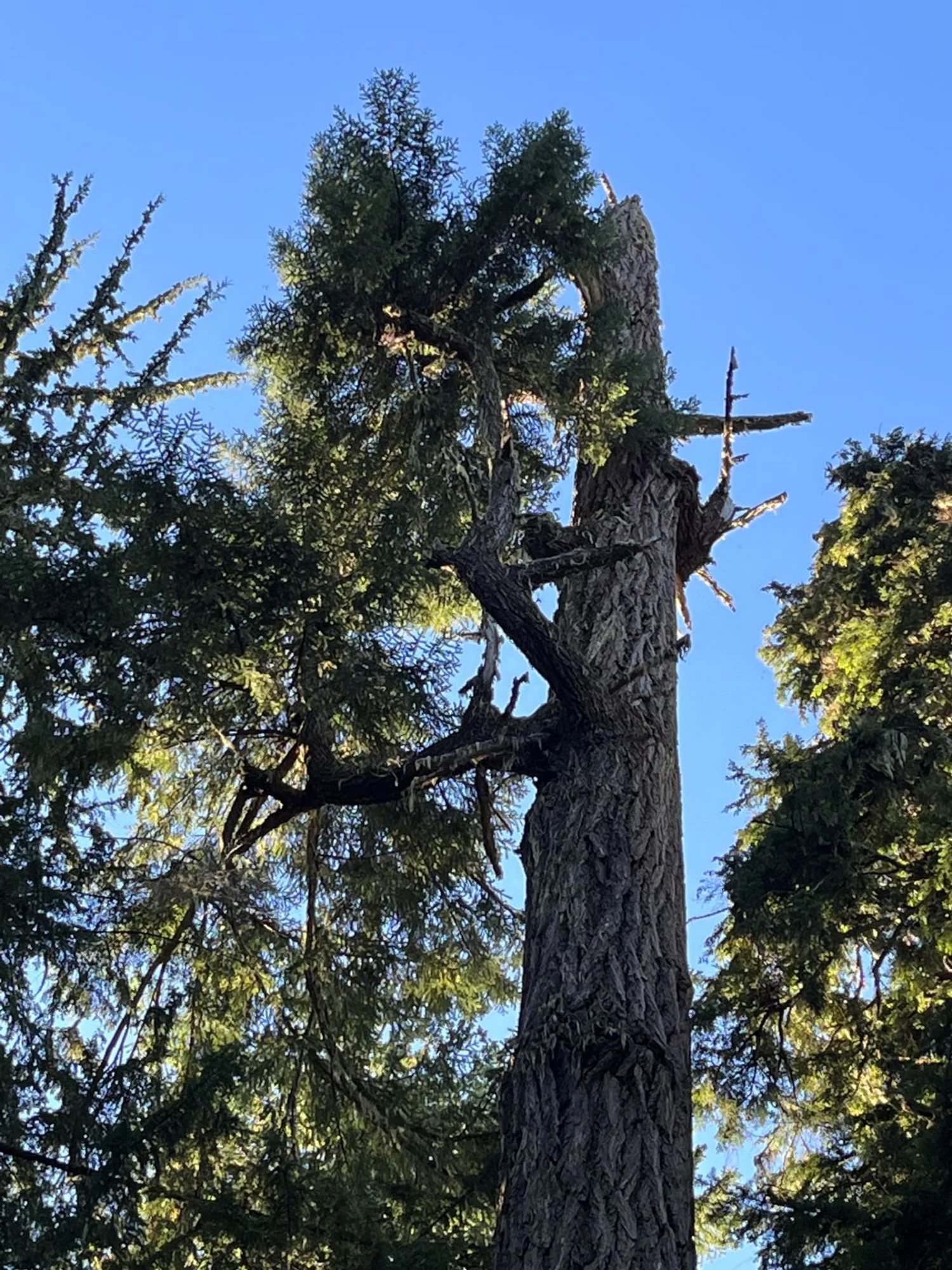
Broekn-top veteran
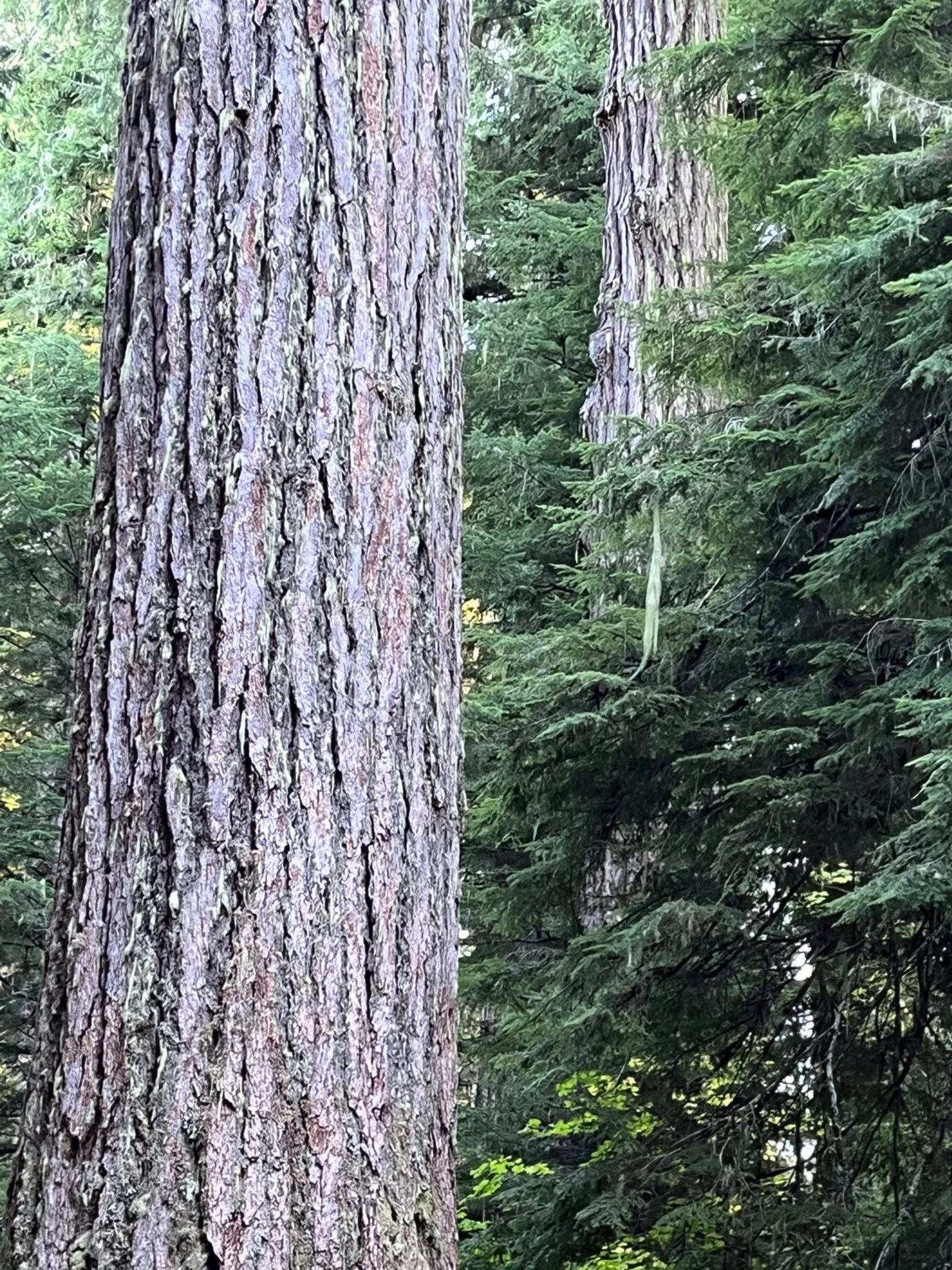
Giants all around
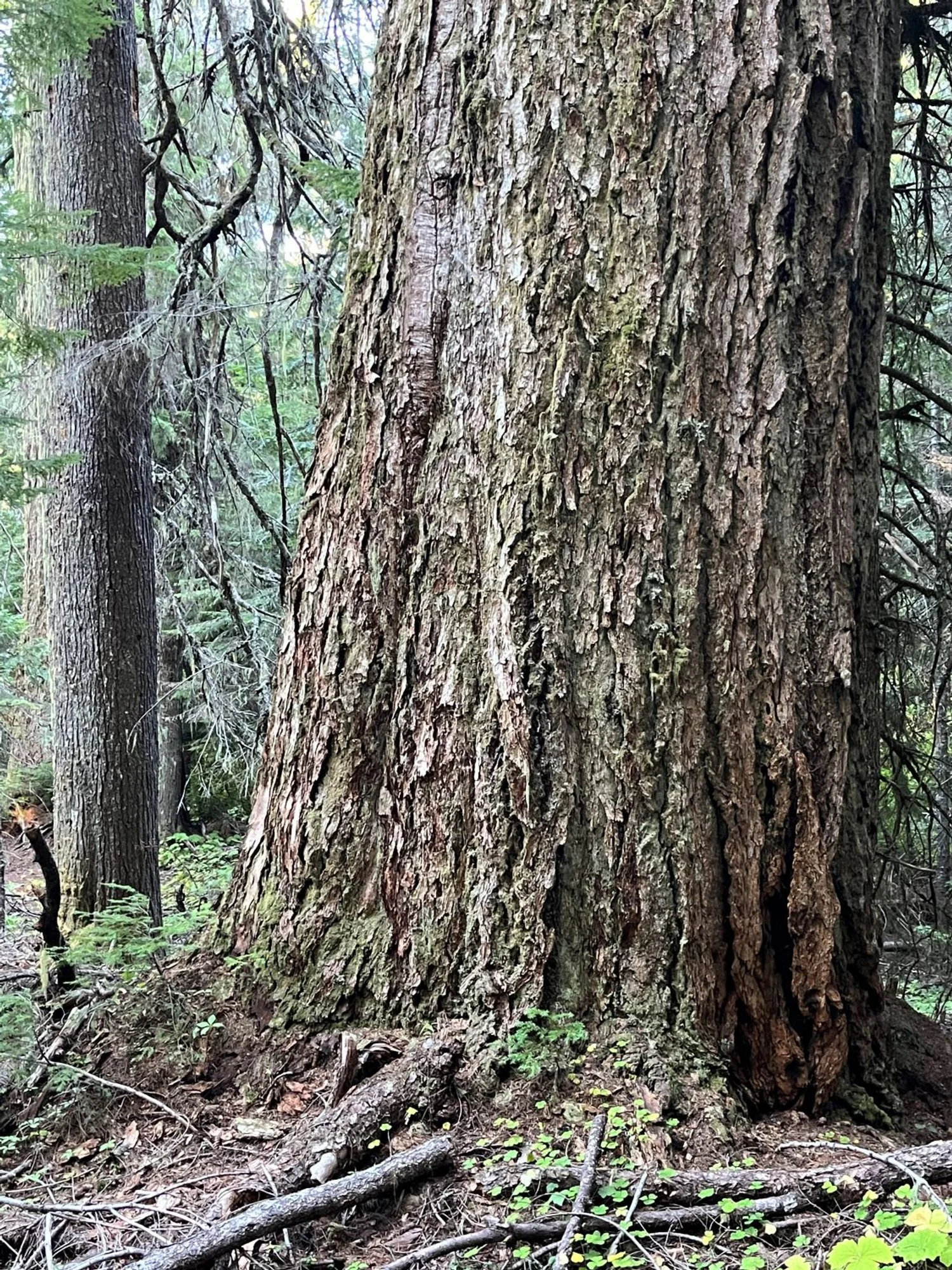
Just another 8' Douglas-fir
