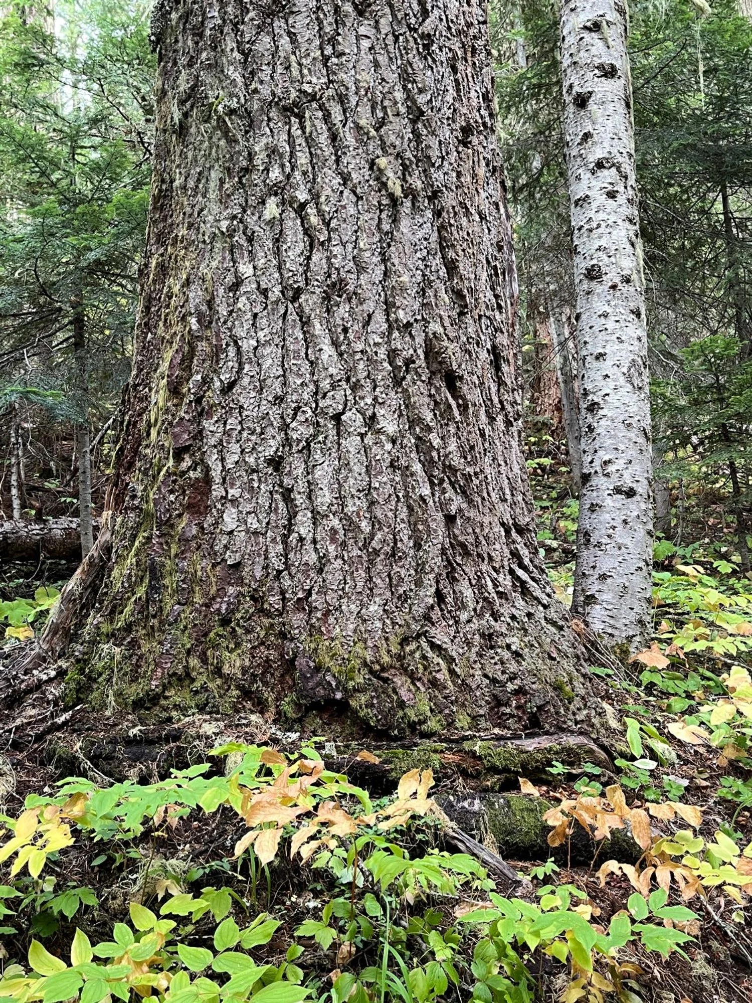
6. Yellow Jacket Loop
Summary
Length 5 ½ mile loop
Difficulty Moderate
Season Summer to autumn
Elevation range 4,460 - 5,260 feet
Human imprint Moderate (nearby plantations and roads; motorbikes)
Information Umpqua National Forest (North Umpqua Ranger District)
Primary old growth features
Mixed Douglas-fir and Shasta red fir old growth; a few giant Douglas-fir veterans.
Description
The Yellow Jacket Loop Trail accesses an extensive and attractive stand of Douglas-fir and Shasta red fir old growth above Hemlock Lake east of Roseburg. The loop traces a triangular route from the lake up to, along, and back from the ridge dividing the North Umpqua watershed from the South Umpqua watershed. The forest is dotted with interspersed montane meadows, and perforated by two north-protruding tongues of the Smith Fire (2021). The fire burned over sections of the higher-elevation forest along the loop adding diversity to the hike while killing most of the older trees in much of the burned area. Hikers should note that the trail is open to motorized two-wheel vehicles, although the trail is little used on weekdays.
Follow the trail beside the trailhead map board for 50' or so where it connects to the main loop. Turn right onto the Yellow Jacket Loop Trail (1522) to follow the loop counter-clockwise. The prime directive for the loop is stay to the left at all trail junctions.
The trail soon enters the first of many flower-filled meadows. Stay left at the junction with the Hemlock Creek Trail (1505), cross the meadow, and commence a moderate climb southwest towards a saddle southeast of Flat Rock. The forest along the first mile or so of the trail contains large Douglas-firs and grand firs, mostly ranging from 200-350 years old. Shasta red fir and Pacific silver fir become abundant as the trail gains elevation, and occasional gnarly, old Douglas-firs are scattered among the forest canopy.
Shortly after the junction with the Flat Rock Trail (1526) about 1 ¼ miles from the trailhead, the trail enters the northern margin of the Smith Fire and continues inside the fire footprint for most of the next mile. The effects of the fire vary from quite positive to quite negative depending on your perspective. While tree mortality along the edges of the meadows will likely help maintain and perhaps expand the meadows, most of the old trees were also killed in large areas of the fire. High mortality from surface fire, due in part to root and root collar damage, is common in forests such as this that are dominated by thin-barked firs. Woodpeckers love the snag patches, however, and were busy drumming and drilling while we were there.
The trail curves to the southeast, passes the Cavitt Mountain Tie Trail (1522 E), and enters an expansive opening with sweeping views from Mount Bailey to Mount McLoughlin. The South Umpqua drainage lies directly to the south where parts of the Smith Fire and the Rogue-Umpqua Divide Wilderness are visible. From here the trail reenters the forest and follows the ridgeline east for the next couple miles. Trailside conditions alternate between Shasta red fir old growth, older plantations, and additional sections of the Smith Fire. Stay left where short trail spurs split off to the right towards a nearby forest road.
After nearly two miles along the ridge, the trail bends left and heads downhill on a northwest tack towards Hemlock Lake. A beautiful stretch of large Shasta red fir and Douglas-fir stand along the trail running parallel with adjacent Hemlock Creek. Stay left at the junction with the Snowbird Shelter Trail (1517), and then left one more time at the junction with the Hemlock Lake Loop Trail (1522 A). Cross a trail bridge and curve around Hemlock Lake back to the trailhead re-entering old forest for the last third of a mile.
30 years of change
Major change in the areas burned by the Smith Fire (2021), which burned severely in many spots. The unburned old forest has grown larger and accumulated more dead wood.
How to get there
From the North Umpqua Highway (Highway 138), head south on the Little River Road just west of Glide (approximately 18 miles east of Roseburg.) Follow the Little River Road, which turns to FR 27, for a little over 30 ½ miles. The first 19 ¼ miles are paved; the last 11 ¼ miles are gravel surface. There are a few junctions, but stay on the main road towards Hemlock Lake. Turn right onto FR 495 towards Hemlock Lake off of FR 27 approximately 30 ½ miles from the North Umpqua Highway. Note that this junction is often unsigned. If you find yourself at the Hemlock Lake boat launch, turn around and go back a half mile and turn left towards Hemlock Lake. Cross the Hemlock Lake dam after a half mile and park in a signed area to the left shortly thereafter.
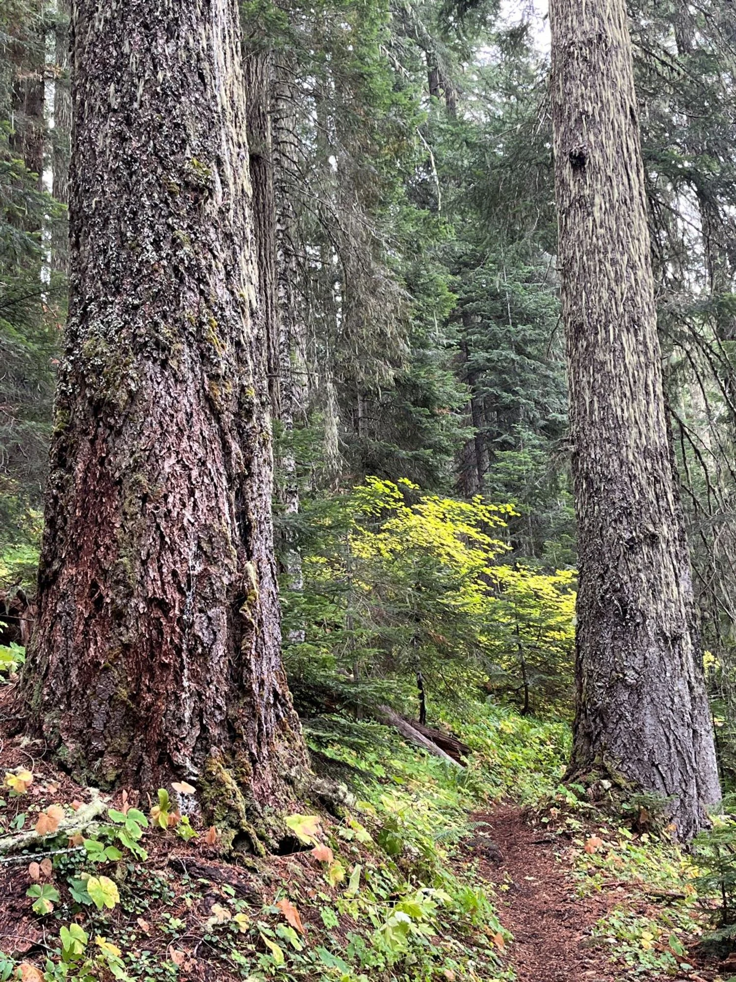
Douglas-fir old growth
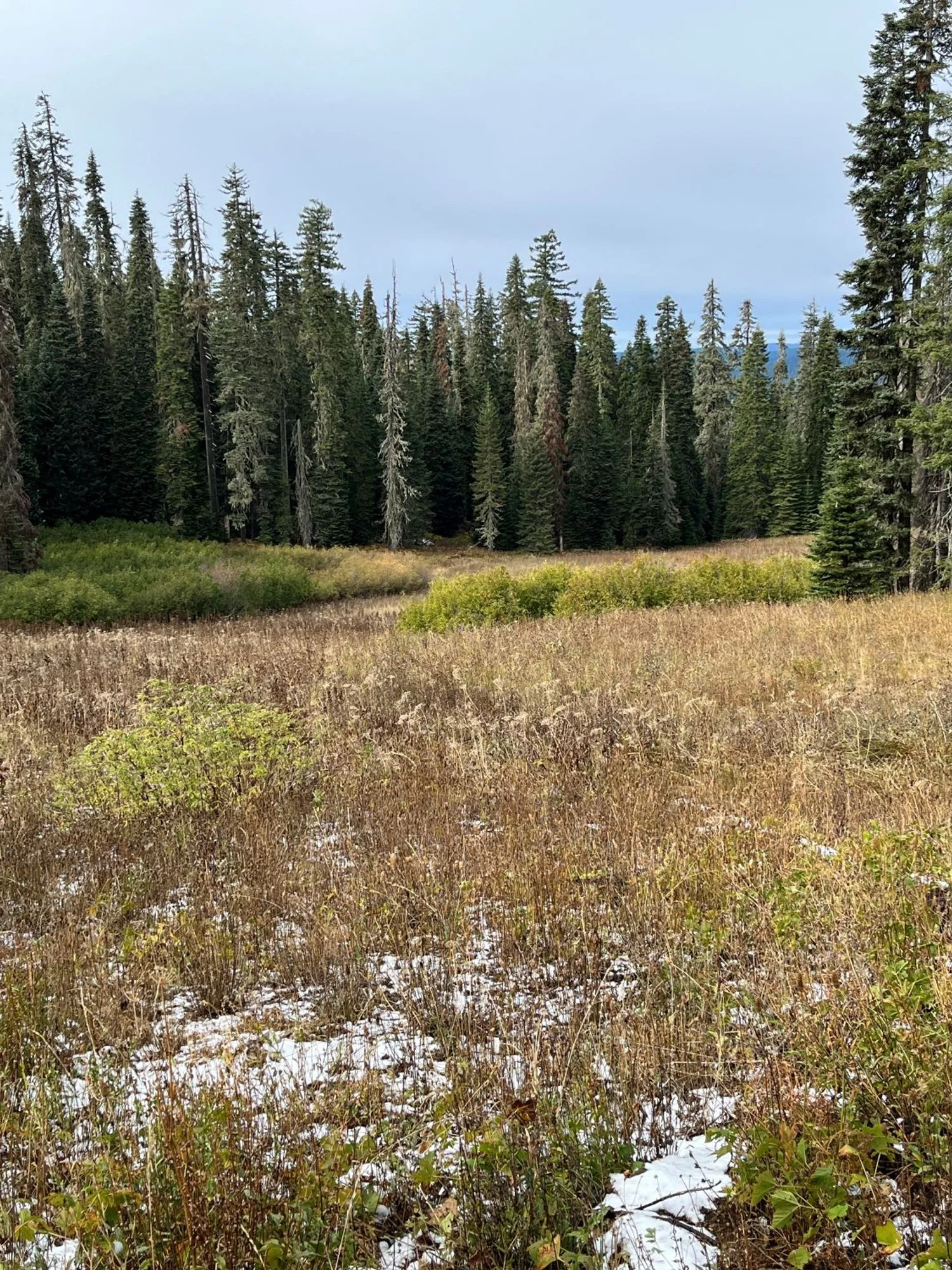
Interspersed meadows
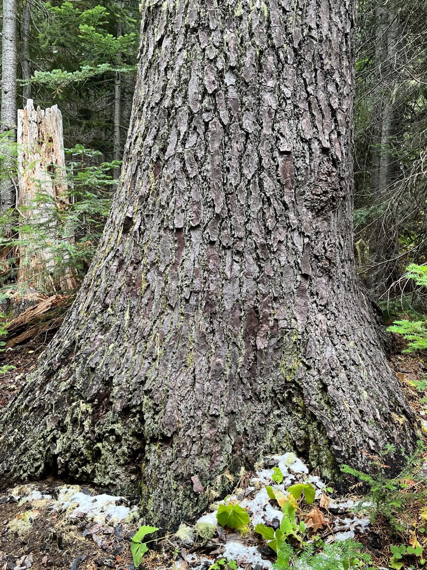
Stately Shasta red fir
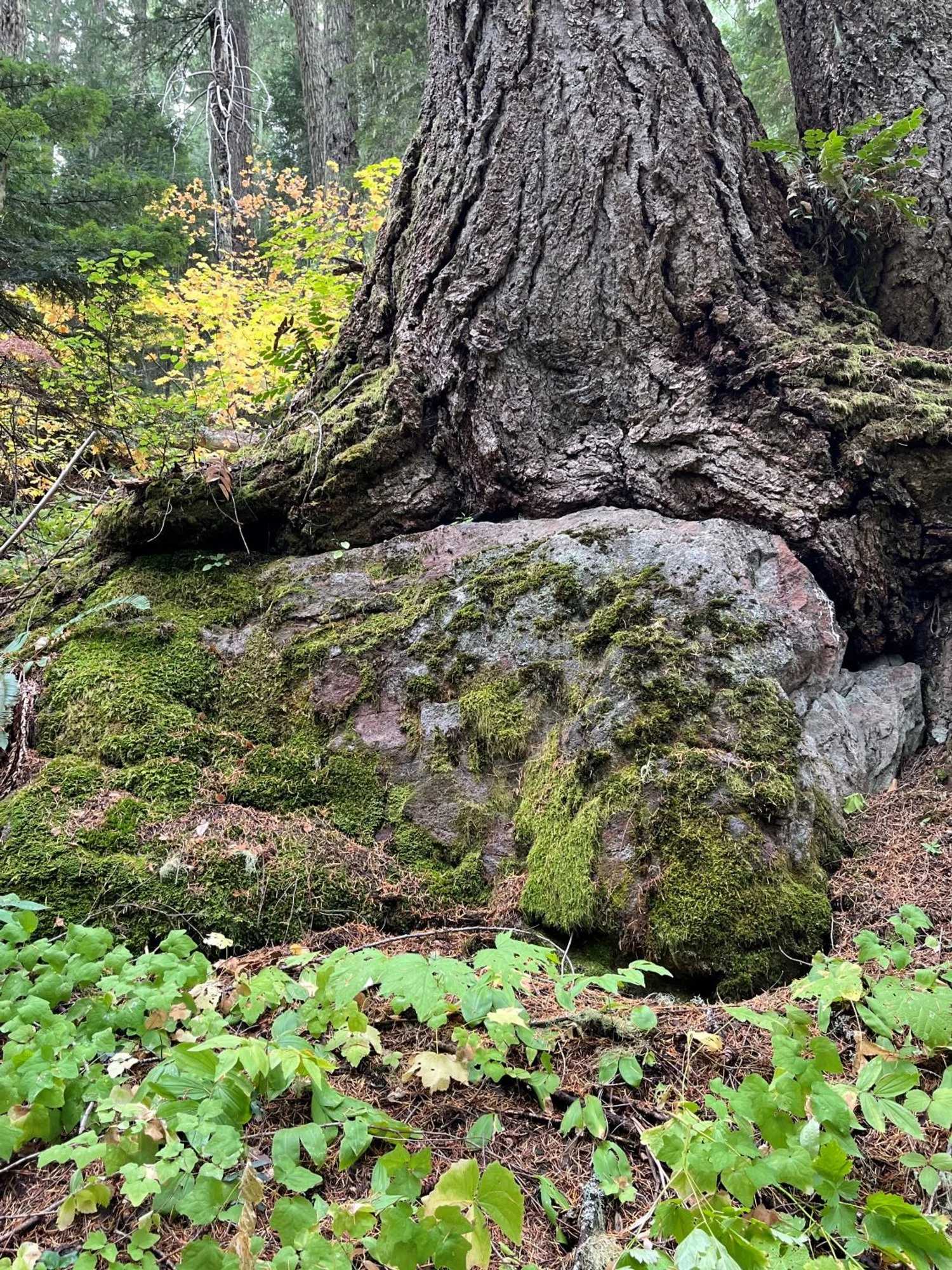
It's melting ....
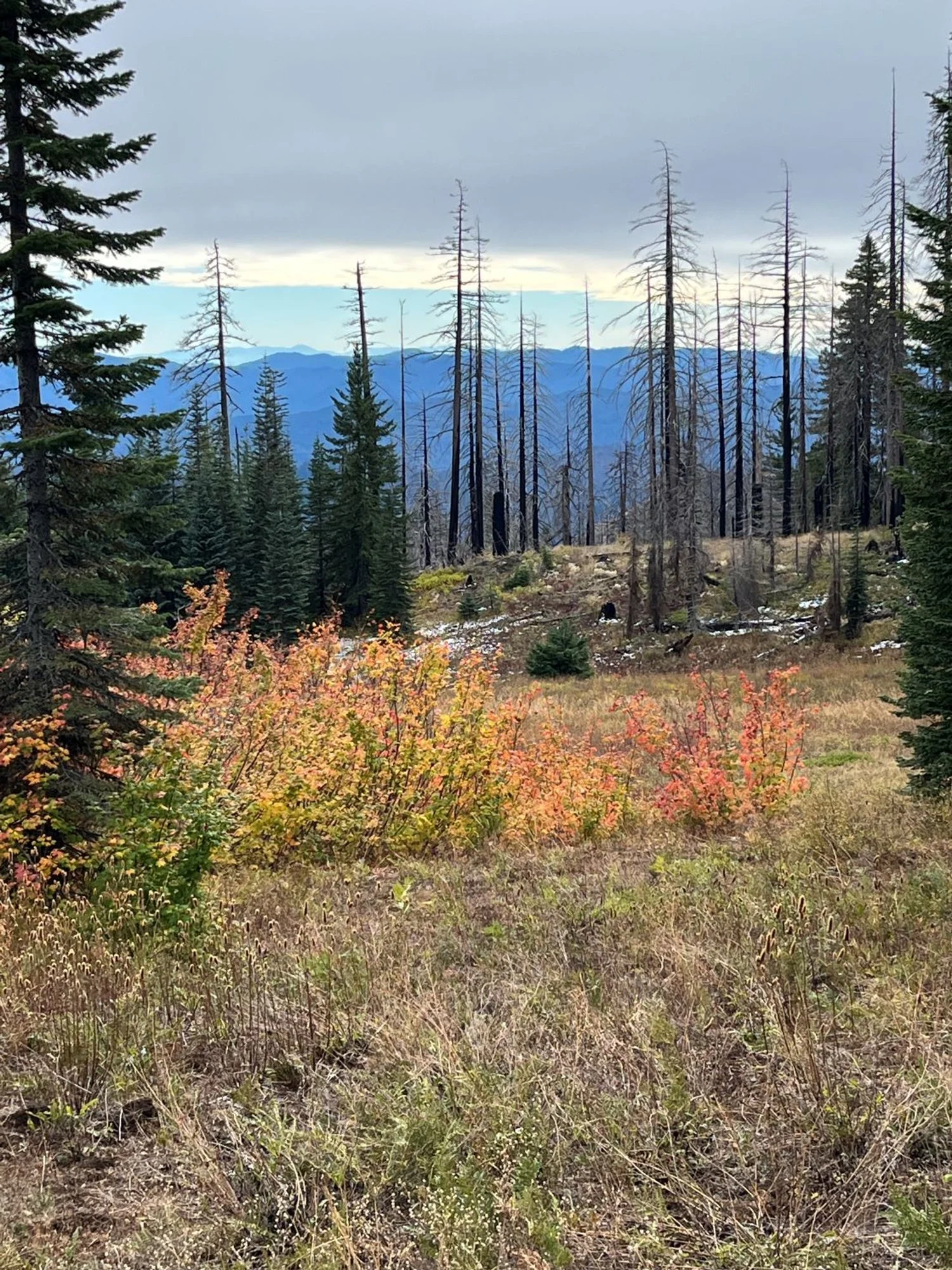
Meadow maintenance by fire?
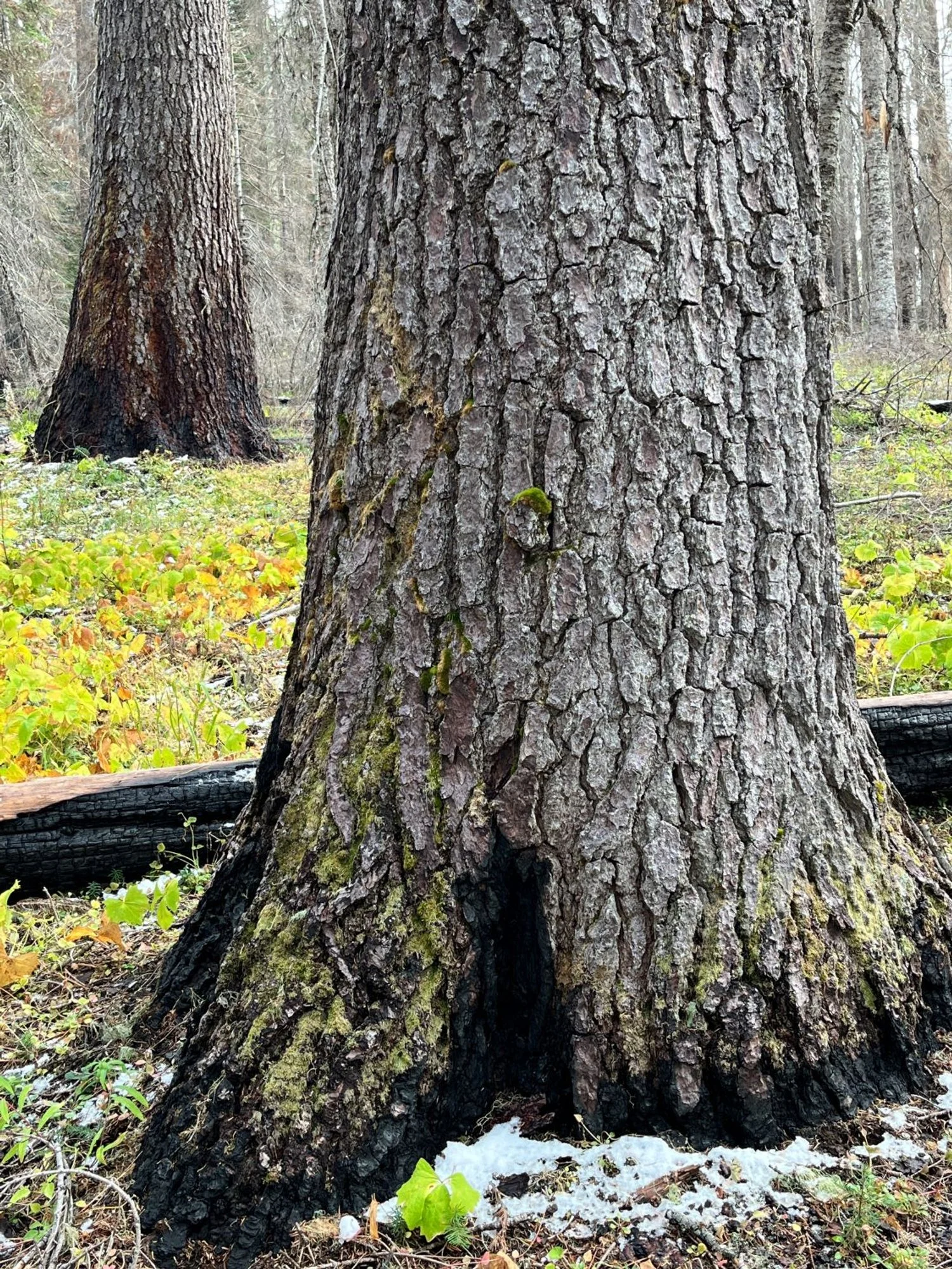
Shasta red fir mortality by surface fire
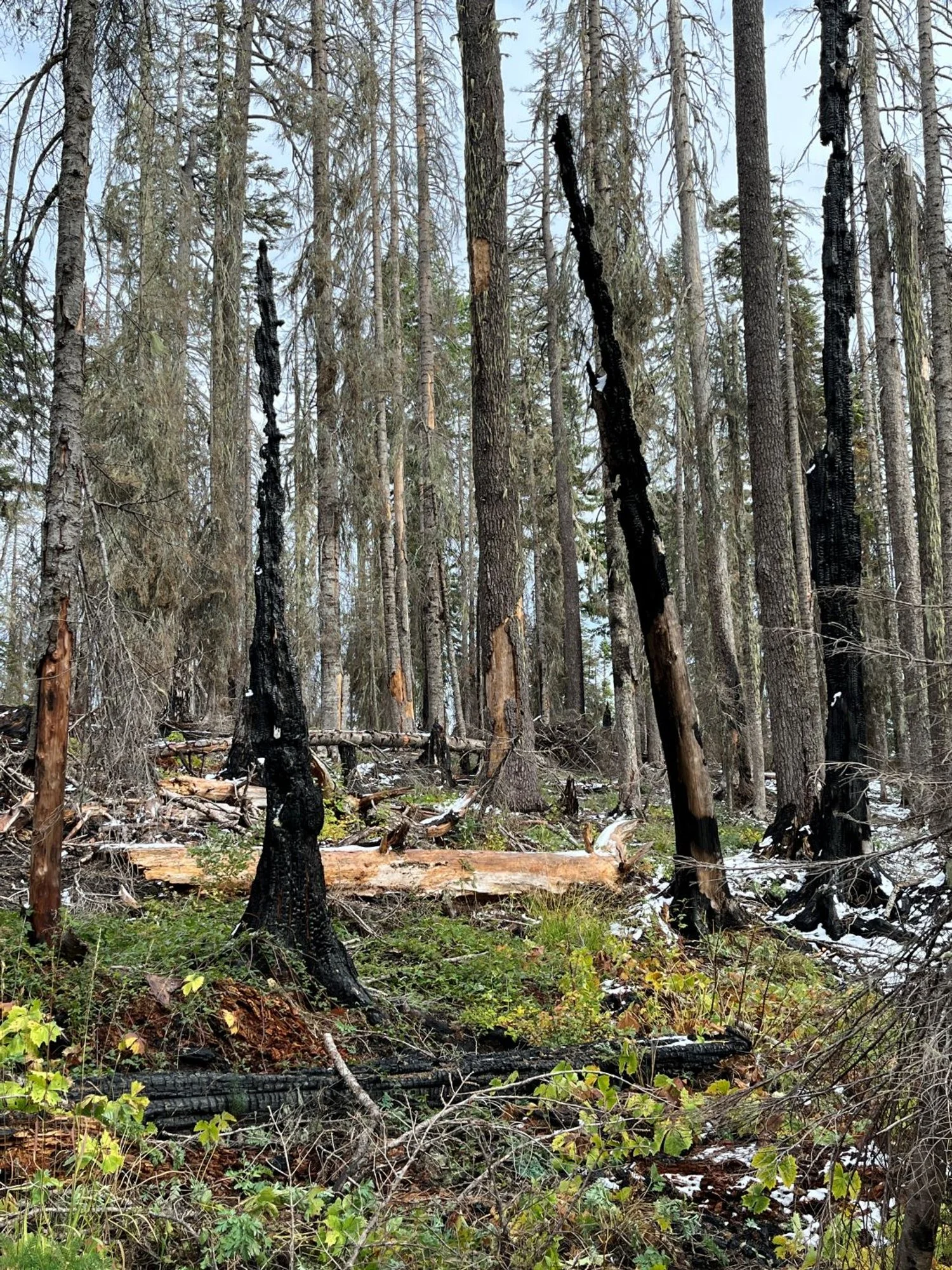
Smith Fire (2021)
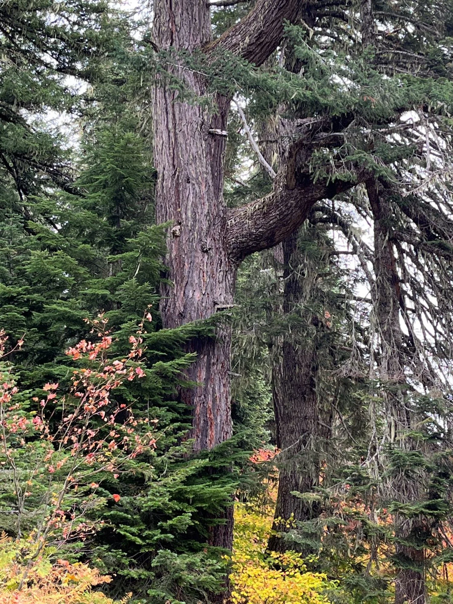
An ancient survivor
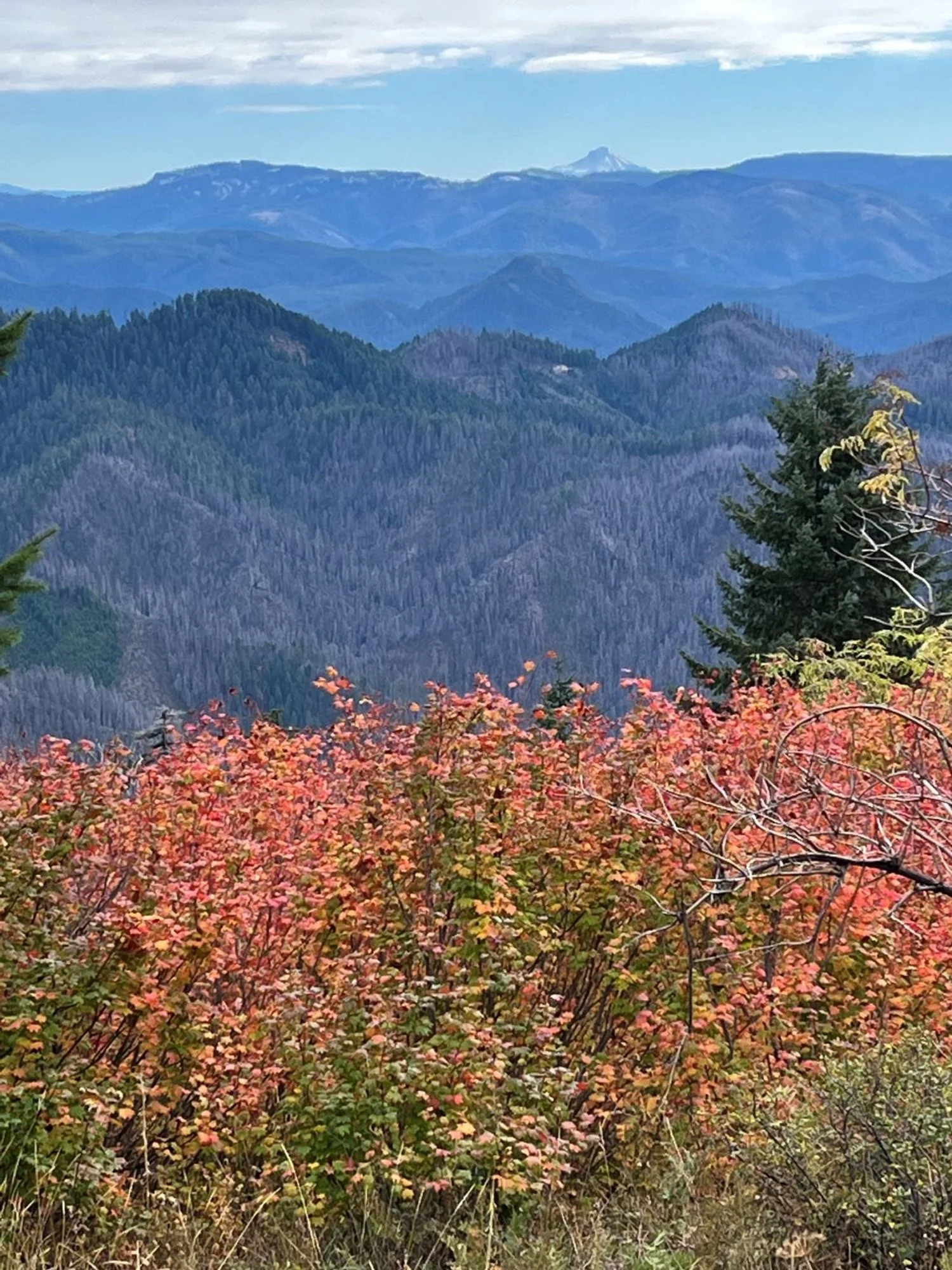
Smith Fire, Rogue-Umpqua Divide Wilderness, Mount McLoughlin
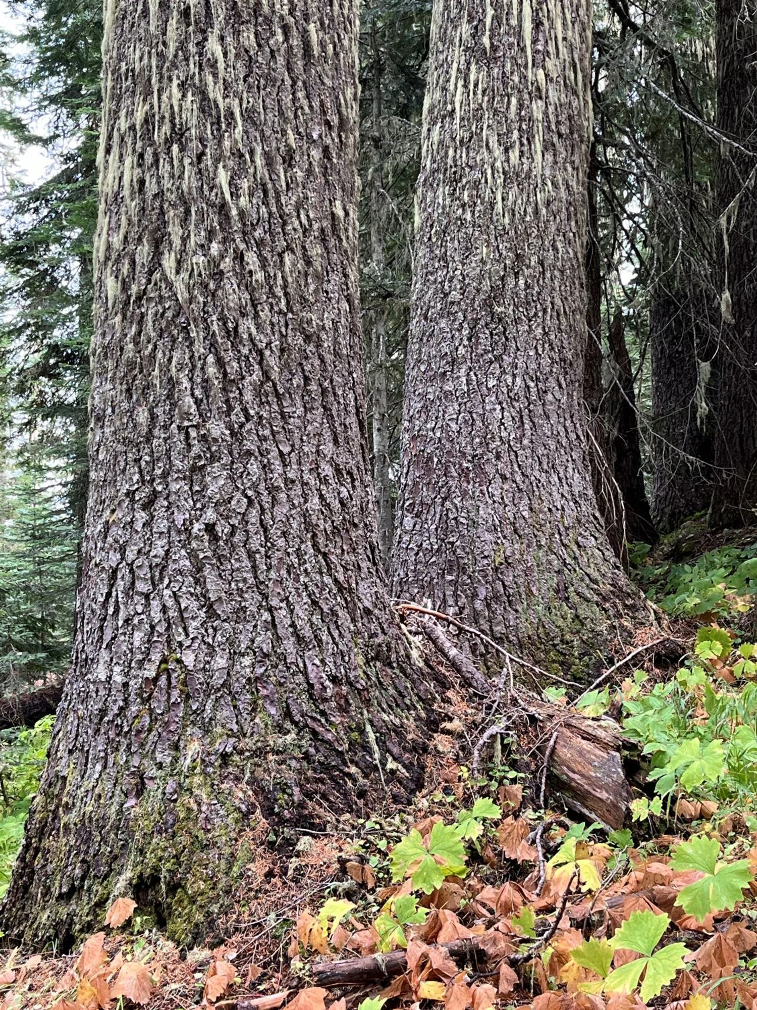
Stout Shasta red fir

It got hot here
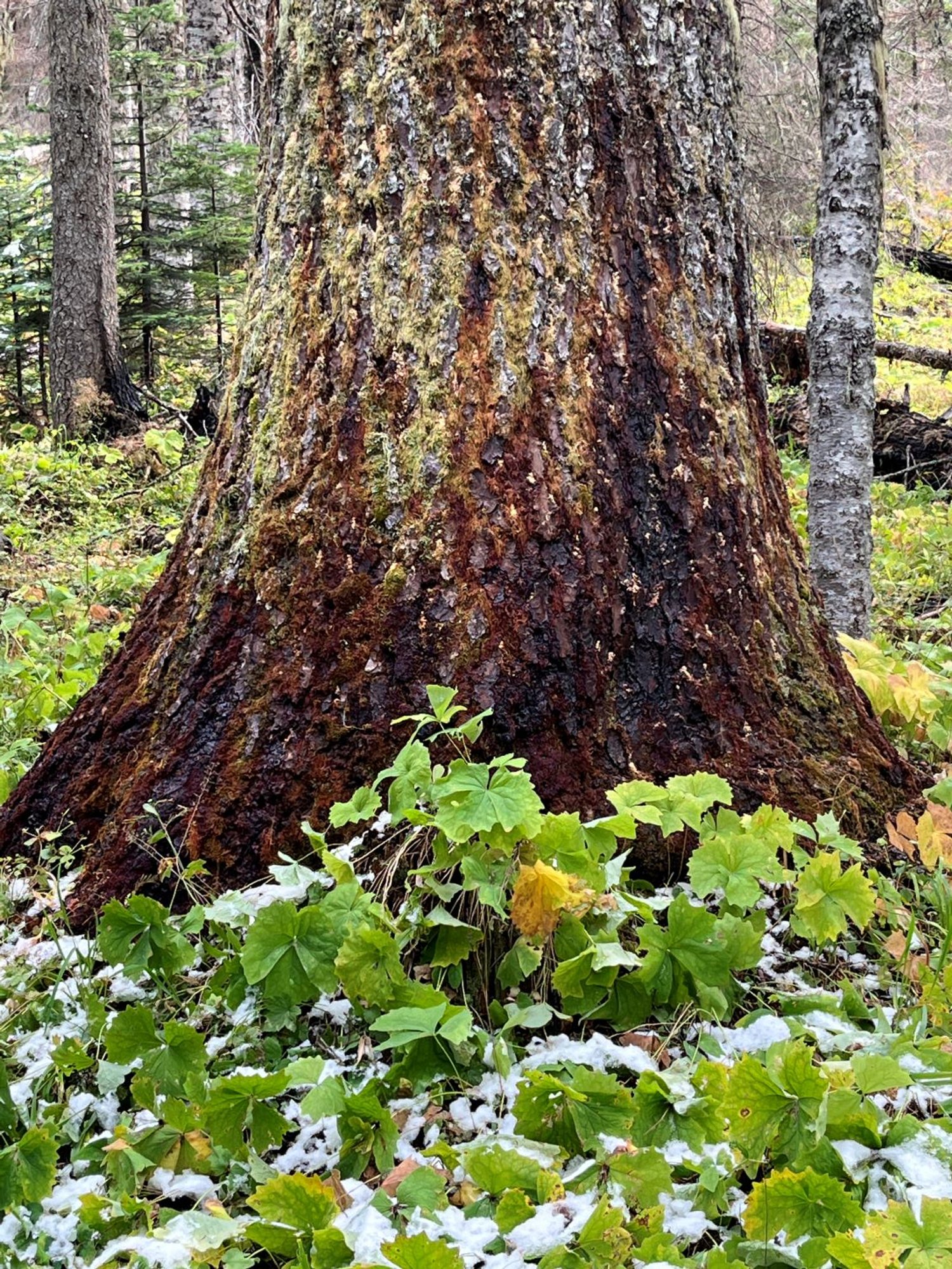
Colorful fire damage
