19 - Hot Springs Fork
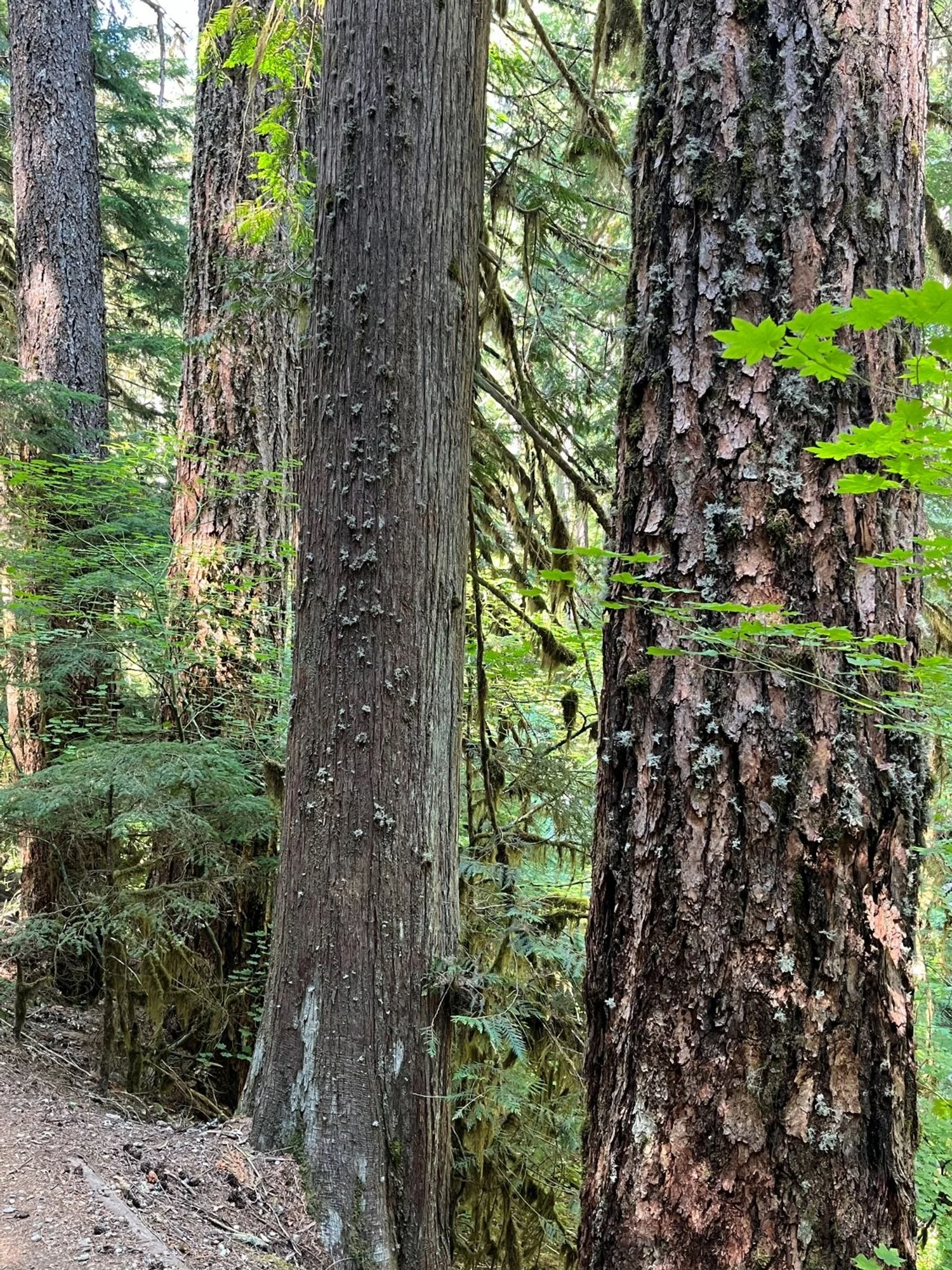
Western redcedar and Douglas fir old growth
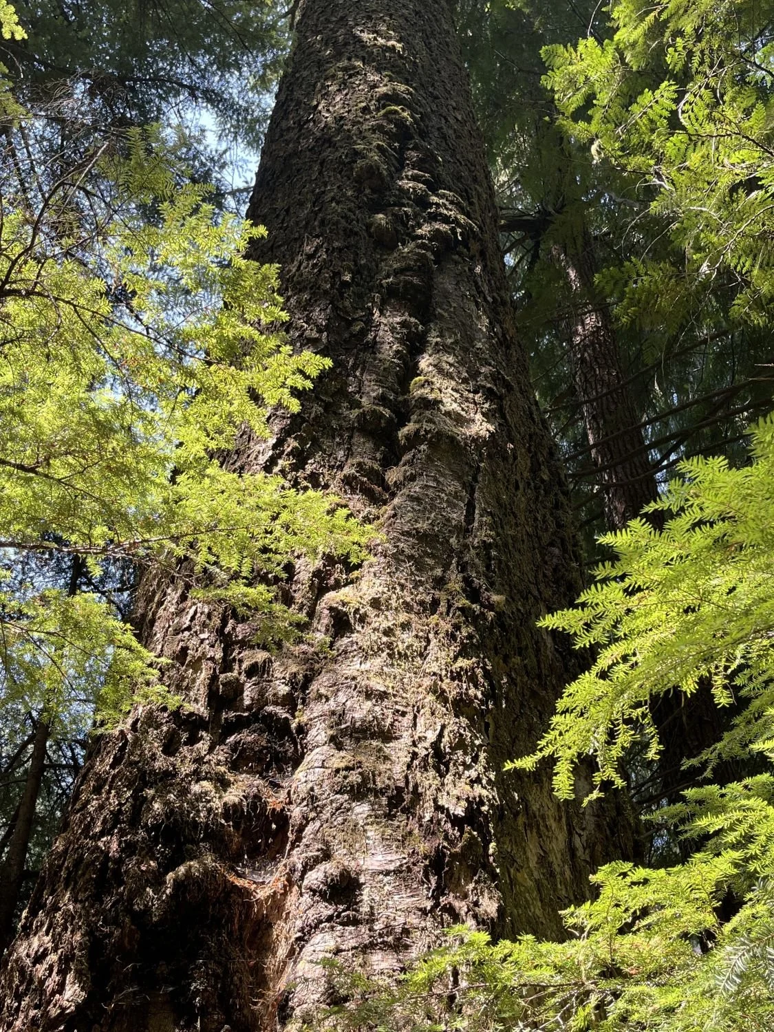
A towering giant
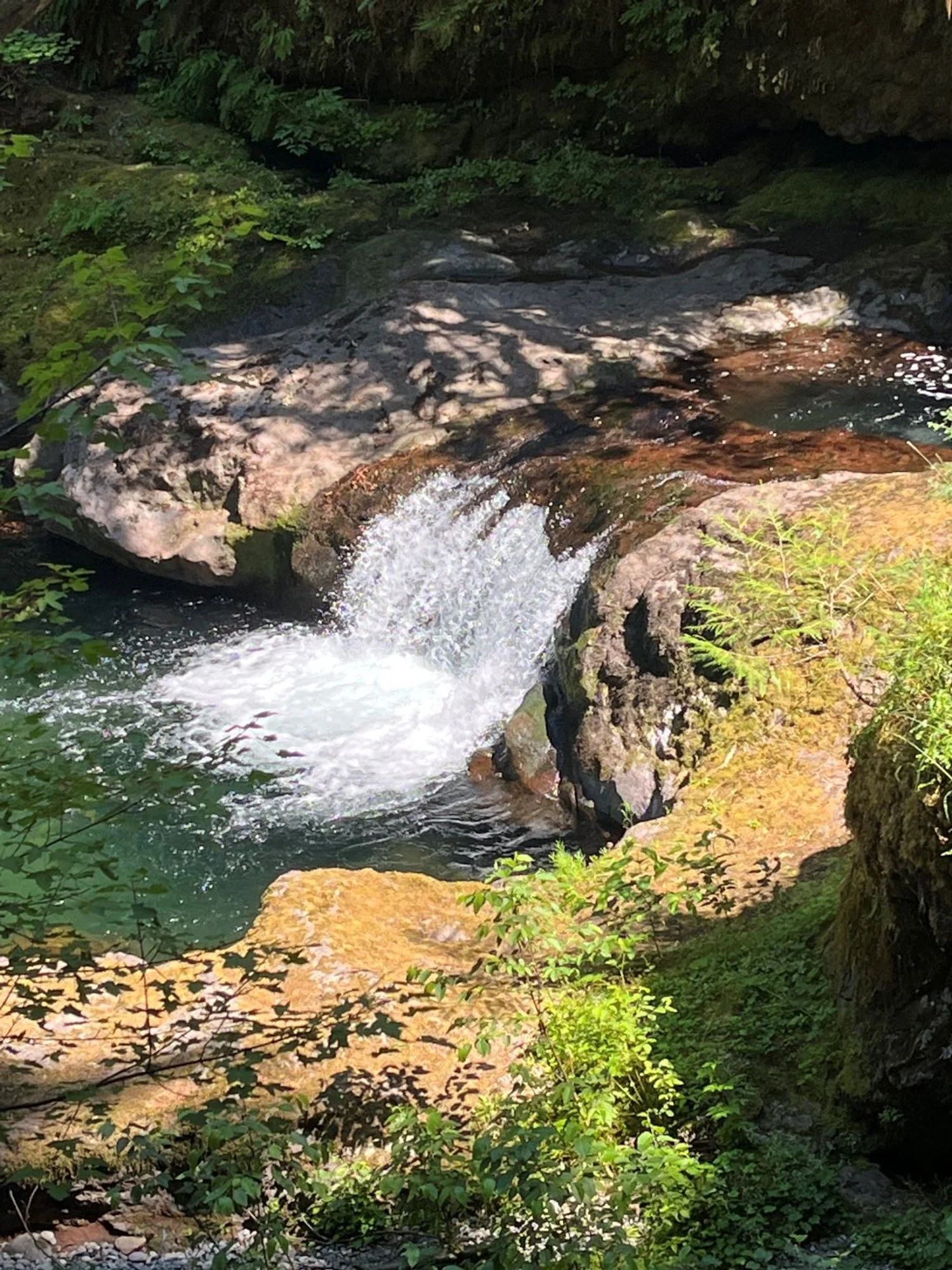
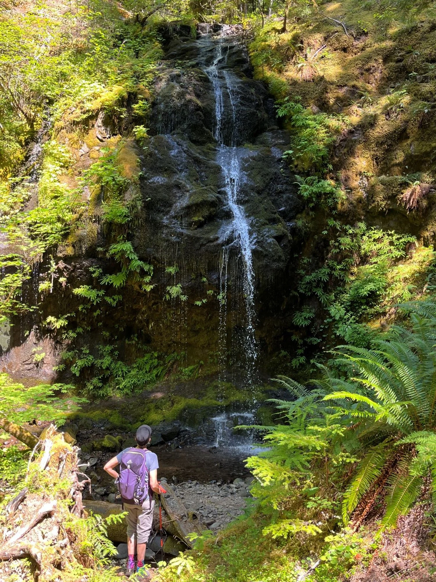
Beautiful unnamed falls
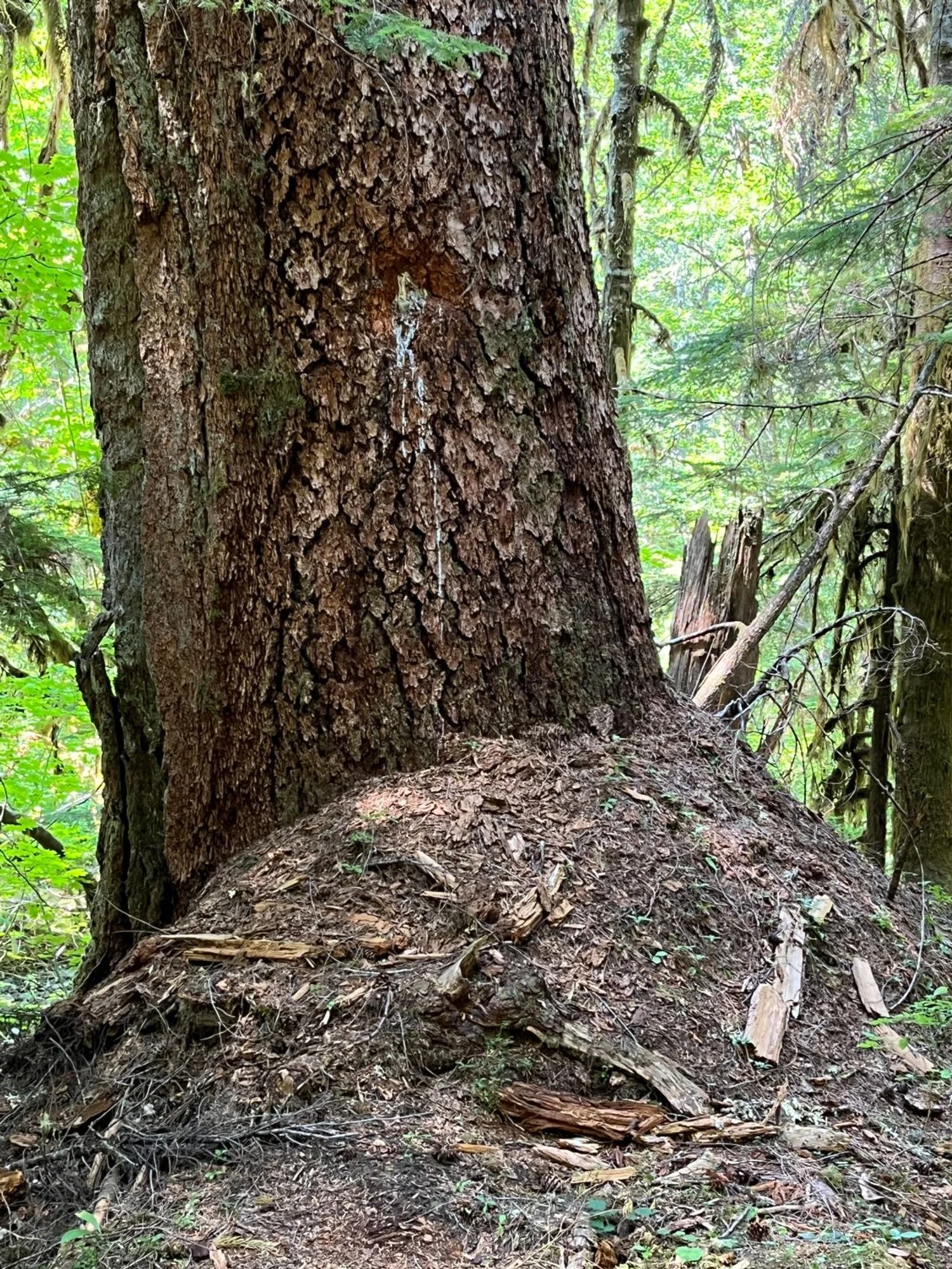
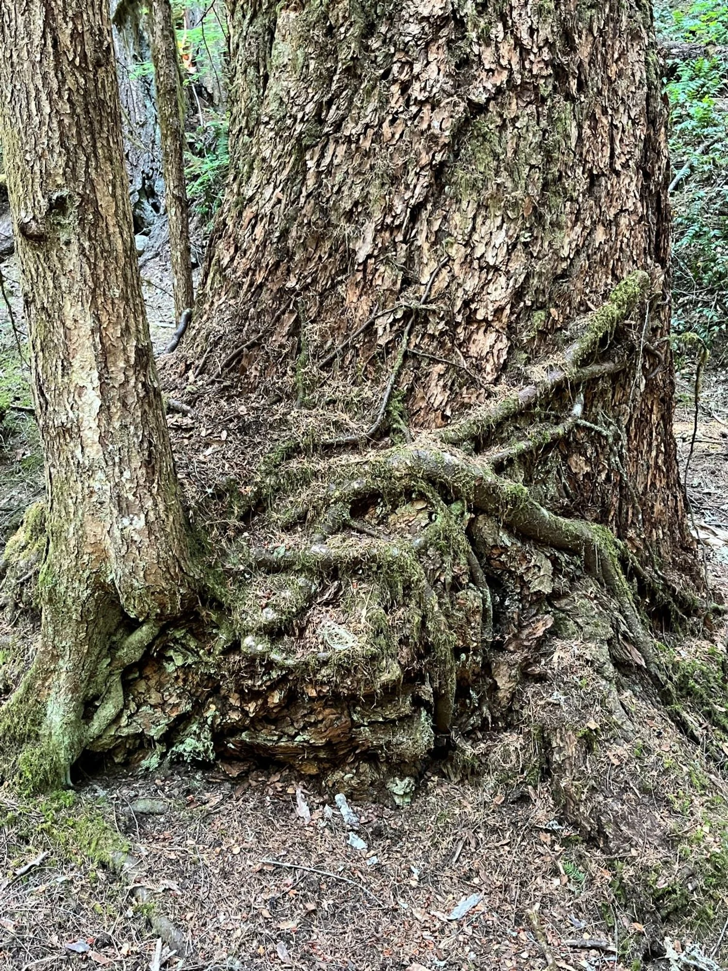
Giant duff-mound around giant Douglas-fir
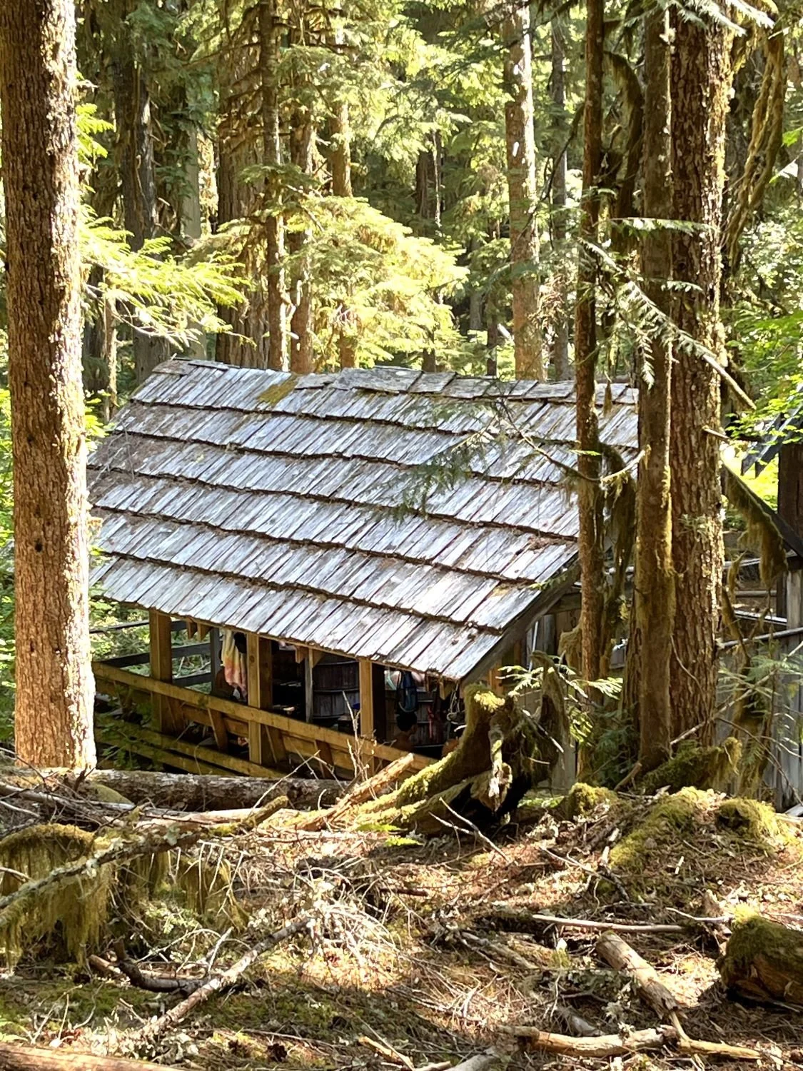
Bagby Hot Springs bathhouse
Shower Creek Falls
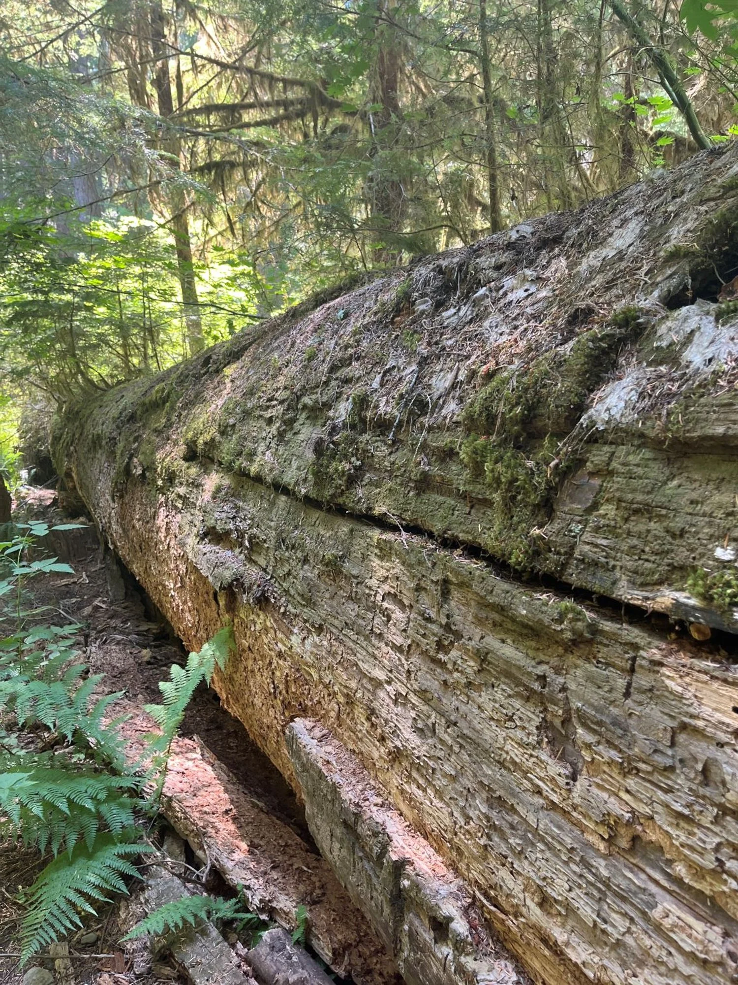
Massive down log
Western hemlock holds on ...
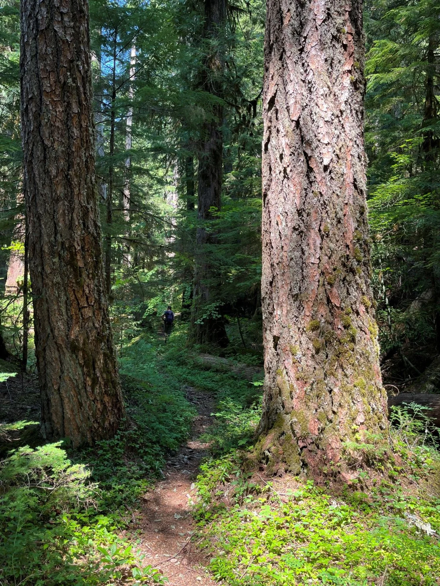
A trail runs through it