57. Brice Creek
Summary
Length 5 ½ miles one way
Difficulty Moderate
Season Year round
Elevation range 1,380 – 2040 feet
Human imprint High (hikers, mountain bikers, road nearby)
Information Umpqua National Forest (Cottage Grove Ranger District)
Primary old growth features
Low-elevation, mixed riparian old growth; some immense old Douglas-fir.
Description
An attractive old forest, a cascading mountain stream, and close proximity to the Eugene-Springfield area all serve to lure a steady stream of warm-season visitors to Brice Creek. Waders, soakers and swimmers are abundant above Cedar Creek Campground, especially around Brice Creek Falls. Usually snow-free through most of the winter, the Brice Creek Trail also offers a winter and early-spring refuge when snow still covers most mountain trails.
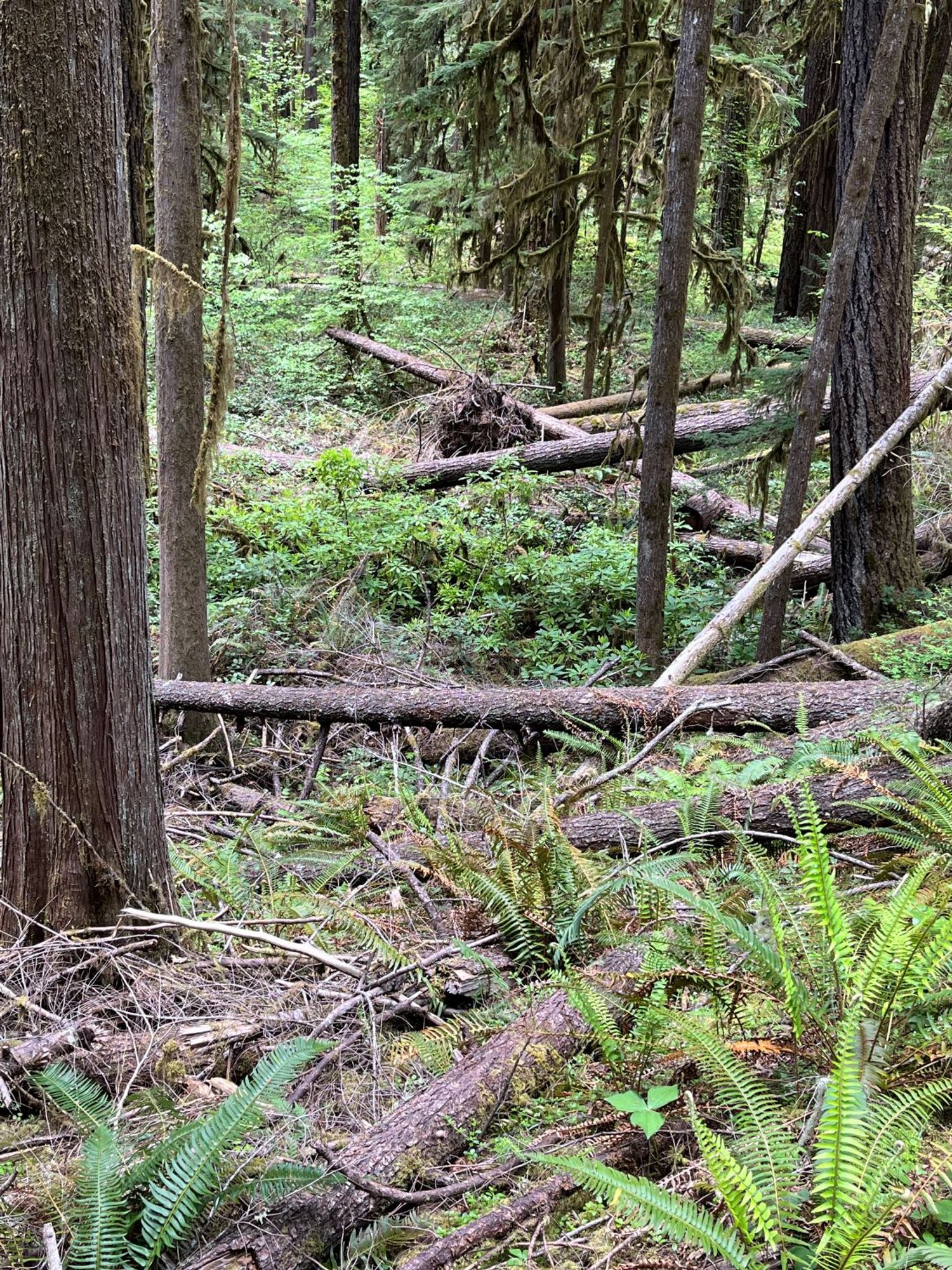
Much of the old forest along the trail consists of a dominant tree layer of 250-300-year-old Douglas-fir. Winter storms over the last 20 years or so have knocked down quite a few trees individually and in small patches, creating light gaps and the opportunity for a more structurally diverse forest to develop in this age cohort over the next several decades.
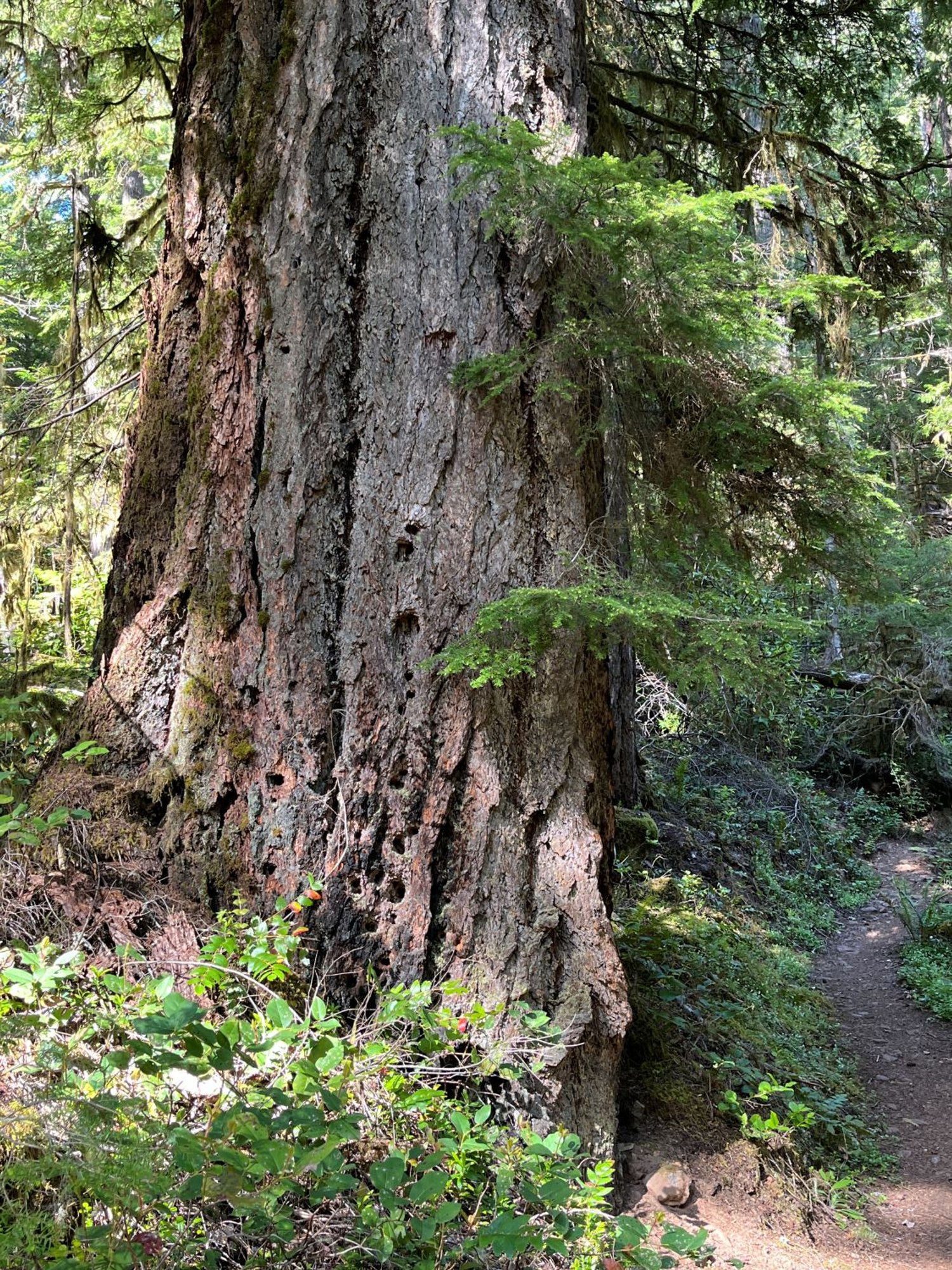
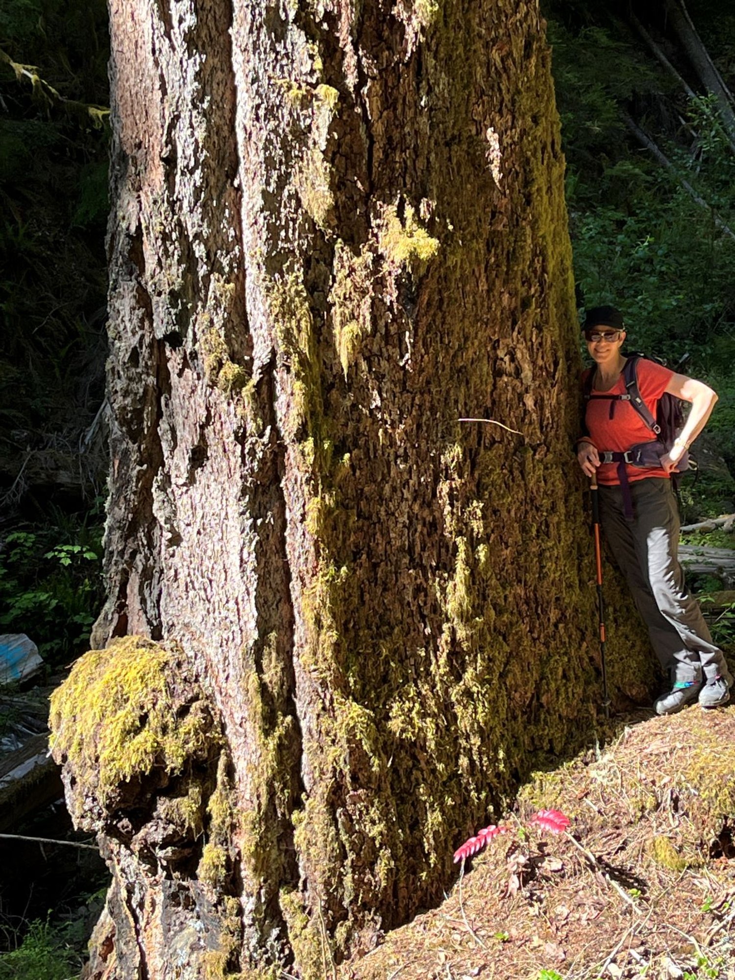
Older Douglas-fir survive in places though, forming small stands of gorgeous, low-elevation old growth. A few much older (550-700 years) and larger (6-7’ thick) Douglas-fir are scattered throughout the forest, impressing visitors with their huge girth and deep-furrowed bark. The finest old forest lies between Brice Creek Falls and Lund Park.
Four trailheads provide hikers with options for trips of varying length. The western trailhead is the first encountered, and a favorite entry point for mountain bikers. The Cedar Creek Campground is the next trailhead in line and a popular summertime spot. The trail tread has been widened and hardened for wheelchair access from the campground upriver for about a third of a mile to a viewpoint of Brice Creek Falls. This section is rated as ‘More Difficult’ for wheelchair users. Ideal sunning rocks and dipping pools upstream from the falls entice water lovers to cool off in the creek.
The Lund Park Campground (approximately 4 miles from the western trailhead), and the eastern trailhead at Champion Creek (5 ½ miles from the western trailhead) provide access to the upper half of the trail. The Trestle Creek Falls Loop (Hike 58) can be combined with the upper segment of the hike.
30 Years of Change
The forest canopy has been significantly affected in places through winter storm treefall.
How to get there
Take the northern Cottage Grove exit (174) from Interstate 5 and head east toward Dorena Lake. Follow Shore View Drive around the south shore of the lake, continuing east on Row River Road once around the lake (approximately 11 miles from Cottage Grove). The main road turns into Brice Creek Road (County Road 2470) by the junction with Layng Creek Road 7.5 miles later, and enters the Umpqua National Forest in another 2 ½ miles. The western trailhead is on the right about two-thirds of a mile past the national forest entrance sign; Cedar Creek Campground is on the left 1.4 miles later; Lund Park trailhead is also on the left another 2.3 miles up the road; and the eastern trailhead is just over the Champion Creek bridge 1.2 miles later. All roads are paved.

Ancient trailside veteran

Brice Creek Falls

Beautiful Douglas-fir

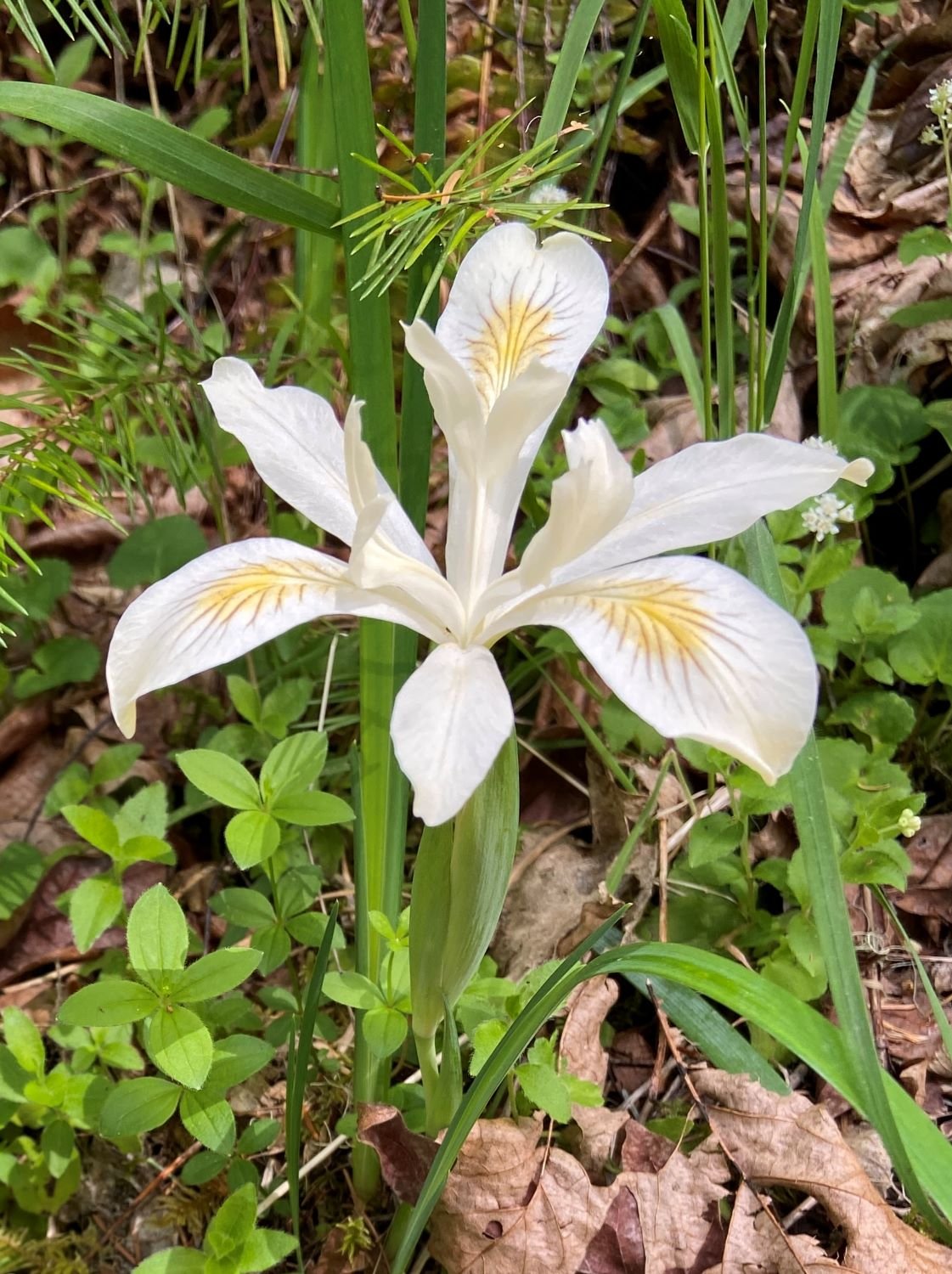
Yellowleaf iris, May

Diane and the giant fir

Moss on a rock seep

Abundant down trees

New canopy gap

Oregon stonecrop
