58. Trestle Creek Falls
Summary
Length 4 ½ mile loop, including a side trip to Lower Trestle Creek Falls
Difficulty Moderate
Season Year round
Elevation range 1,920 – 2800 feet
Human imprint High (hikers, mountain bikers, road nearby)
Information Umpqua National Forest (Cottage Grove Ranger District)
Primary old growth features
Low-elevation riparian old growth
Description
Two idyllic falls on Trestle Creek highlight an interesting short loop through the diverse old forest above Brice Creek. Two-tiered Upper Trestle Creek Falls spills delicately over an andesite ledge, and is particularly rewarding in the spring when the creek runs full. Intriguingly, the trail actually dips behind the upper falls requiring careful footwork in the immediate area. Lower Trestle Falls drops into a wood-filled, ferny grotto reached via a short side-trail up an old-growth valley bottom, and is well worth the additional hike distance.
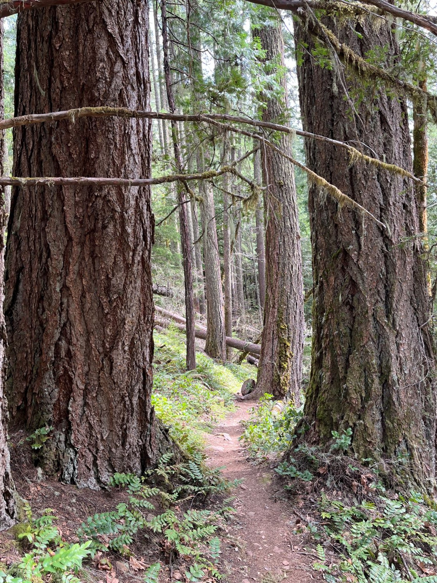
The dominant forest canopy consists of Douglas-fir 200 to 300 years old that regenerated following wildfires of uncertain origin. A few much older and larger fire survivors are also scattered throughout the forest, including Douglas-fir over 550 years old. A few incense cedar, sugar pine, and madrone are sprinkled in, but are now being out-competed by Douglas-fir. It is quite possible that this area was historically maintained in a much more open condition through regular Indigenous burning, with a low density of fire-resistant old Douglas-fir, sugar pine and incense cedar.
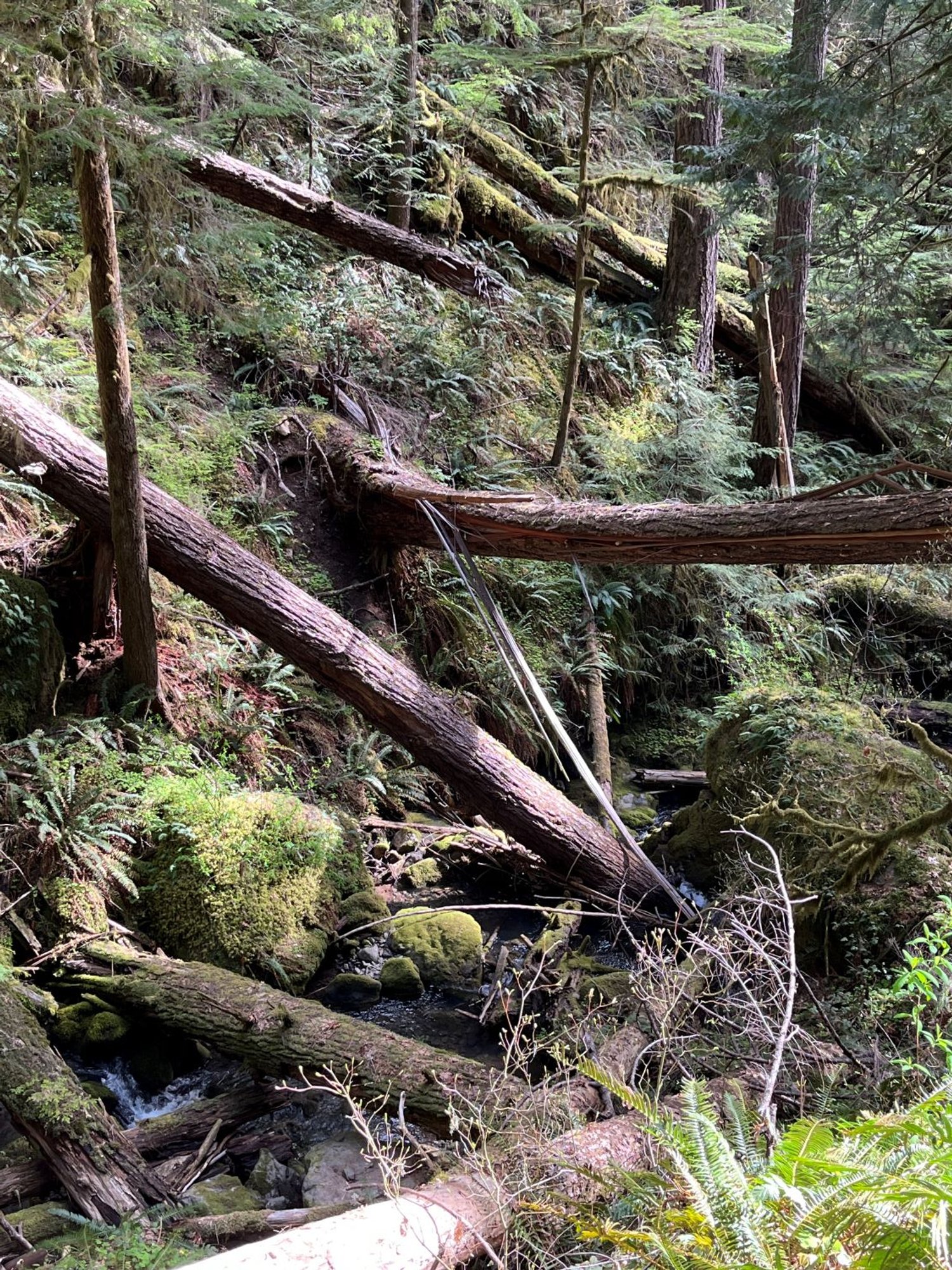
From the Champion Creek trailhead, ignore the Brice Creek Trail (1403) and head uphill on the hiker-only Upper Trestle Falls Trail (1403 D). The trail switchbacks up the hillside tracking southeast before the final turn points back towards Trestle Creek. From here the trail cuts across the slope into the Trestle Creek drainage arriving at the falls in a little less than 1 ½ miles from the trailhead. Areas of downed trees from winter storms in 2024 drape across the trail in places.
Carefully follow the trail behind the falls and descend the slope down to a trail junction approximately 1 1/3 miles from the falls. Turn left on the Brice Creek Trail (1403) to reach the trailhead in about ¾ mile. The Trestle Creek Trail (1403 C) junction is about half way back along the Brice Creek Trail. Turn left and head up the valley bottom towards Lower Trestle Creek Falls through old forest most of the way, although storm damage has downed many large trees in the area.
30 Years of Change
Mostly just slow change, although there are significant areas of down trees east of Trestle Creek from winter storm damage in early 2024.
How to get there
Take the northern Cottage Grove exit (174) from Interstate 5 and head east toward Dorena Lake. Follow Shore View Drive around the south shore of the lake, continuing east on Row River Road once around the lake (approximately 11 miles from Cottage Grove). The main road turns into Brice Creek Road (County Road 2470) by the junction with Layng Creek Road 7.5 miles later, and enters the Umpqua National Forest in another 2.5 miles. The trailhead is just over the Champion Creek bridge about 5 ½ miles past the national forest entrance sign. All roads are paved.

Upper Trestle Creek Falls

Big Douglas-fir

Fairy slipper, April

Large sugar pine

Lower Trestle Creek Falls

Large down trees along Trestle Creek
