20 - Lost Creek Nature Trail
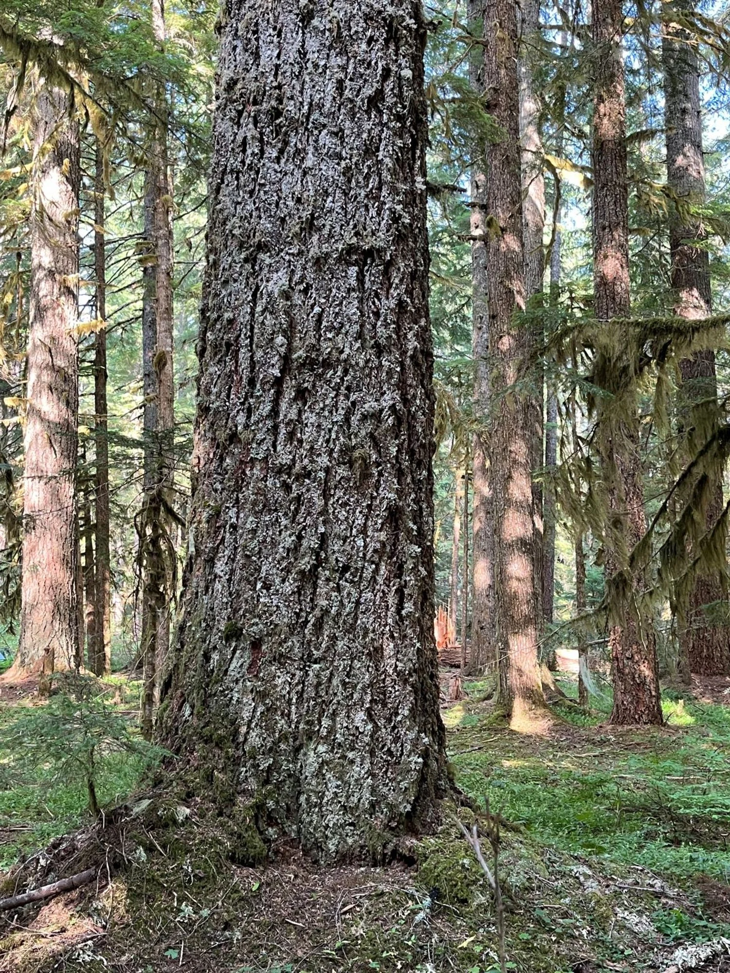
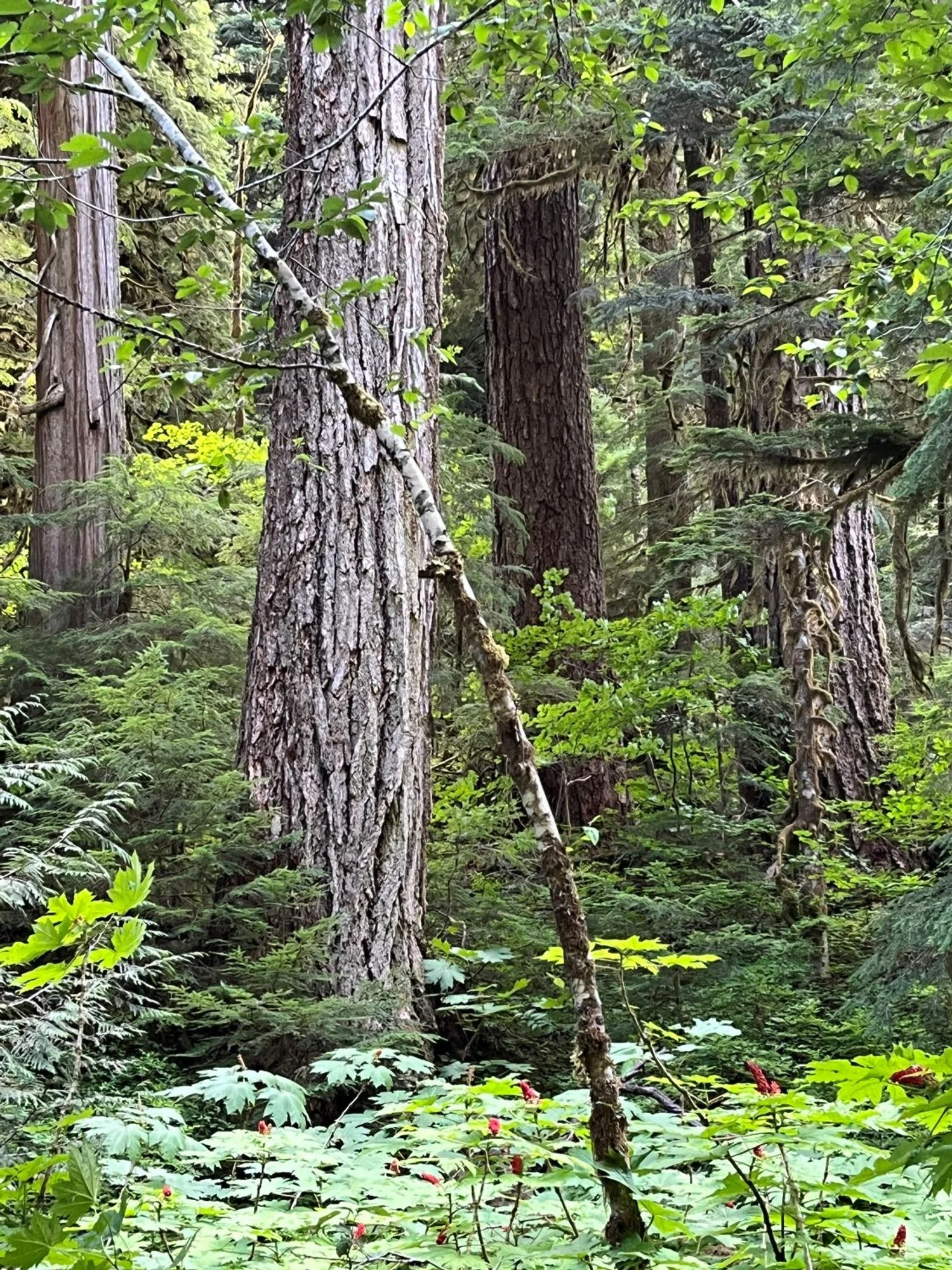
Douglas-fir
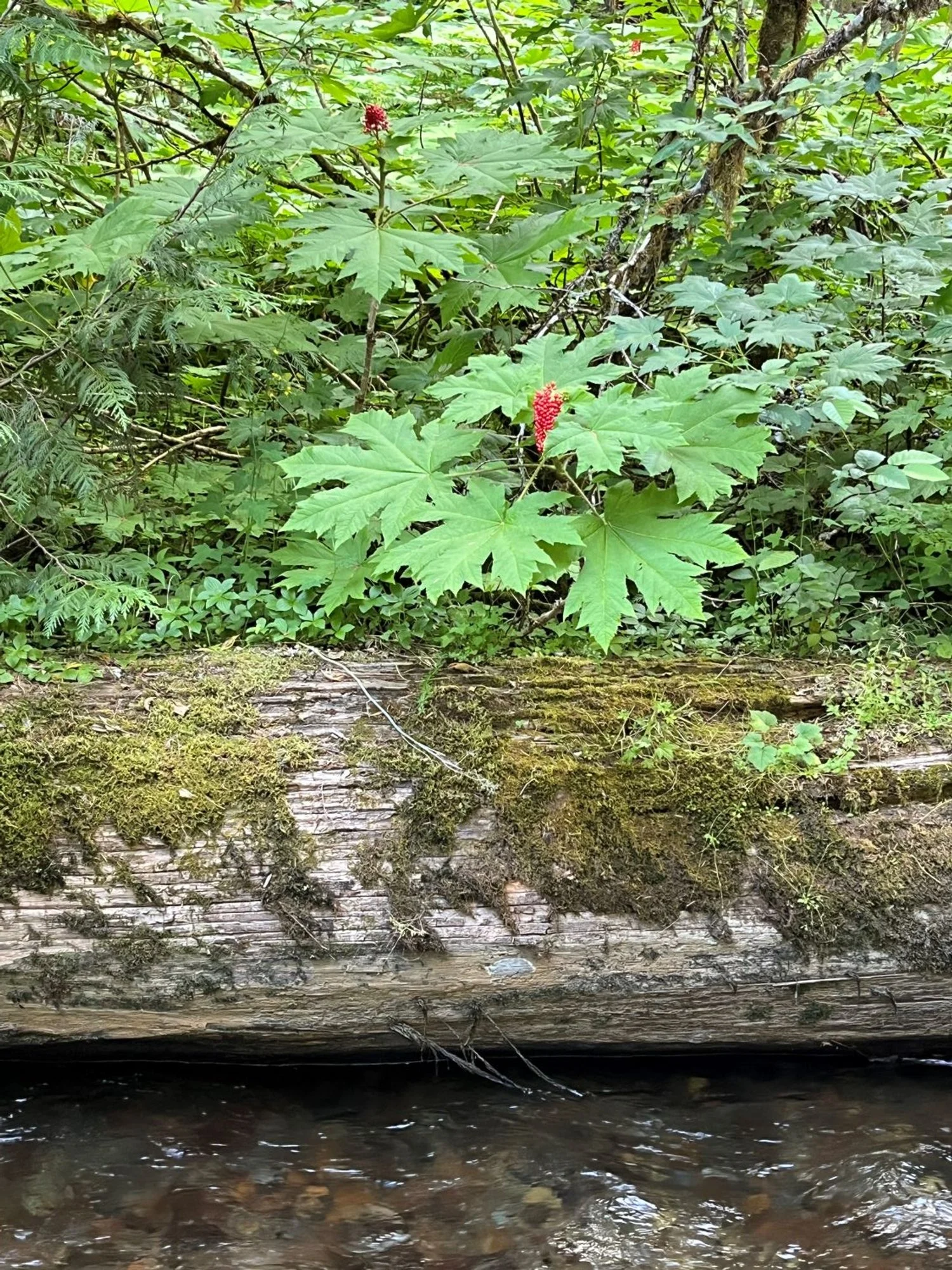
Devil's club
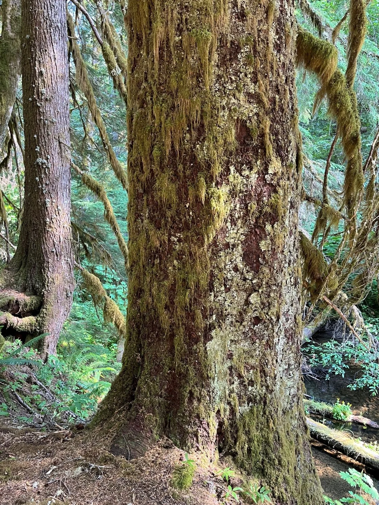
Pacific silver fir
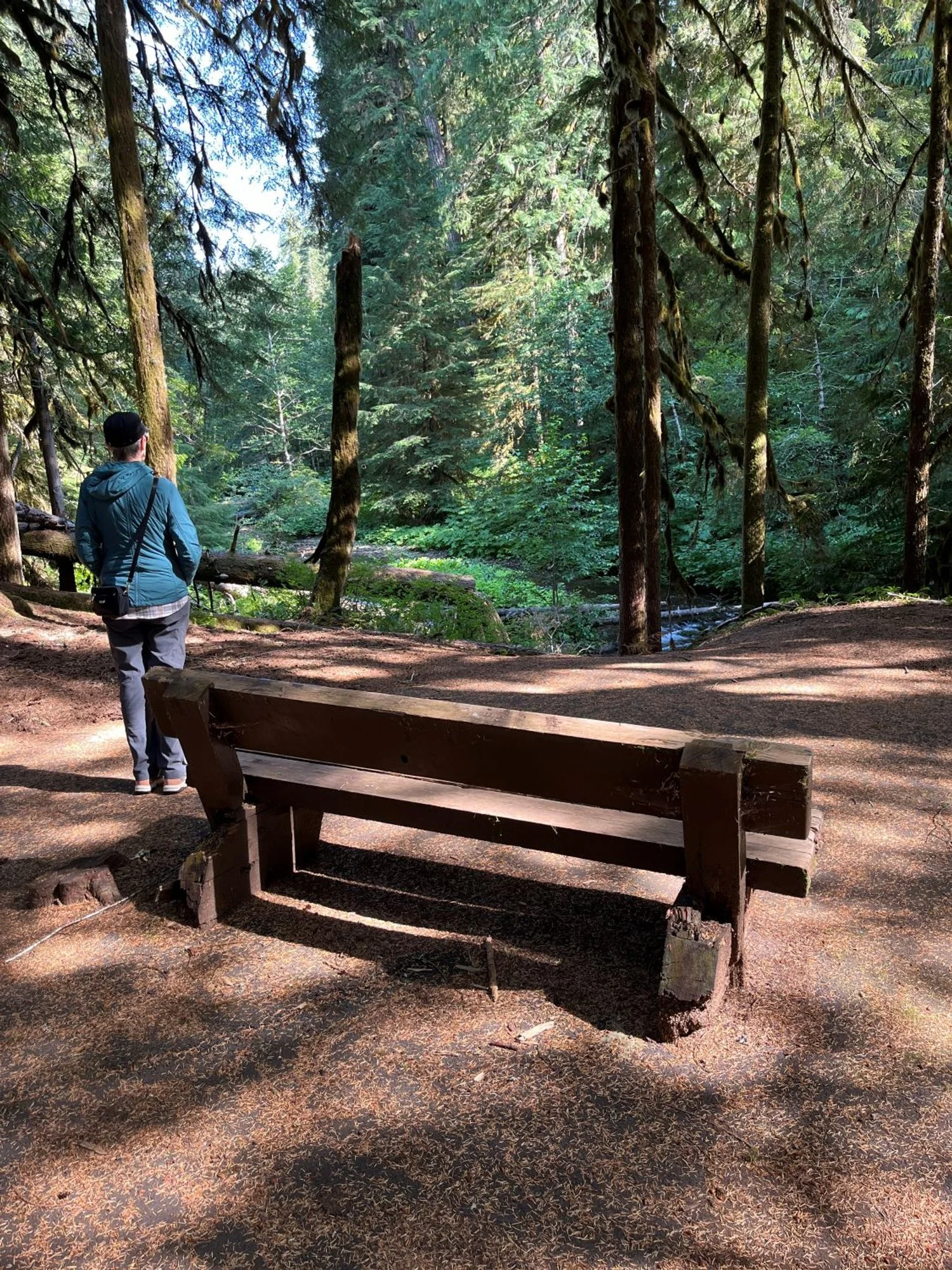
Sit and rest a spell
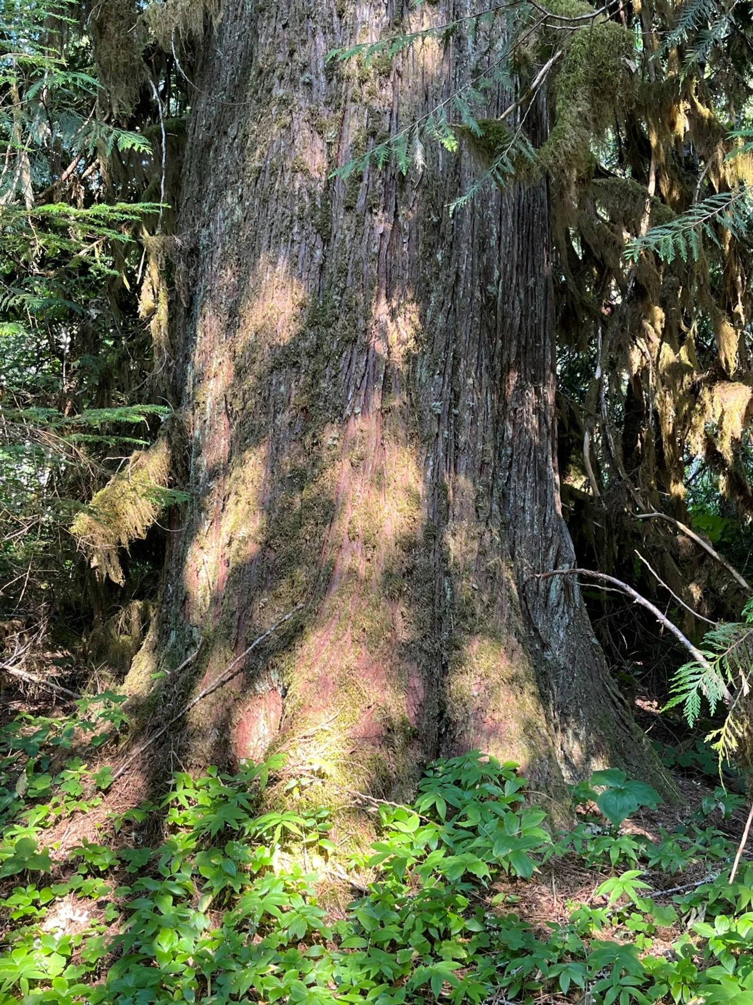
Western redcedar
Across the creek