12. Old Salmon River Trail

Diane and the big cedar

Salmon River

Old Douglas-fir
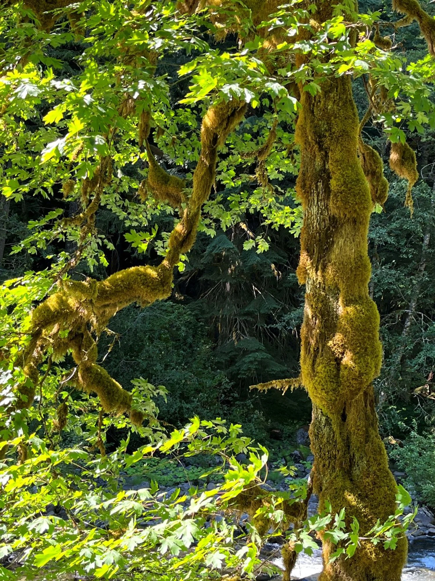
Beautiful bigleaf maple

Spiral scar
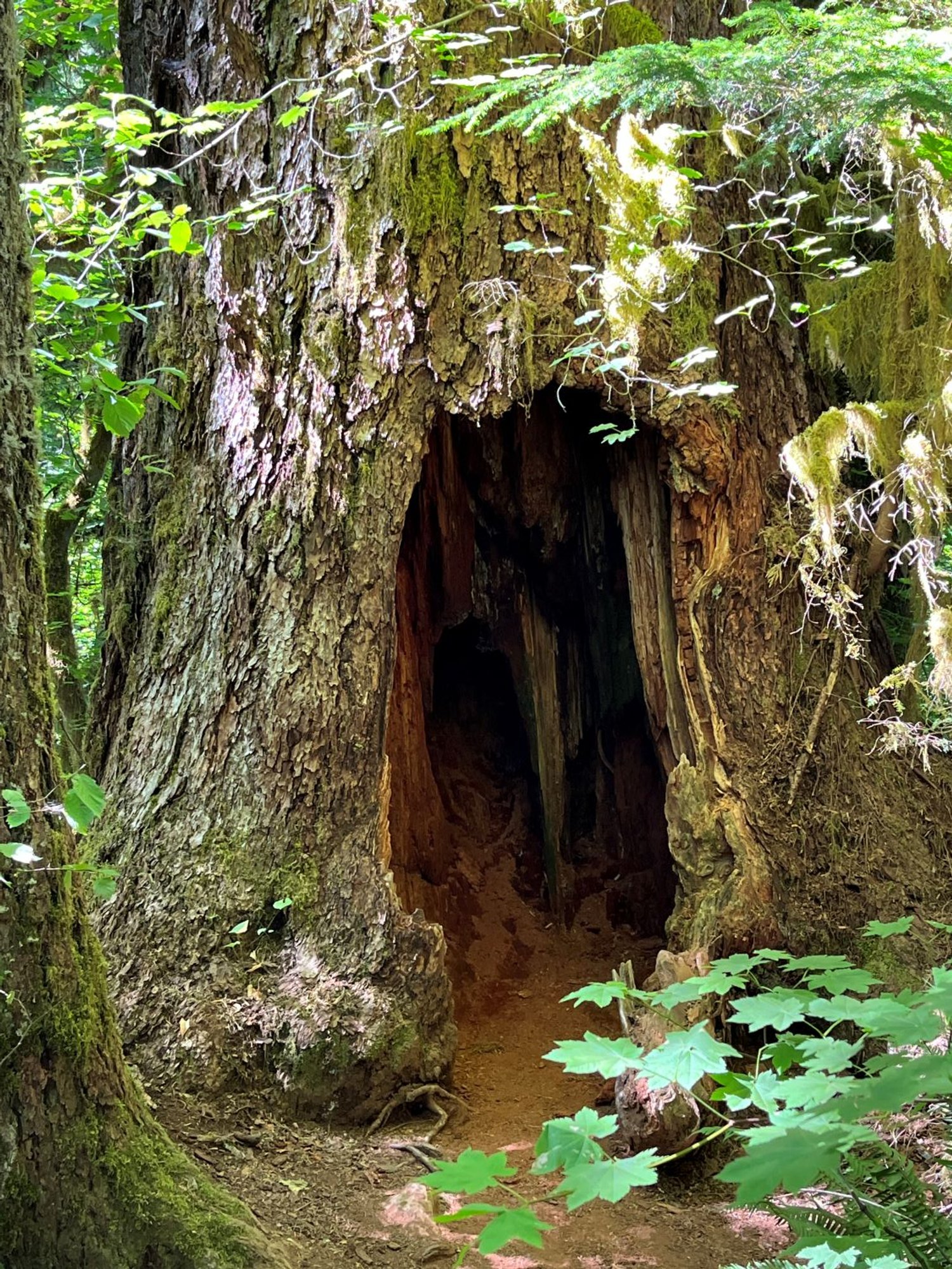
Who's in there?