36 - Eagle Creek (Salmon-Huckleberry Wilderness)
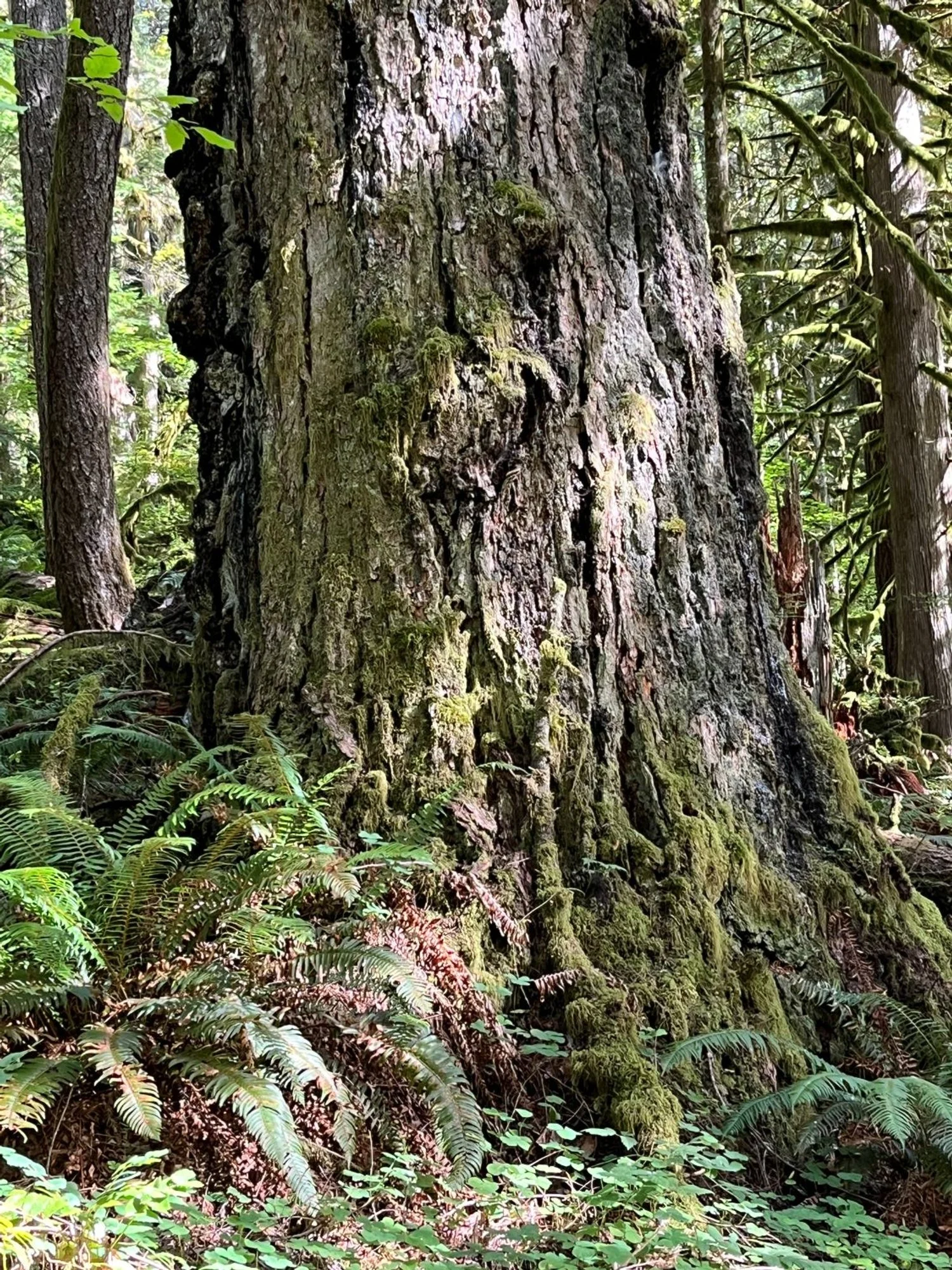
Giant Douglas-fir
Bigleaf maple
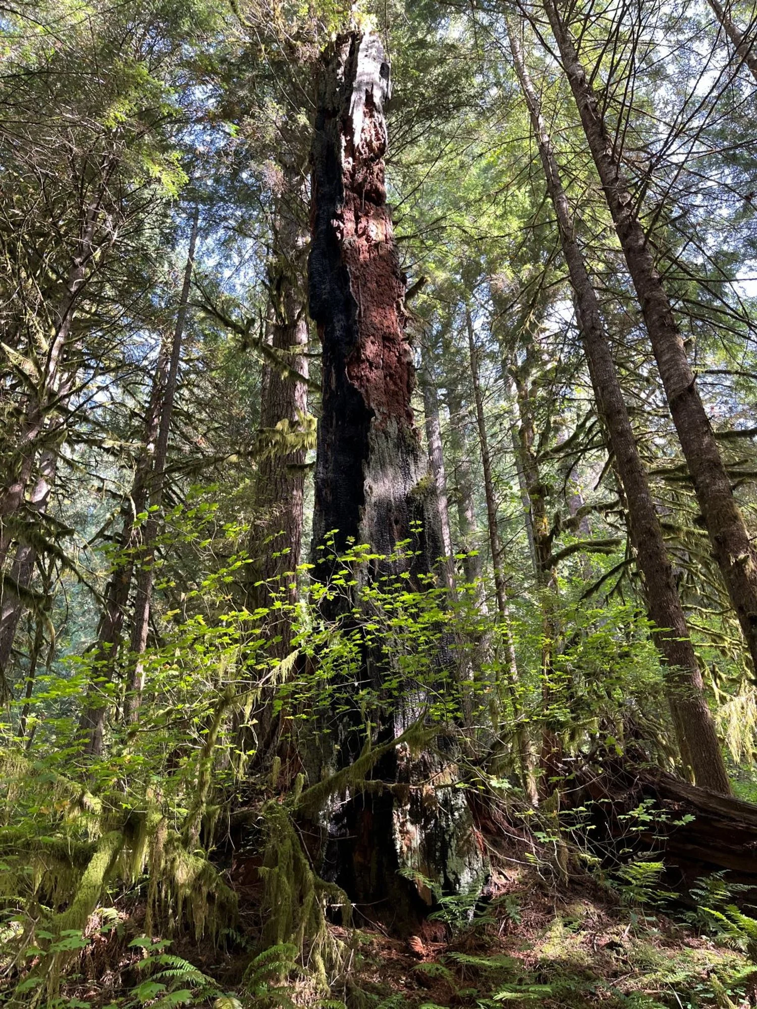
Still standing
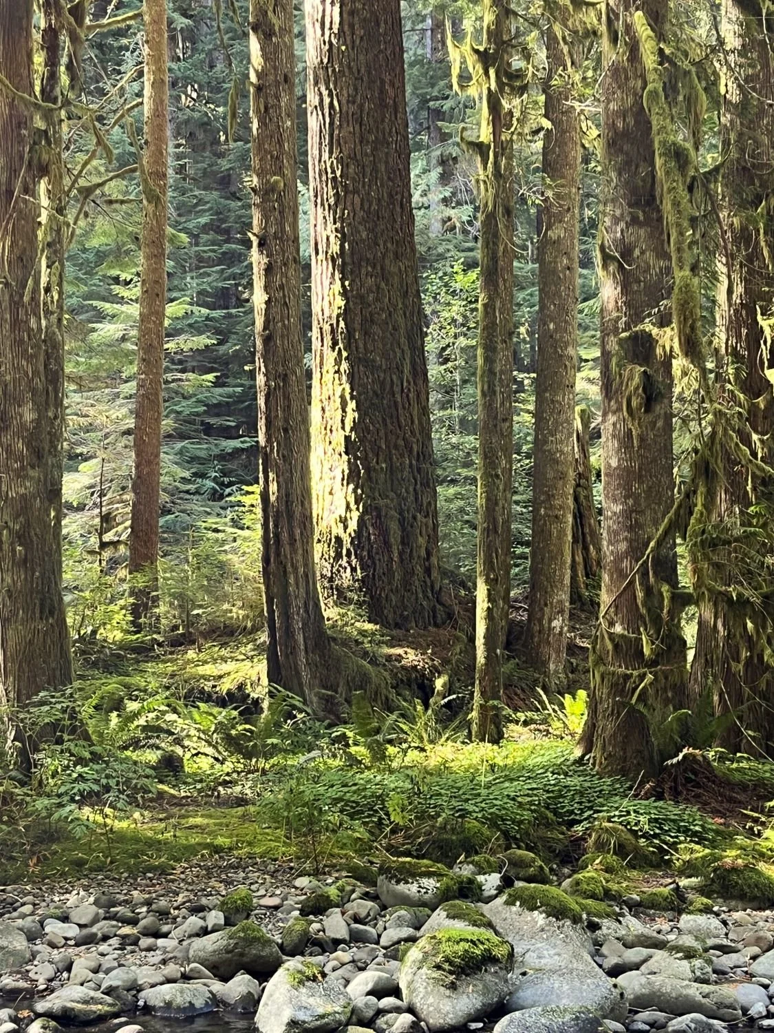
Western hemlock colonizer
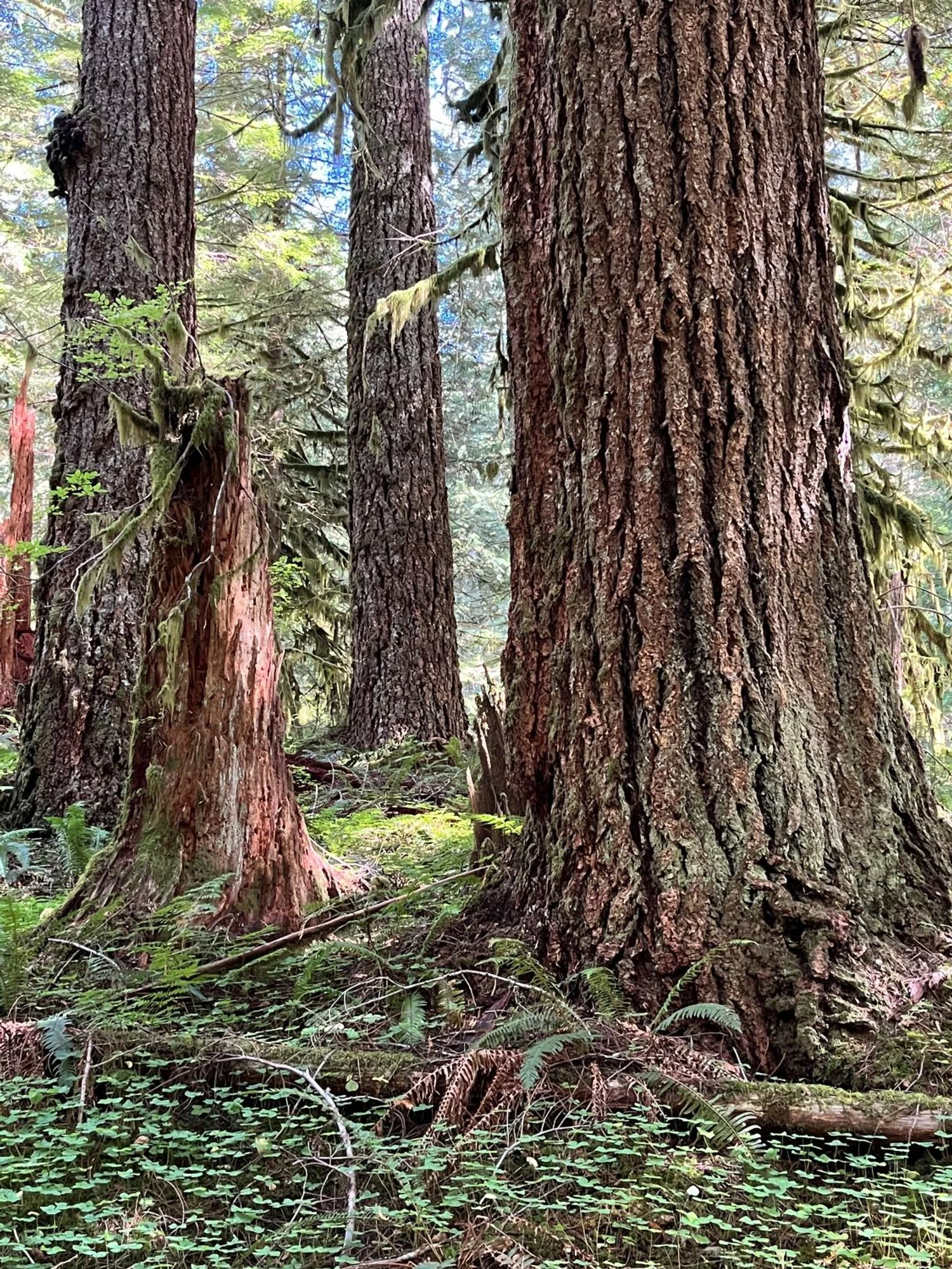
Beautiful Douglas-fir
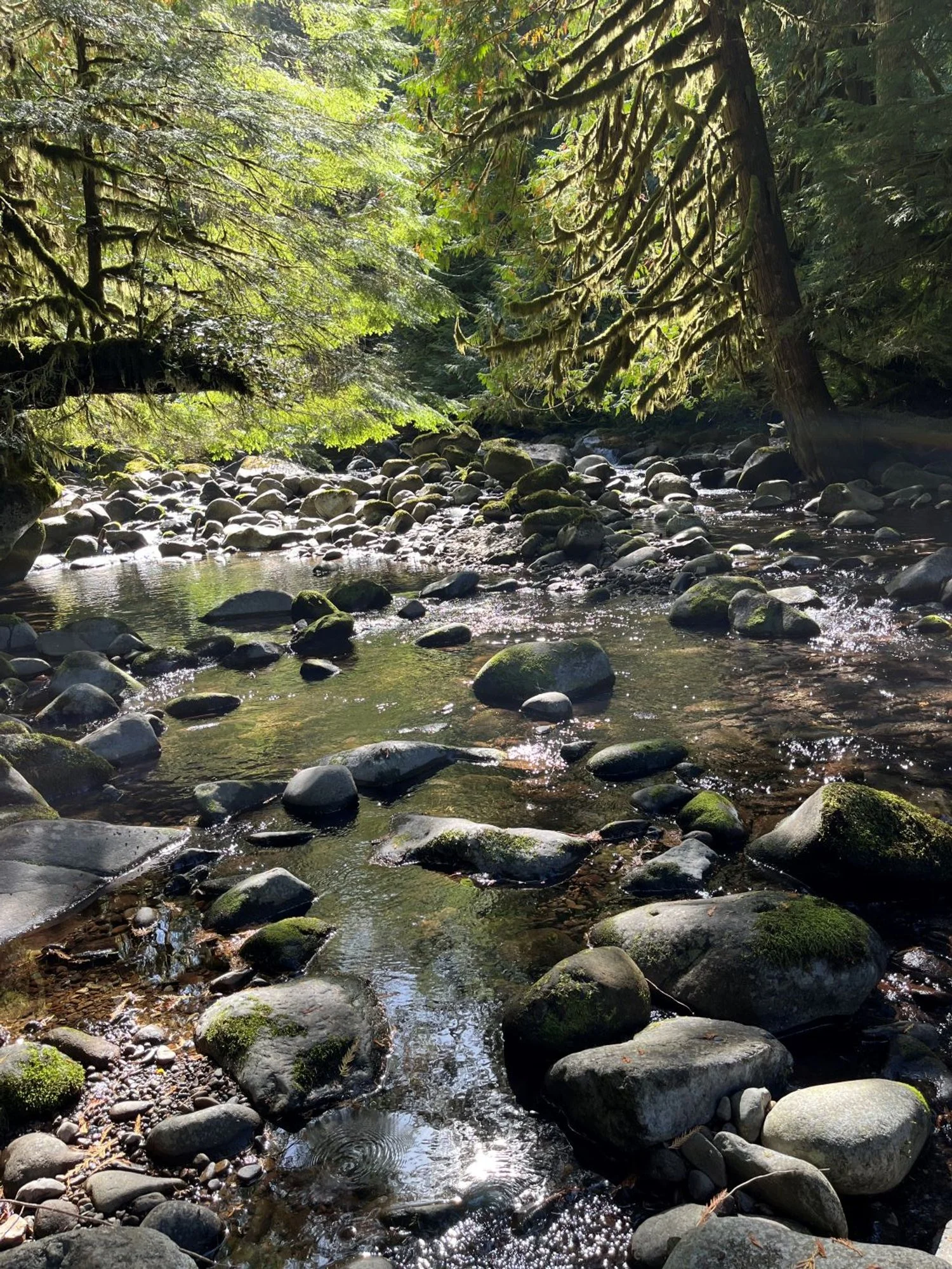
Eagle Creek
Across the creek
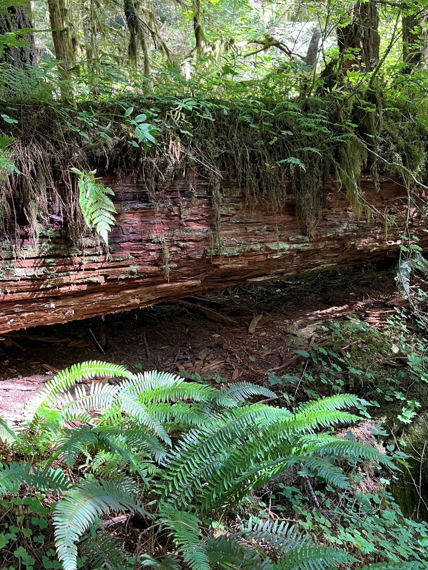
Every surface is a home
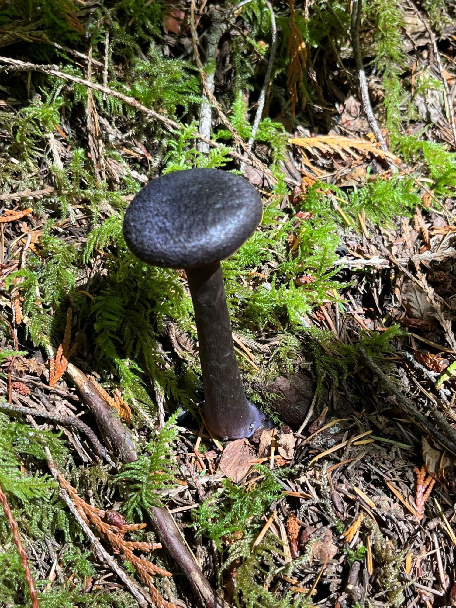
Violet webcap
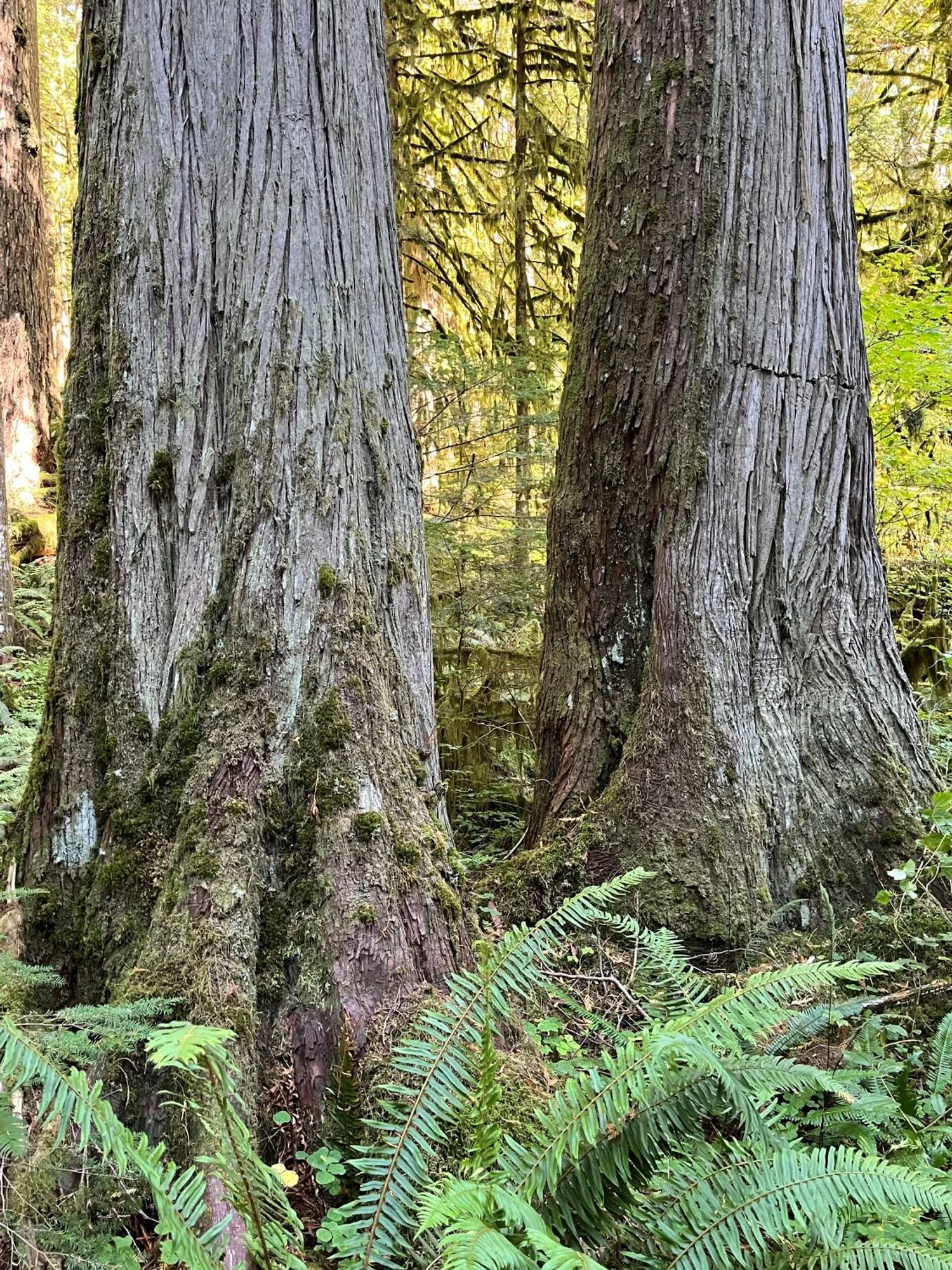
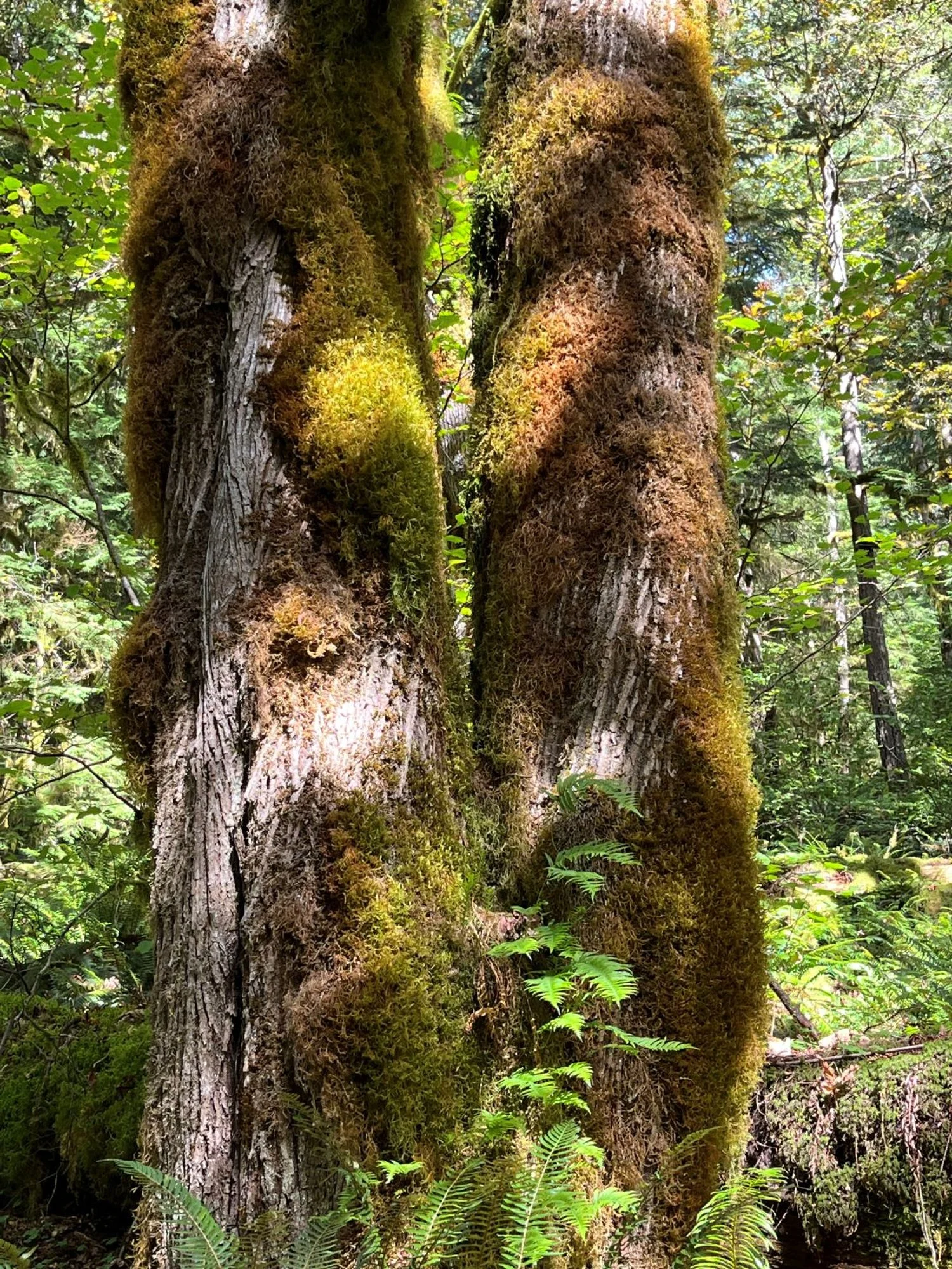
Twin redcedars
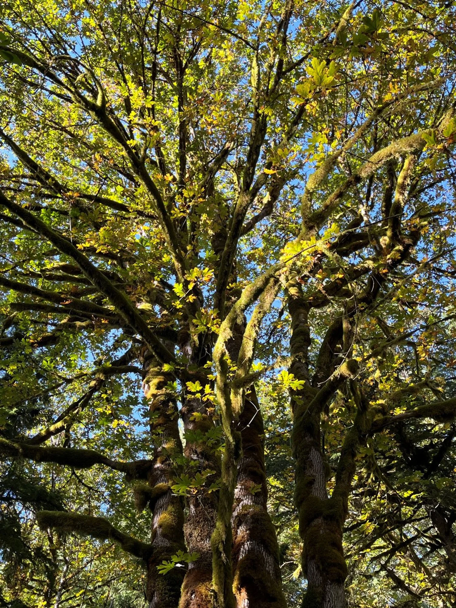
Bigleaf maple cluster
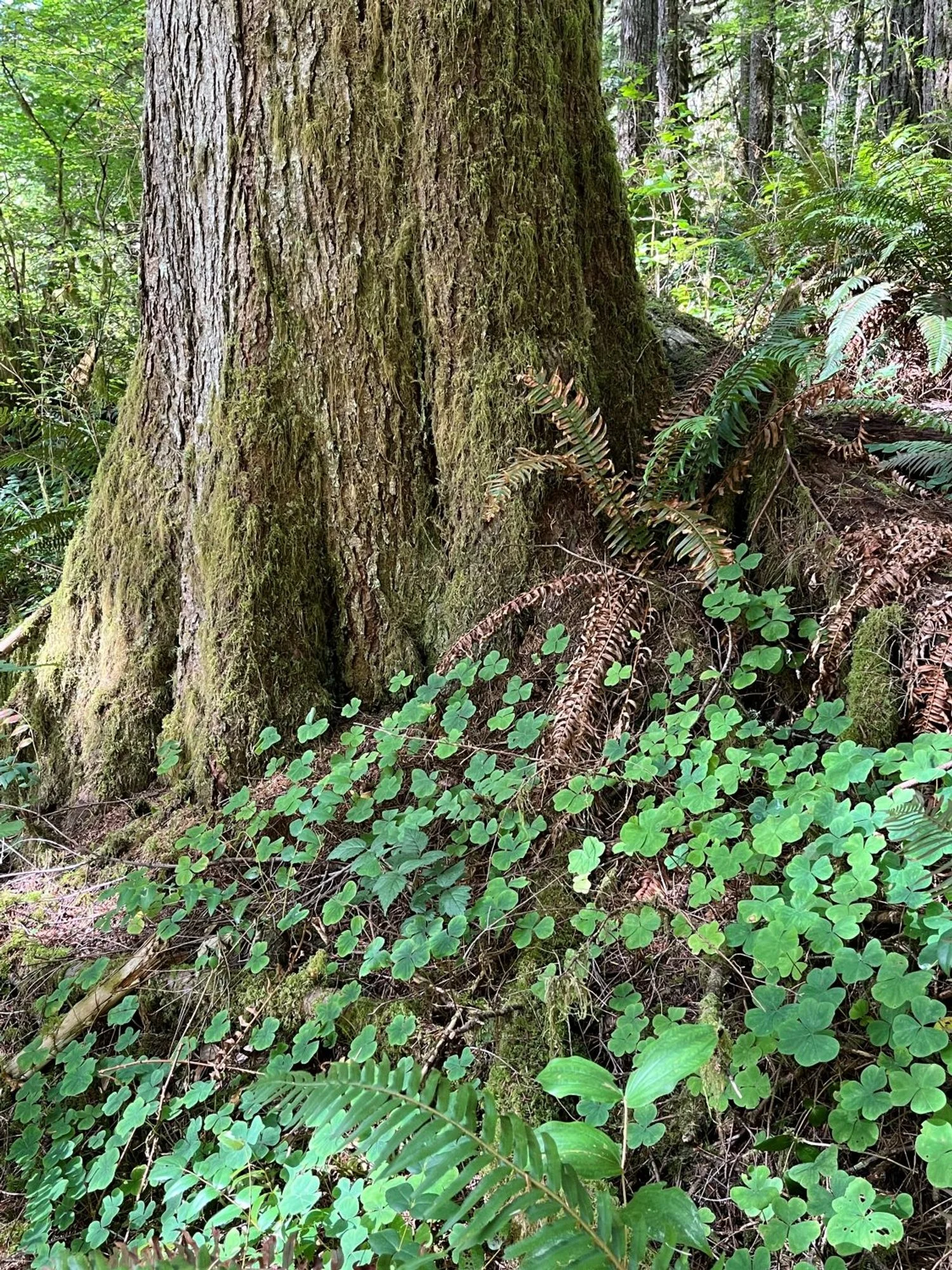
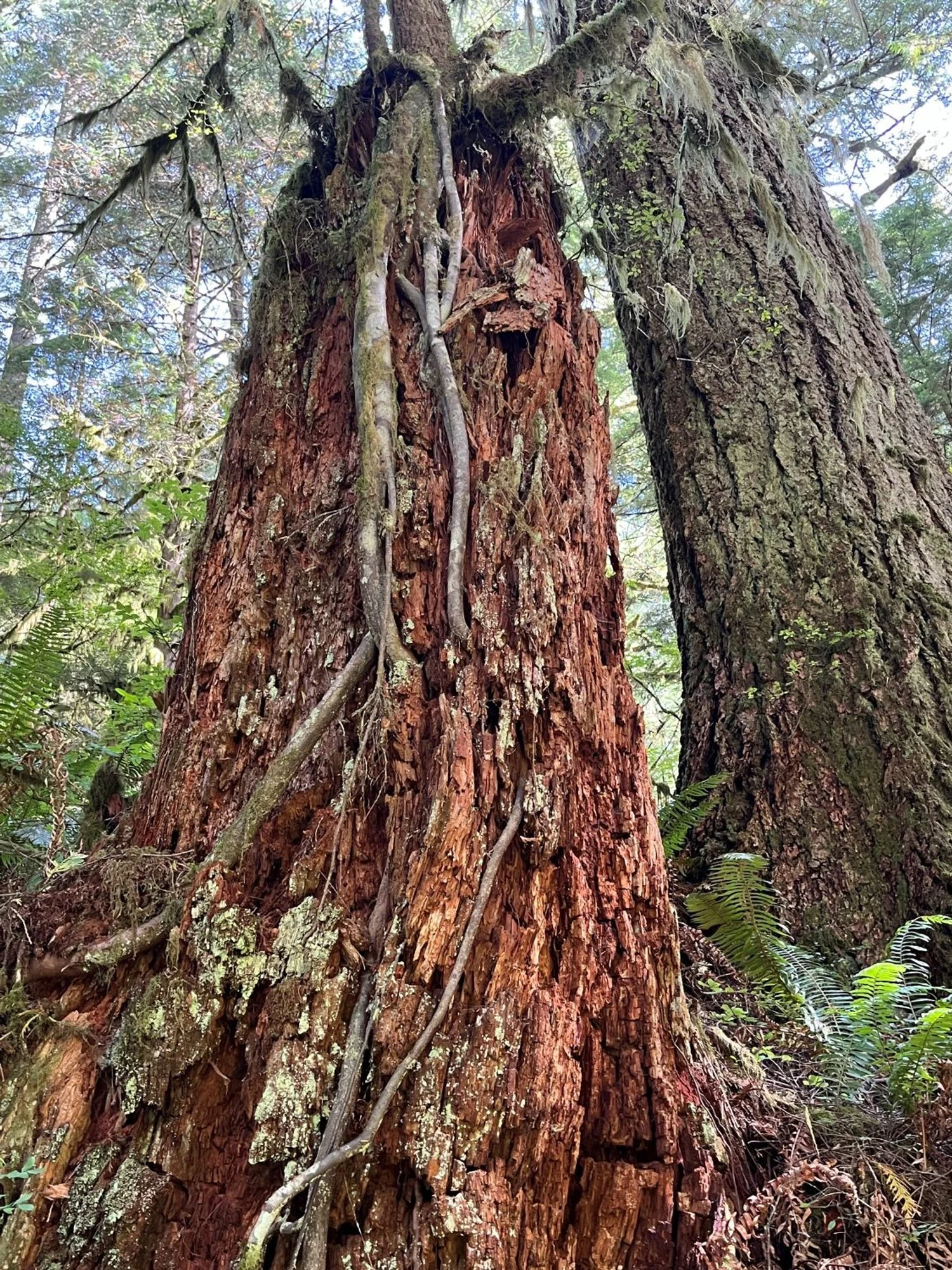
Old western hemlock