11. Lolo Pass

Pacific silver fir
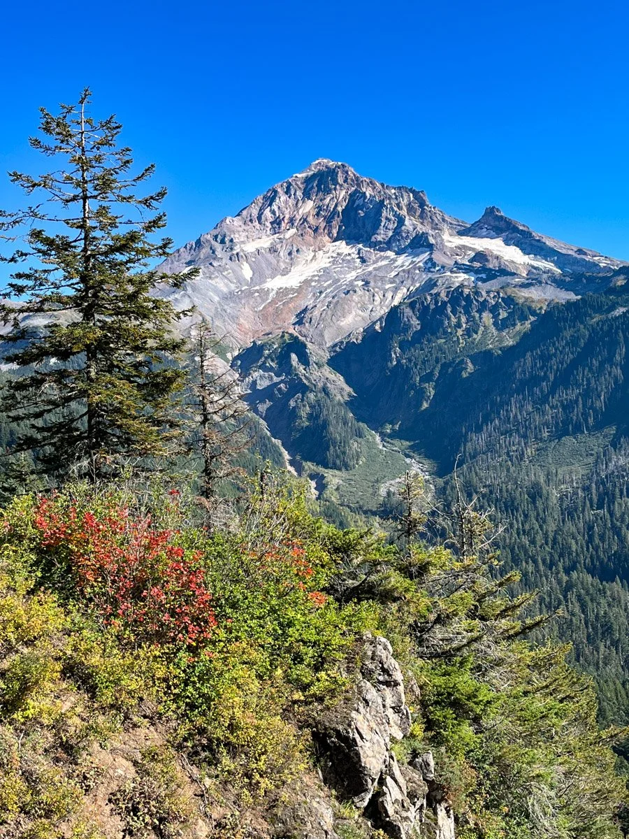
Mount Hood
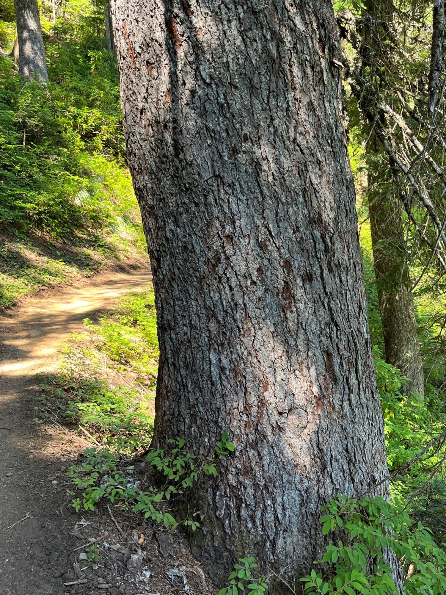
Pacific silver fir
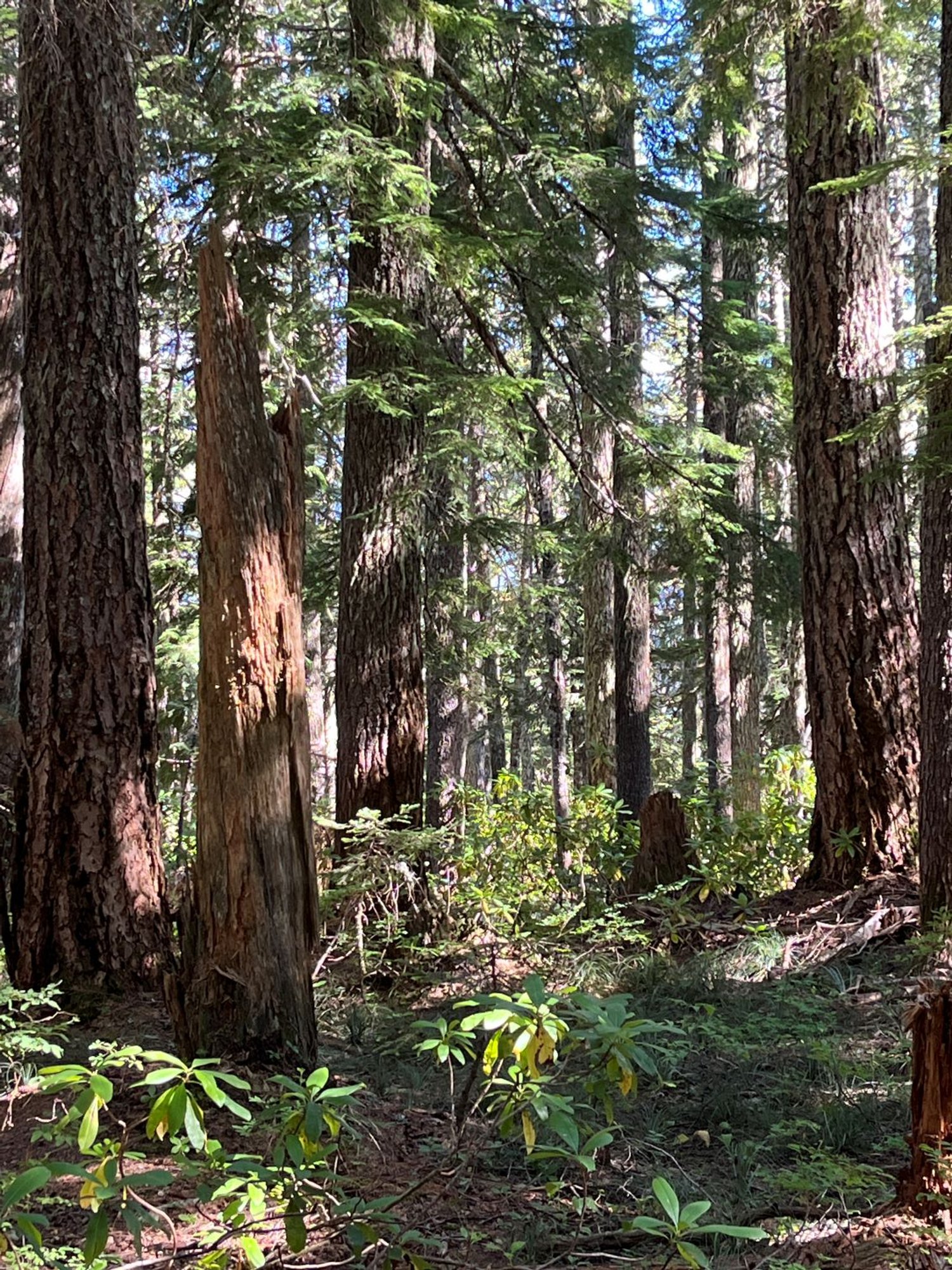
Douglas-fir/western hemlock old growth

Blowdown

Trio of noble fir