17. Lolo Pass – Bald Mountain

Mount Hood

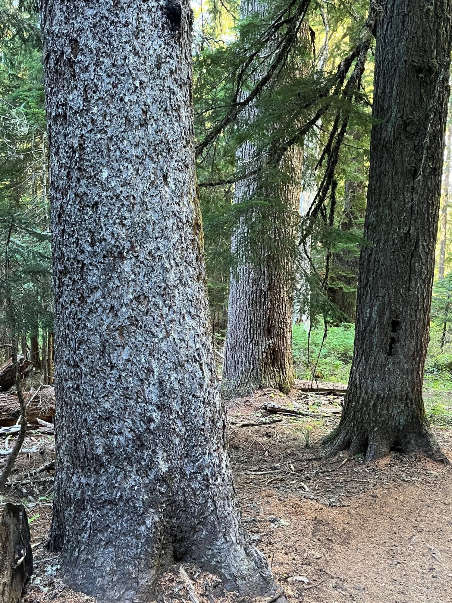
Trio of stocky hemlocks
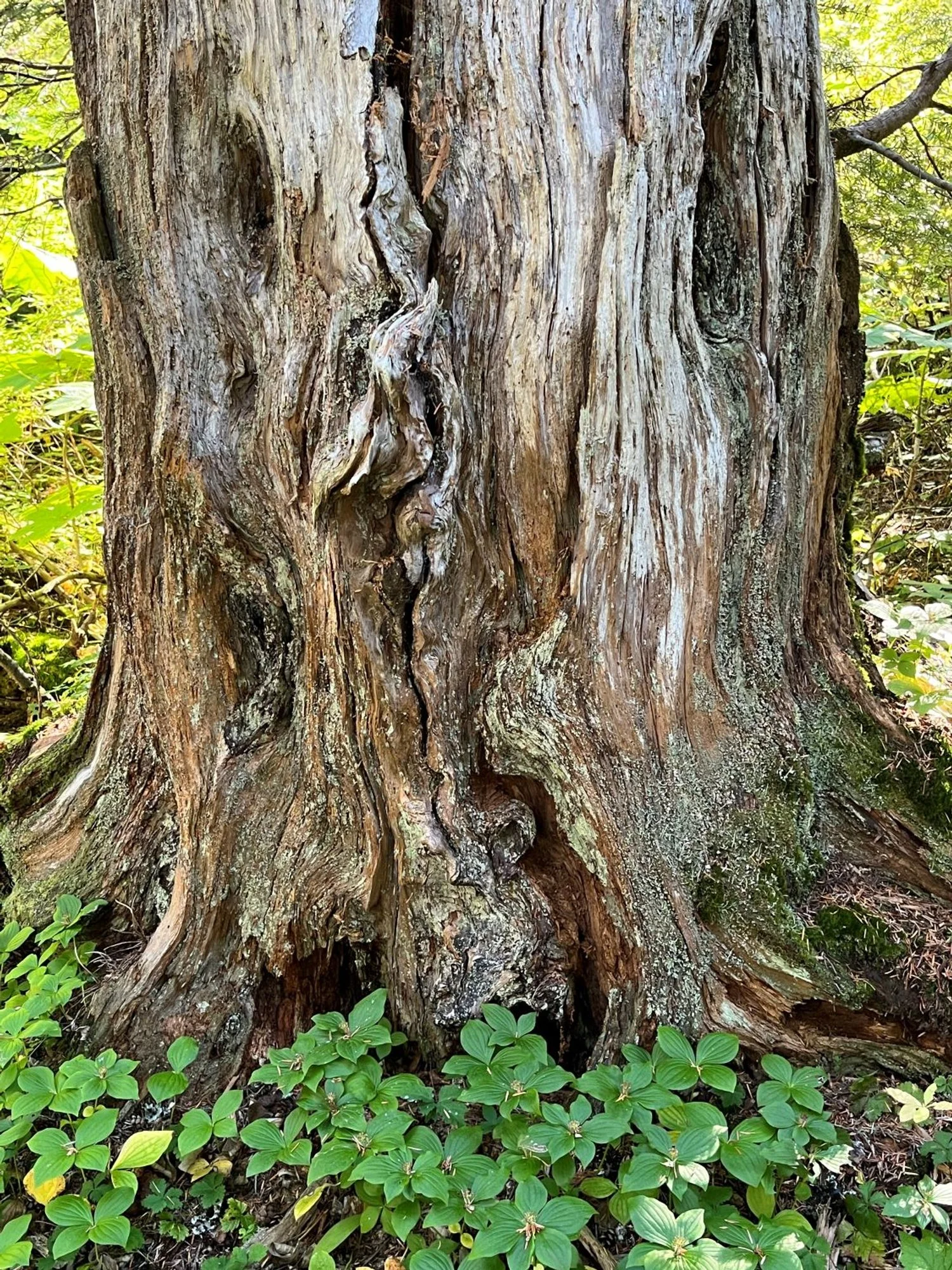
Snag art

Noble fir and western hemlock

Noble fir and western hemlock

Blowdown (2020)

Yocum Ridge blowdown (2020)
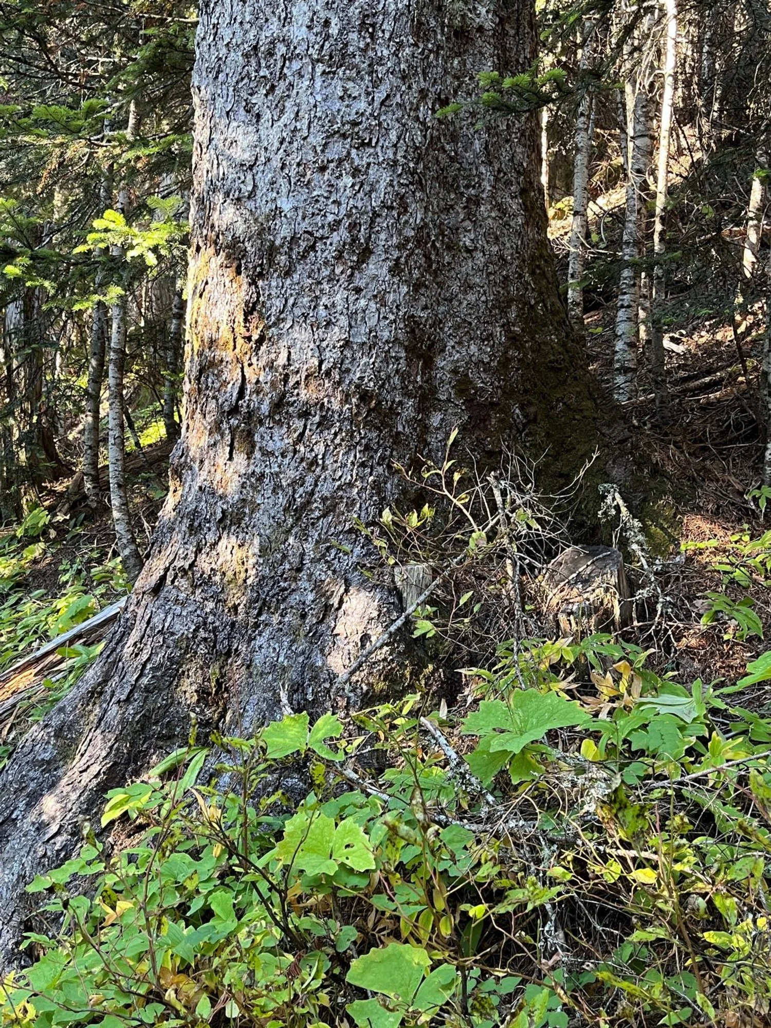
Fat silver fir
Pacific silver fir and western hemlock

Curvaceous western redcedar

Moss-covered western hemlock
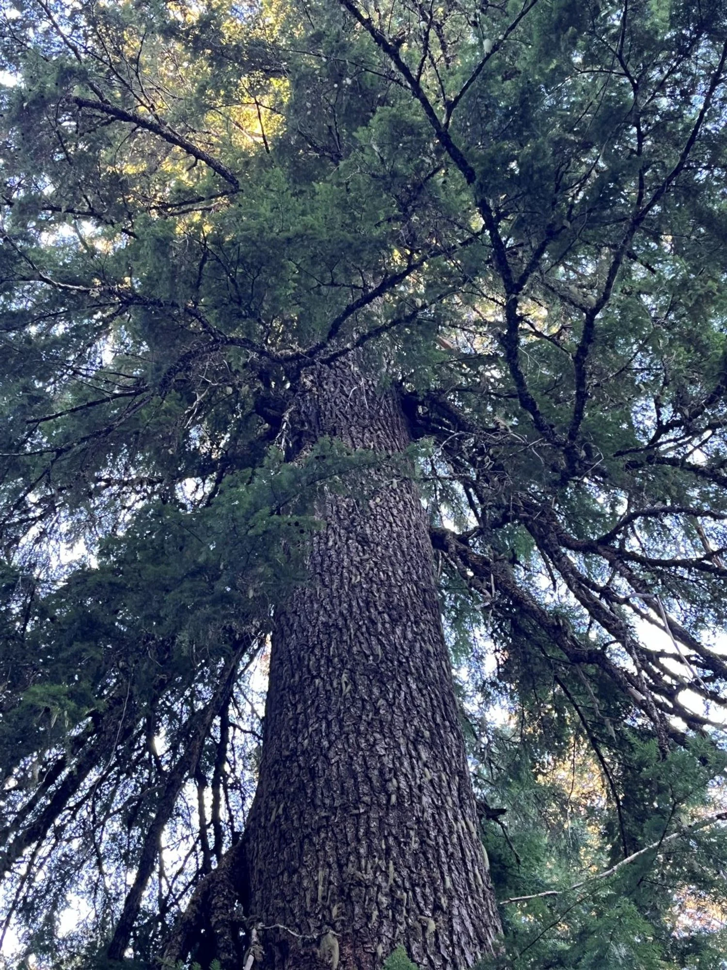
Western hemlock crown