11. South Pyramid Creek
Note: The Pyramid Fire (2024) burned over almost all of this hike, and the trail is now closed.
Summary
Length 2 to 5 miles one way
Difficulty Easy to Moderate
Season Spring to autumn
Elevation range 1,960 feet – 2,840 feet
Human imprint Minimal
Information Willamette National Forest, Sweet Home Ranger District
Primary old growth features
Long, unbroken expanse of remote low-elevation old growth; patches of very old forest.
Description
The lower portion of the South Pyramid Creek Trail (#3403) connects with a portion of the Chimney Creek Trail (3382) for a wonderful hike through unbroken old forest. The short version can be taken down to the falls and swimming hole on the Middle Santiam (see also Hike 10), while the longer version provides a ford-free route through nearly five miles of classic Middle Santiam primeval forest. The trail is lightly used, although it is part of the Old Cascade Crest Loop so there is mountain bike use, especially on weekends.
From the South Pyramid Horse Camp trailhead, head downslope for about two miles through a fine forest of old Douglas-firs and western hemlocks. Stay to the left at the junction with the Chimney Peak Trail to reach the river, falls and swimming hole. Turn right on the Chimney Peak Trail towards Pyramid Creek for a longer immersion in truly old forest. Continue for two and a half miles or so until reaching a logical stopping point at unbridged Pyramid Creek. On each of my visits here over 30+ years I’ve rough-counted trailside Douglas-firs at well over 600 years old.
For additional old growth on the South Pyramid Trail, head upslope from the Horse Camp trailhead through old growth until the trail reaches FR 2047. Above the road older clearcuts have fragmented the forest until re-entering old growth on the south-facing slope of South Pyramid. The last mile on the eastern end traverses a stately stand of transition old growth with large noble fir and understory Pacific fir mixing in with Douglas-fir and western hemlock. The trail ends at the Three Pyramids Trailhead (see hike 12).
25 Years of Change
Thankfully, the forest here is little changed.
How to get there
To reach the trailhead via better roads that avoid private lands, turn west onto the Parish Lake Road (FR 2266) off of Highway 22, approximately 7 and a half miles north of Highway 20 (23 miles south of Detroit). The Parish Lake Road is paved until reaching a junction with FR 2047 just over 3 miles from Highway 20. Turn left on FR 2047 and follow for 7 miles, then turn right onto FR 747 and reach the trailhead in just under a mile. It is also possible to reach the FR 2047/747 junction from Highway 20 by following the Sheep Creek Road (FR 2047) for a little over 13 miles from Highway 20. This route commonly has active logging operations during the week. The 2047/747 junction can also be reached via FR 840 and turning right on FR 2047.

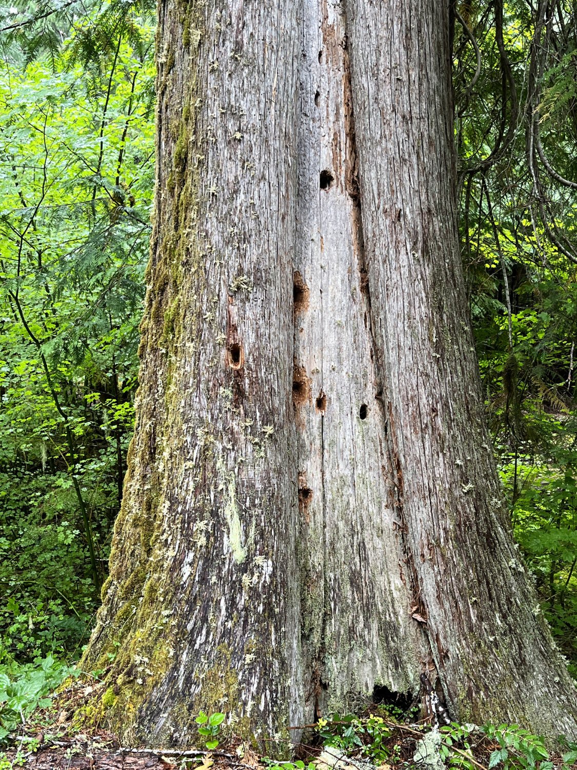
Old western redcedar

Western redcedar

Douglas-fir old growth
