30. Barlow Butte
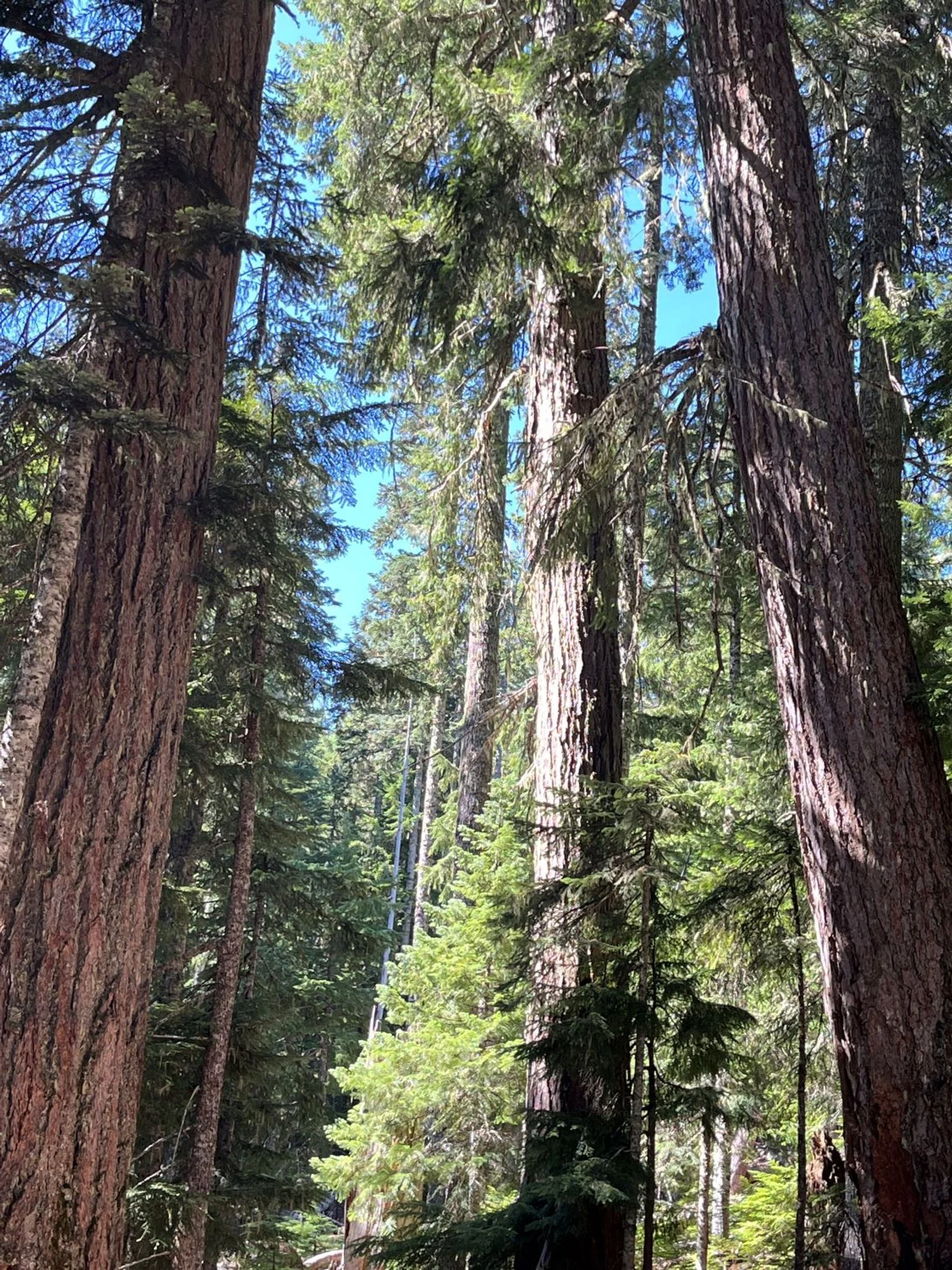
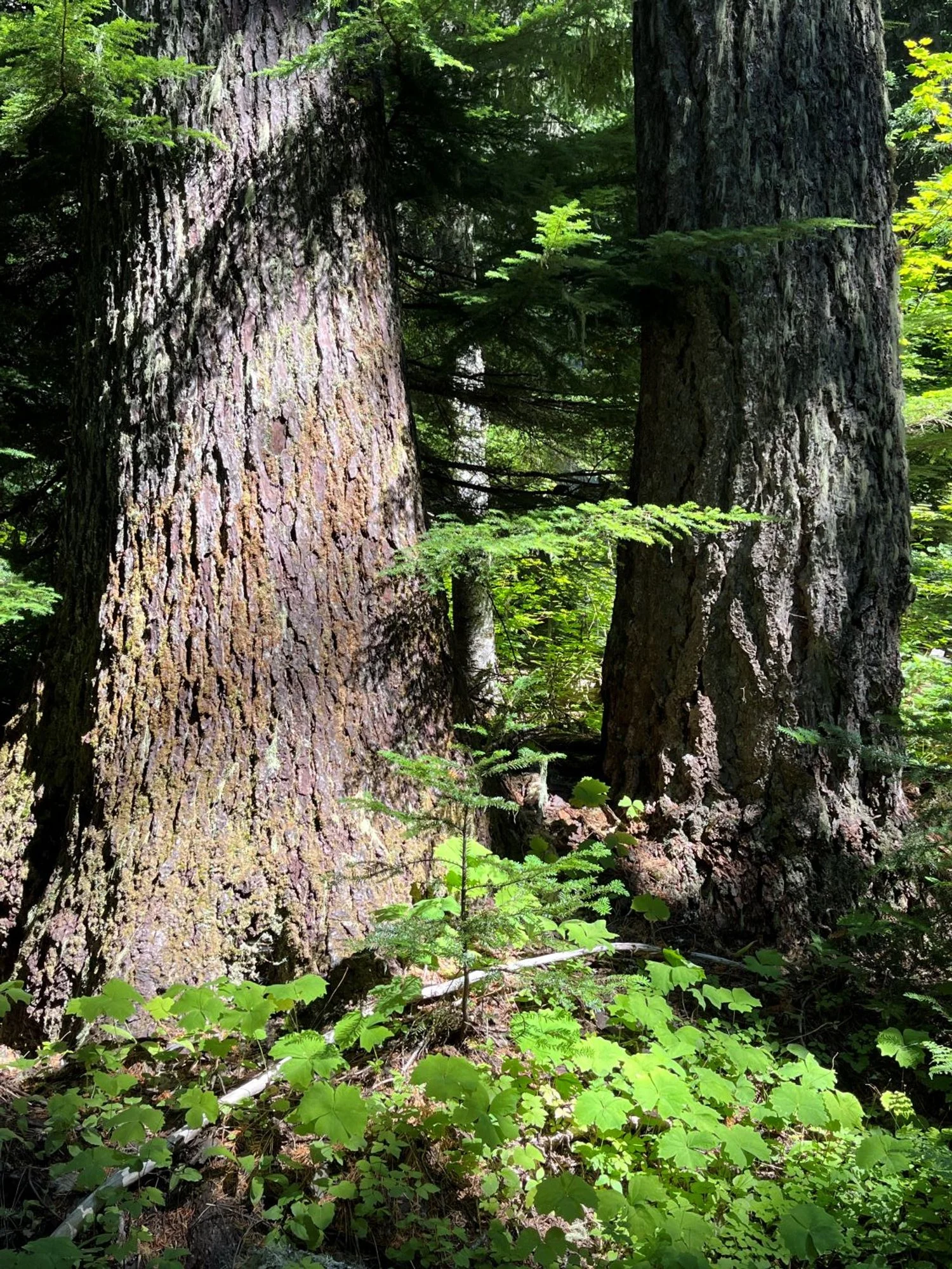
Triplets of Barlow
Big, fat silver fir
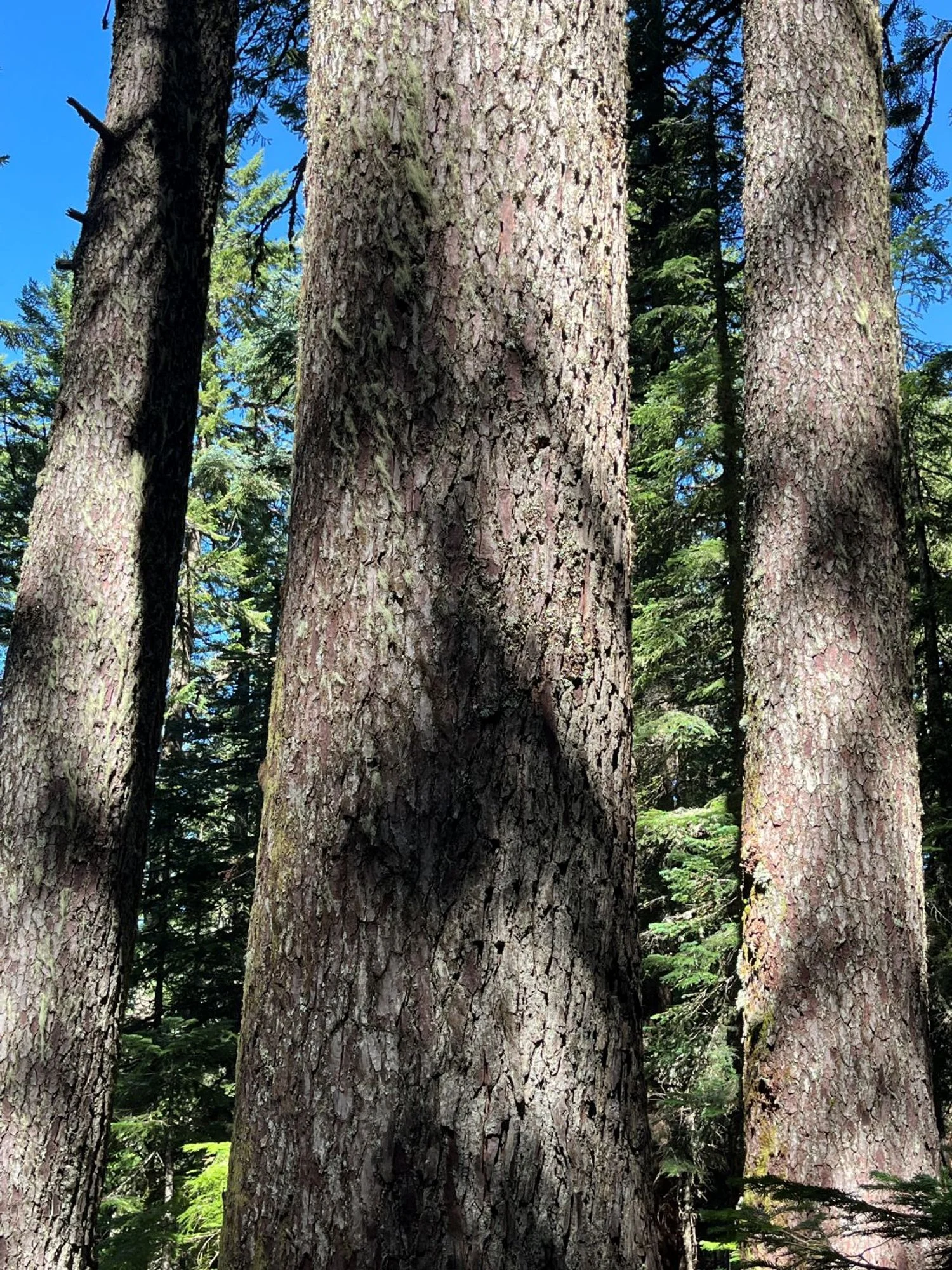
Trio of noble fir
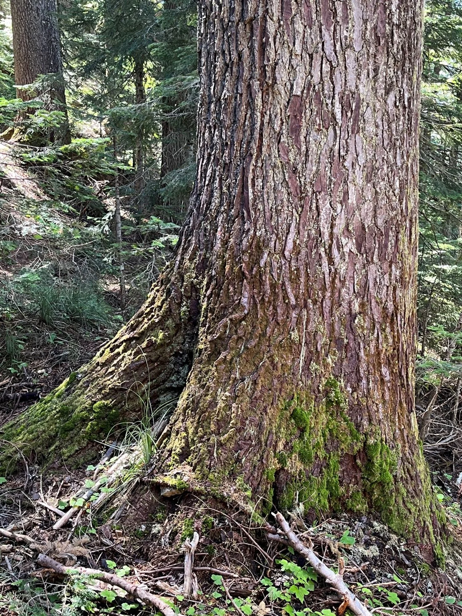
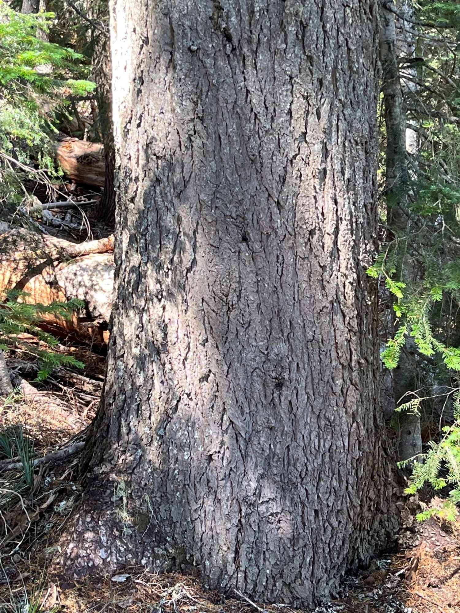
Characteristic noble fir bark
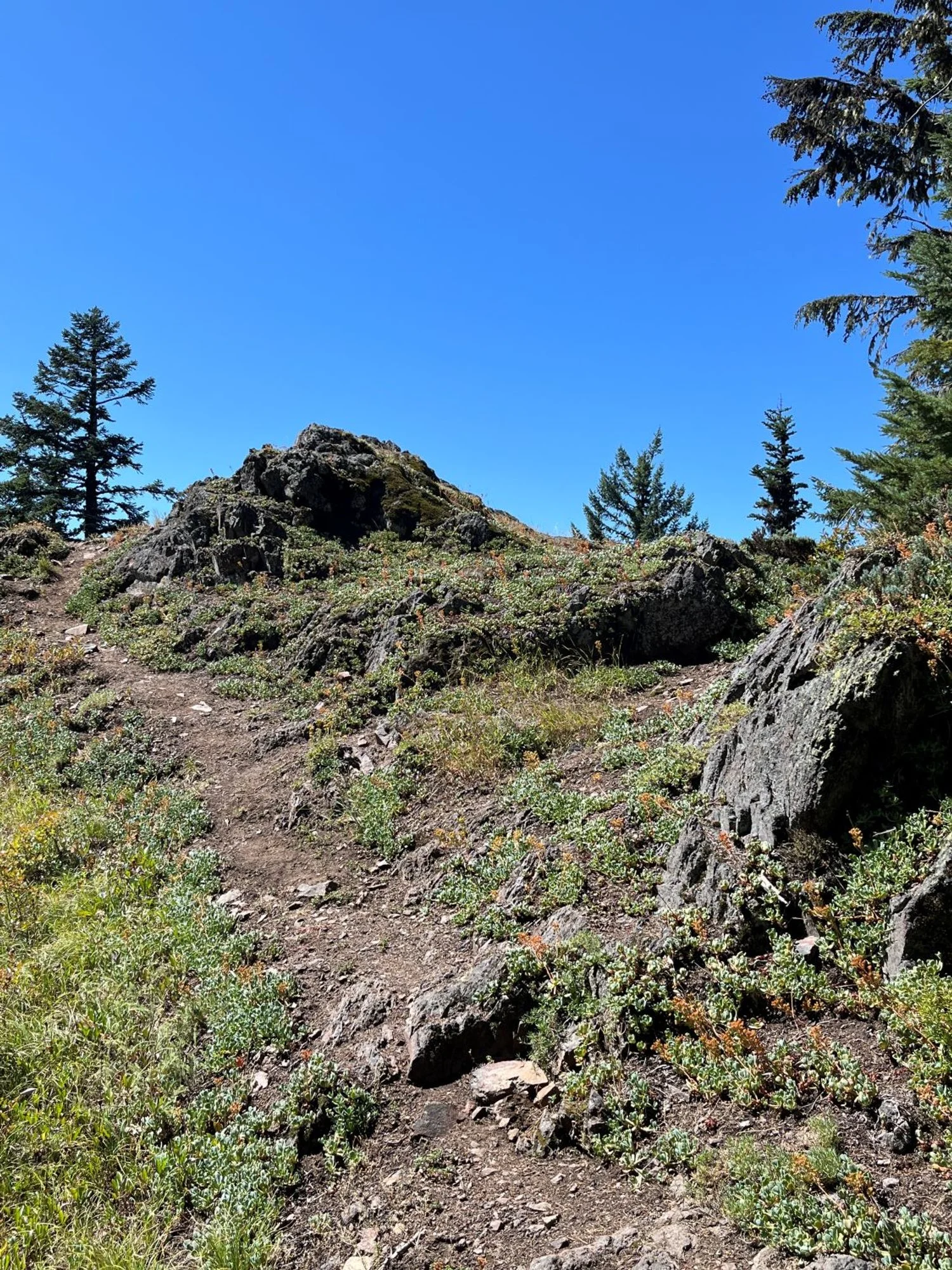
Top of Barlow Butte; looks like there's a view ...
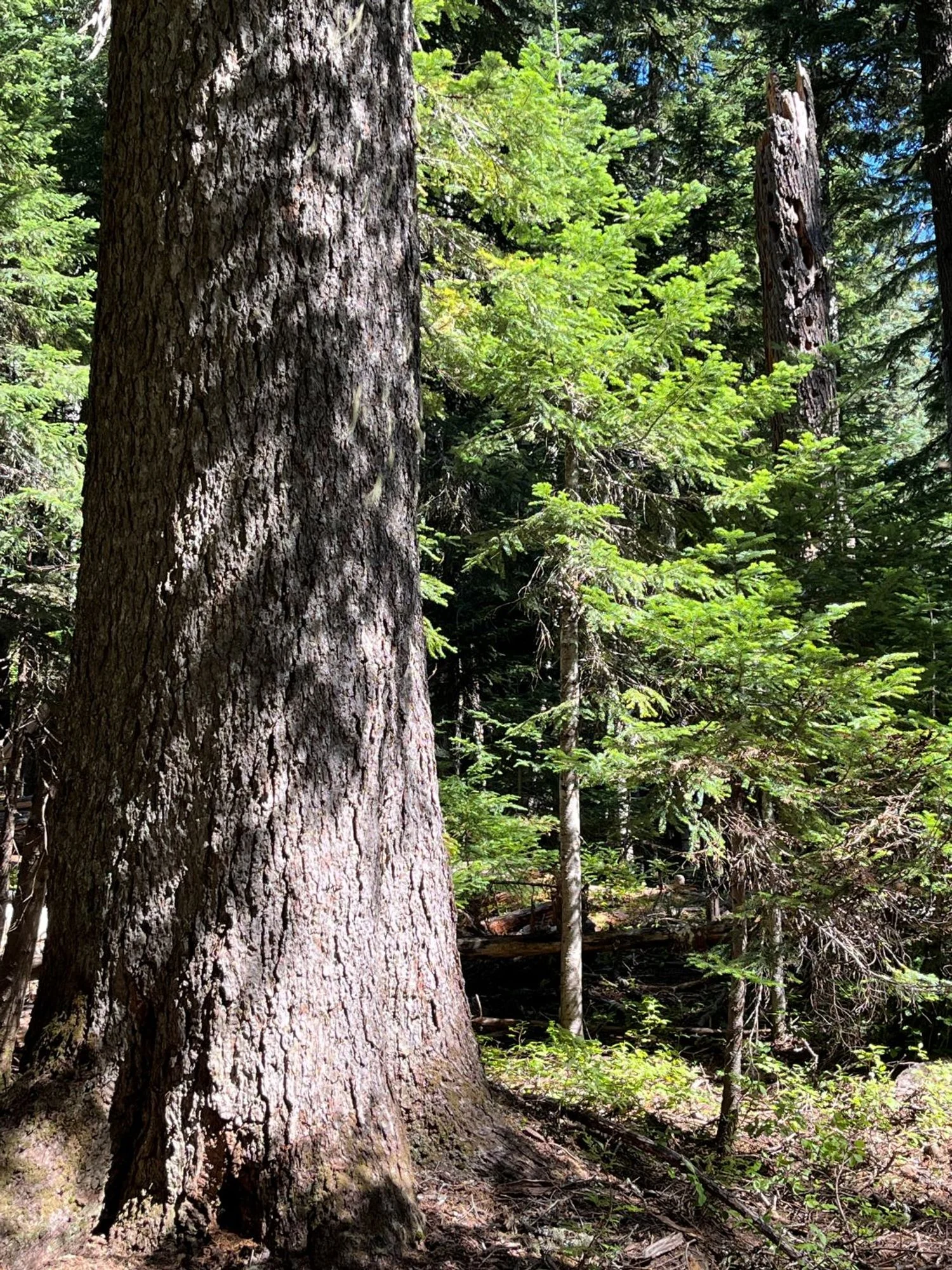
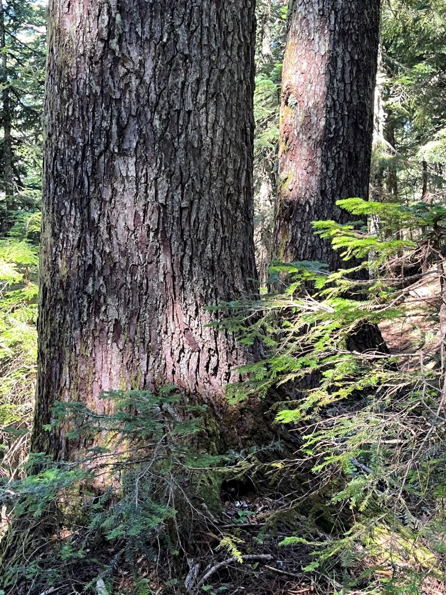
Old noble fir and Douglas-fir
Old mountain hemlock
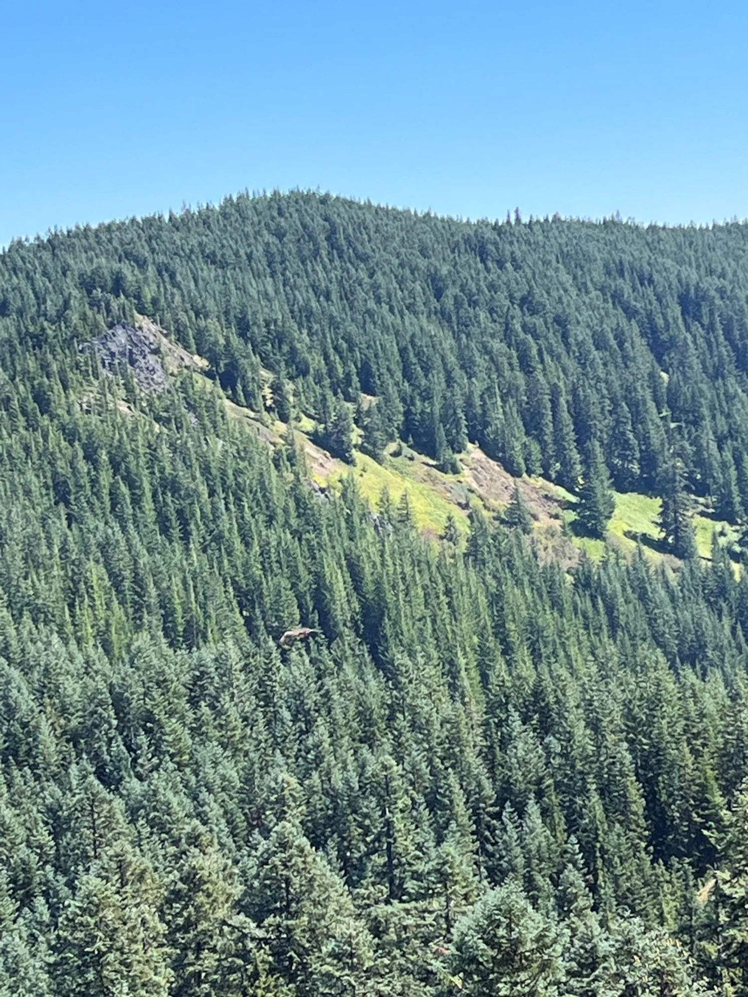
Meadow on Barlow RIdge
Majestic noble fir