47 - Fall Creek

Upper Fall Creek

Big Doug-fir

Slick Creek bridge, after the Jones Fire (2018) but prior to the Bedrock Fire (2023)
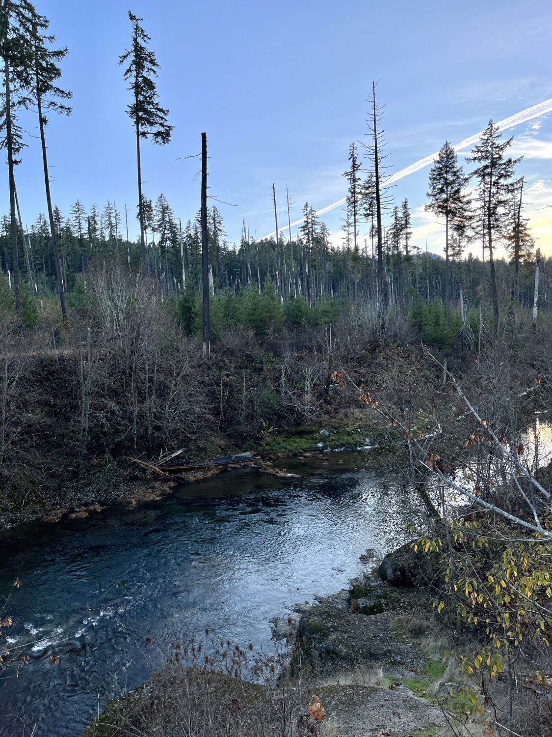
Post Clark Creek Fire
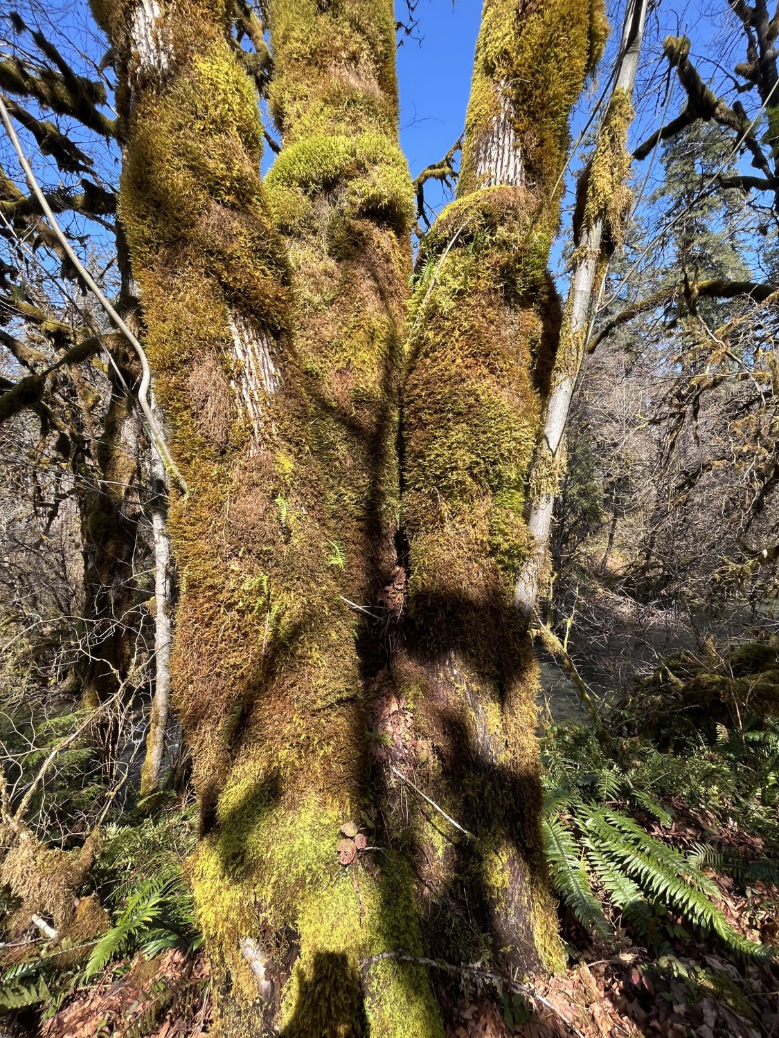
Mossy maple

Western redcedar & Douglas-fir